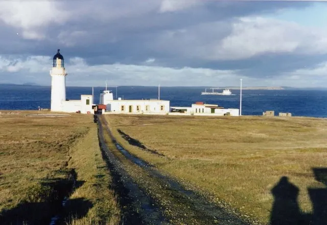
Stroma Lighthouse
Located in Highland, Scotland Coordinates: 58°41′45″ N 3°07′00″ W
- Local time
- UTC+00:00
- Europe/London · UTC+00:00
- Elevation
- 11 m
- above sea level
About Stroma Lighthouse
Stroma Lighthouse is a landmark. Location: Highland, Scotland.
Stroma is an uninhabited island in the Pentland Firth, between Orkney and the mainland of Scotland. It forms part of the civil parish of Canisbay in Caithness, in the Highland council area. The name comes from the Old Norse Straumey, meaning "island in the stream". Ancient stone structures testify to the presence of Stroma's earliest residents, while a Norse presence around 900–1,000 years ago is recorded in the Orkneyinga Saga. It has been politically united with Caithness since at least the 15th century.
Read more on Wikipedia Text: Wikipedia contributors · CC BY-SA 4.0 · shortened
At a glance
- Built
- 1890
- Height
- 23 m
Source: Wikidata
In comparison
- 25 sights and natural places within 10 km Island of Stroma, Red Head
Nearby attractions & nature
Everything nearby-
Red Head Natural site, Highland1.8 km SW
-
Tree Geo Natural site, Highland1.9 km SE
-
Island of Stroma Island, Highland1.7 km S
-
Cairn Hill (Stroma) Mountain, Highland2.4 km S
-
Mell Head Natural site, Highland3.4 km SW
-
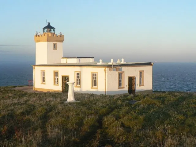 Duncansby Head Lighthouse Landmark, Highland7.8 km SE
-
Swona Lighthouse Landmark, Orkney Islands5.4 km NE
-
John O’Groats House Historic site, Highland5.9 km SE
Nearest towns and villages
-
Gills Village, Highland7.1 km SW
-
Huna Village, Highland6.1 km S
-
Canisbay Village, Highland7.1 km S
-
West Canisbay Village, Highland7 km S
More sights in Highland
-
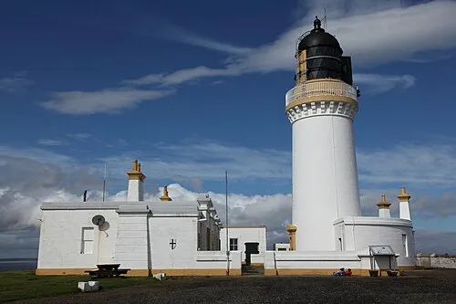 Noss Head Lighthouse Landmark, Highland24 km S
-
Dunnet Head Lighthouse Landmark, Highland15 km W
-
Keiss Castle Historic site, Highland18 km S
-
Harolds Tower Landmark, Highland24 km SW
-
Castle Sinclair Girnigoe Historic site, Highland24 km S
-
Castle Girnigoe (duplicate) Historic site, Highland24 km S
Sources & licences
Data last updated: · 2 independent sources