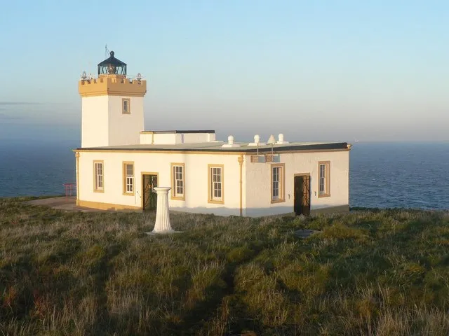
Duncansby Head Lighthouse
Located in Highland, Scotland Coordinates: 58°38′39″ N 3°01′30″ W
- Local time
- UTC+00:00
- Europe/London · UTC+00:00
- Elevation
- 23 m
- above sea level
- Airports
- WIC Wick John O'Groats Airport21 km
- KOI Kirkwall Airport36 km
About Duncansby Head Lighthouse
Duncansby Head Lighthouse is a landmark. Location: Highland, Scotland.
Duncansby Head (Scottish Gaelic: Ceann Dhunngain or Dùn Gasbaith) is the most northeasterly part of both the Scottish and British mainlands, slightly northeast of John o' Groats. It lies approximately 20 km (12 mi) east-southeast of Dunnet Head, the northernmost point of both the Scottish and British mainlands. Duncansby Head is in Caithness, Highland, in north-eastern Scotland. The headland juts into the North Sea, with the Pentland Firth to its north and west and the Moray Firth to its south.
Source: Wikipedia · CC BY-SA 4.0
At a glance
- Built
- 1924
- Height
- 11 m
Source: Wikidata
Climate of Duncansby Head Lighthouse
Best months for sightseeingBest months for sightseeing: July–August.
This month · November
A wet month
Day 9° · Night 4° · Rain 122 mm
- Hottest month
- August (day 16°)
- Coldest month
- February (night 2°)
- Wettest month
- November (122 mm)
- Driest month
- May (54 mm)
Bars: average monthly low and high temperature. Below: precipitation. Monthly averages for 1970–2000 at about 18 km resolution, adjusted for elevation. Highlighted months are mild and relatively dry. Source: WorldClim 2.1 (CC BY 4.0).
Show values as a table
| Month | Jan | Feb | Mar | Apr | May | Jun | Jul | Aug | Sep | Oct | Nov | Dec |
|---|---|---|---|---|---|---|---|---|---|---|---|---|
| Average high (°C) | 6° | 6° | 7° | 9° | 11° | 14° | 15° | 16° | 14° | 12° | 9° | 7° |
| Average low (°C) | 2° | 2° | 2° | 3° | 5° | 8° | 10° | 10° | 8° | 6° | 4° | 2° |
| Precipitation (mm) | 107 | 83 | 96 | 63 | 54 | 54 | 62 | 72 | 98 | 115 | 122 | 113 |
How to get to Duncansby Head Lighthouse
The nearest airport is Wick John O'Groats Airport (WIC), 21 km to the south as the crow flies. The nearest large city is Aberdeen, 176 km to the south.
Airports
- Wick John O'Groats Airport (WIC) Wick 21 kmsouth
- Kirkwall Airport (KOI) Kirkwall, Orkney Islands 36 kmnorth
- Eday Airport (EOI) Eday 63 kmnorth
Nearby large cities
- Aberdeen Population: 198.6K 176 kmsouth
- Dundee Population: 148.2K 242 kmsouth
- Edinburgh Population: 515K 300 kmsouth
- Glasgow Population: 626.4K 318 kmsouth
Straight-line distances; road distances are longer. Airport data: OurAirports.
Nearby attractions & nature
Everything nearby-
Duncansby Head Natural site, Highland<0.1 km E
-
The Knee Mountain, Scotland0.6 km S
-
Bay of Sannick Natural site, Highland0.8 km NW
-
John O’Groats House Historic site, Highland2.5 km W
-
South Stack of Duncansby Mountain, Scotland1.7 km S
-
Hill of Crogodale Mountain, Highland3.1 km S
-
Wife Geo Natural site, Highland3.1 km S
-
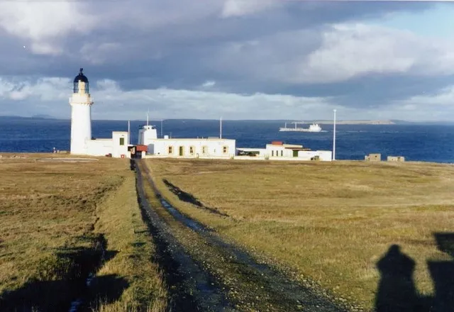 Stroma Lighthouse Landmark, Highland7.8 km NW
Nearest towns and villages
-
Duncansby Village, Highland1.4 km SW
-
John O' Groats Village, Highland2.3 km W
-
Huna Village, Highland4 km W
-
Seater Village, Highland4.7 km W
More sights in Highland
-
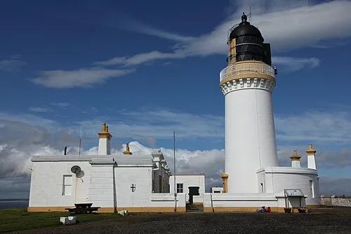 Noss Head Lighthouse Landmark, Highland18 km S
-
Keiss Castle Historic site, Highland13 km S
-
Castle Sinclair Girnigoe Historic site, Highland19 km S
-
Castle Girnigoe (duplicate) Historic site, Highland19 km S
-
Dunnet Head Lighthouse Landmark, Highland21 km W
-
Wick Harbour Lighthouse Landmark, Highland23 km S
Sources & licences
Data last updated: · 2 independent sources