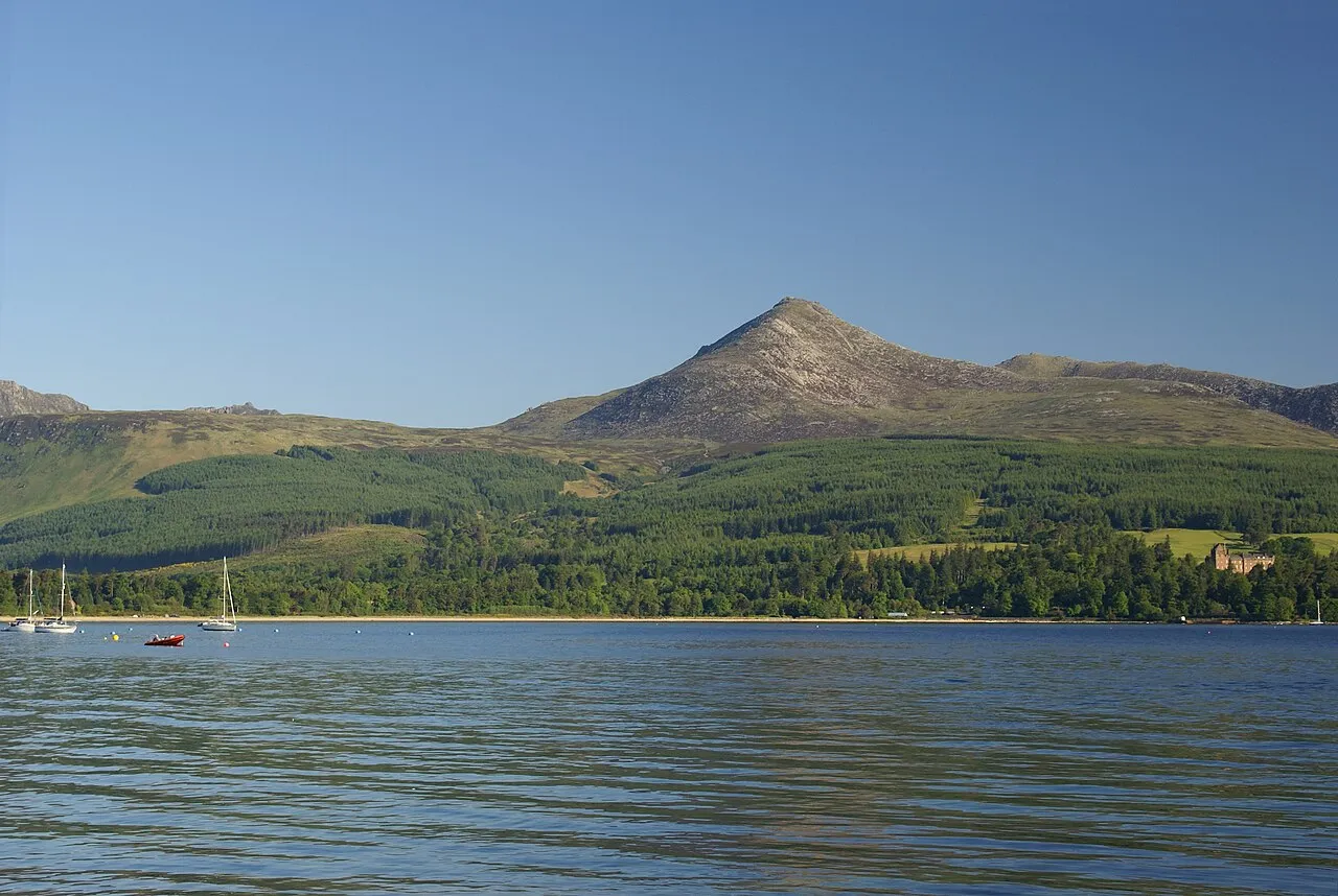
- Elevation
- 875 m
- above sea level
- Airports
- CAL Campbeltown Airport38 km
- PIK Glasgow Prestwick Airport41 km
About Goatfell [Goat Fell]
Goatfell [Goat Fell] is an island. Location: North Ayrshire, Scotland.
Goat Fell (Scottish Gaelic: Gaoitbheinn) is the highest point on the Isle of Arran. At 875 metres (2,871 ft), it is one of four Corbetts on the island. The mountain, along with nearby Brodick Castle, is now owned by the National Trust for Scotland.
Source: Wikipedia · CC BY-SA 4.0
Photos of Goatfell [Goat Fell]
-

Director General of the Ordnance Survey, UK · Public domain -

James Johnstone from Ecclefechan, Scotland · CC BY 2.0 -

James Johnstone from Ecclefechan, Scotland · CC BY 2.0 -

Valaskin · CC BY-SA 4.0 -

MacSteaphain · CC BY-SA 3.0


Climate of Goatfell [Goat Fell]
This month · November
A wet month
Day 5° · Night 0° · Rain 193 mm
- Hottest month
- July (day 13°)
- Coldest month
- February (night -2°)
- Wettest month
- January (210 mm)
- Driest month
- May (93 mm)
Bars: average monthly low and high temperature. Below: precipitation. Monthly averages for 1970–2000 at about 18 km resolution, adjusted for elevation. Highlighted months are mild and relatively dry. Source: WorldClim 2.1 (CC BY 4.0).
Show values as a table
| Month | Jan | Feb | Mar | Apr | May | Jun | Jul | Aug | Sep | Oct | Nov | Dec |
|---|---|---|---|---|---|---|---|---|---|---|---|---|
| Average high (°C) | 3° | 3° | 4° | 6° | 10° | 12° | 13° | 13° | 11° | 8° | 5° | 3° |
| Average low (°C) | -2° | -2° | -1° | 0° | 3° | 5° | 7° | 7° | 5° | 3° | 0° | -1° |
| Precipitation (mm) | 210 | 136 | 167 | 101 | 93 | 100 | 112 | 135 | 168 | 186 | 193 | 200 |
How to get to Goatfell [Goat Fell]
The nearest airport is Campbeltown Airport (CAL), 38 km to the southwest as the crow flies. For international flights: Glasgow Prestwick Airport (PIK) (41 km). The nearest large city is Glasgow, 64 km to the northeast.
Airports
- Campbeltown Airport (CAL) Campbeltown 38 kmsouthwest
- Glasgow Prestwick Airport (PIK) Prestwick, South Ayrshire 41 kmeast
- Glasgow Airport (GLA) Glasgow 55 kmnortheast
Nearby large cities
- Glasgow Population: 626.4K 64 kmnortheast
- Belfast Population: 348K 124 kmsouth
- Edinburgh Population: 515K 130 kmeast
- Dundee Population: 148.2K 167 kmnortheast
- Newcastle upon Tyne Population: 300.1K 239 kmeast
Straight-line distances; road distances are longer. Airport data: OurAirports.
Day trips from Goatfell [Goat Fell]
Within 100 km: 119 historic and cultural sites, 2,536 natural sites, 1,091 lakes, rivers and coasts.
0–25 km183 places
- Isle of Arran Island 5 kmSW
- Great Cumbrae Island Island 23 kmNE
- Hunterston Sands Beach 22 kmNE
- Pladda Island 23 kmS
25–60 km1,019 places
- Ayr Beach Beach 39 kmSE
- Troon Beach Beach 35 kmE
- Cala Island 50 kmNW
- Sheep Island Island 44 kmSW
60–100 km2,544 places
- Colonsay Island 81 kmNW
- Kiloran Beach Beach 82 kmNW
- Scarba Island 70 kmNW
- Oronsay Island 80 kmNW
Straight-line distances.
Nearest towns and villages
-
Isle of Arran Town, North Ayrshire5.1 km S
-
Brodick Village, North Ayrshire6.3 km SE
-
Corrie Village, North Ayrshire3.8 km NE
-
Sannox Village, North Ayrshire4.7 km NE
-
Glenshurig Village, North Ayrshire4.8 km S
-
Invercloy Neighbourhood, North Ayrshire6 km SE
Nearby attractions & nature
Everything nearby-
 North Goatfell Mountain, North Ayrshire0.7 km N
-
Mullach Buidhe Mountain, North Ayrshire1.2 km N
-
Beinn a' Chliabhain Mountain, North Ayrshire2.2 km SW
-
Cir Mhor Mountain, North Ayrshire2.4 km NW
-
Cioch na h-Oighe Mountain, North Ayrshire2.5 km N
-
A' Chir Mountain, North Ayrshire2.6 km W
-
Beinn Tarsuinn Mountain, North Ayrshire2.8 km W
-
Glen Sannox Natural site, Scotland2.7 km N
More lakes, rivers and coasts in United Kingdom
-
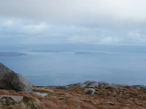 Great Cumbrae Island Island, North Ayrshire23 km NE
-
Holy Island Island, North Ayrshire13 km SE
-
Lighthouse Hill Island, North Ayrshire18 km NE
-
Little Cumbrae Island Island, North Ayrshire18 km NE
-
Castle Island Island, North Ayrshire19 km NE
-
Hunterston Sands Beach, North Ayrshire22 km NE
Sources & licences
Data last updated: · 2 independent sources