Eday
Located in Orkney Islands, Scotland Coordinates: 59°11′00″ N 2°47′00″ W
- Elevation
- 37 m
- above sea level
- Local time
- UTC+00:00
- Europe/London · UTC+00:00
- Population
- 160
- 160
About Eday
Eday is an island. Location: Orkney Islands, Scotland. Population: 160.
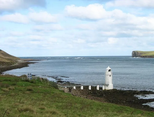
Eday (, Scots: Aidee) is one of the islands of Orkney, which are located to the north of the Scottish mainland. One of the North Isles, Eday is about 24 kilometres (13 nautical miles) from the Orkney Mainland. With an area of 27 km2 (10 sq mi), it is the ninth-largest island of the archipelago. The bedrock of the island is Old Red Sandstone, which is exposed along the sea-cliffs. There are various well-preserved Neolithic tombs, as well as evidence of Bronze Age settlement and the remains of a Norse-era castle.
Read more on Wikipedia Text: Wikipedia contributors · CC BY-SA 4.0 · shortened
At a glance
- Length
- 12 km
- Area
- 27.4 km²
Source: Wikidata
In comparison
- 58 sights and natural places within 10 km Fersness Bay, Bay of Icevay
Airports nearest to Eday
- Eday Airport (EOI) Eday 1 km
- Kirkwall Airport (KOI) Kirkwall, Orkney Islands 26 km
- Wick John O'Groats Airport (WIC) Wick 83 km
Straight-line distance; airports with scheduled flights only. Source: OurAirports (public domain).
Nearest towns and villages
Nearby attractions & nature
Everything nearby-
Fersness Bay Natural site, Orkney Islands1 km W
-
Fersness Hill Mountain, Orkney Islands1.7 km W
-
Bay of Icevay Natural site, Orkney Islands1.5 km E
-
Bay of London Natural site, Orkney Islands2.1 km NE
-
Bay of Doomy Natural site, United Kingdom1.6 km N
-
Stennie Hill Mountain, Orkney Islands2.5 km N
-
Fers Ness Natural site, Orkney Islands2.7 km NW
-
Mill Bay Natural site, Orkney Islands2.7 km NE
More lakes, rivers and coasts in United Kingdom
-
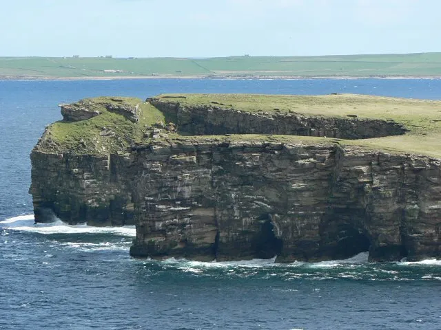 Calf of Eday Island, Orkney Islands6.3 km NE
-
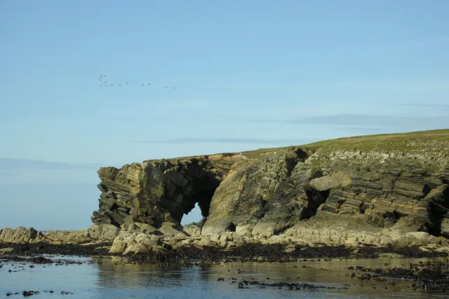 Holm of Faray Island, Orkney Islands6.3 km NW
-
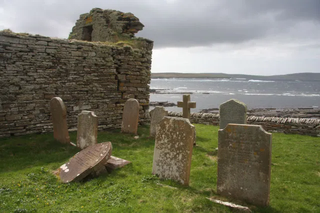 Rousay Island, Orkney Islands14 km W
-
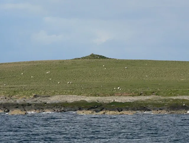 Holm of Huip Island, Orkney Islands7.8 km E
-
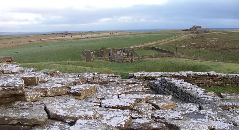 Wyre Island, Orkney Islands13 km SW
-
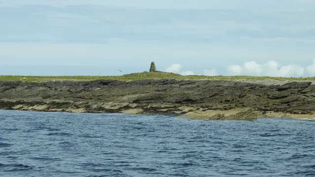 Kili Holm Island, Orkney Islands7.6 km W
Sources & licences
Data last updated: · 2 independent sources