
- Elevation
- 217 m
- above sea level
- Local time
- UTC+00:00
- Europe/London · UTC+00:00
- Airports
- GLA Glasgow Airport80 km
- DND Dundee Airport81 km
About Bridge of Balgie
Bridge of Balgie is a village. Location: Perth and Kinross, Scotland. Elevation: 217 m.
Bridge of Balgie is a hamlet in Glen Lyon (Perth & Kinross, Scotland) and lies at the junction between the east–west single track road along the foot of the glen from Fortingall to Loch Lyon and the unclassified mountain road running over the western shoulder of Ben Lawers to the A827 near Milton Morenish on the shores of Loch Tay.
Source: Wikipedia · CC BY-SA 4.0
Photos of Bridge of Balgie
-

Peter Moore · CC BY-SA 2.0 -
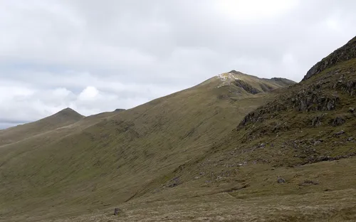
Ben Lawers Paul Hermans · CC BY-SA 3.0 -
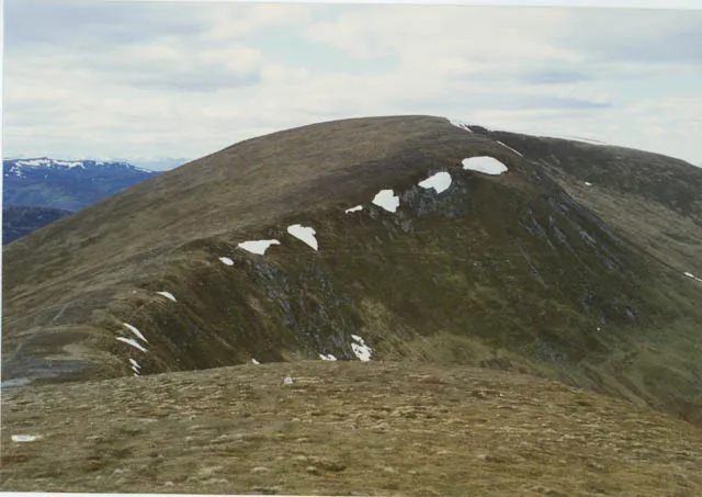
Meall a' Choire Leith Nigel Brown · CC BY-SA 2.0 -
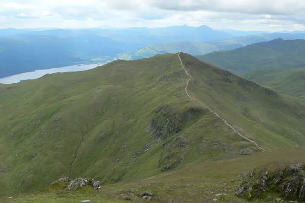
Beinn Ghlas Tithon at English Wikipedia · Public domain -
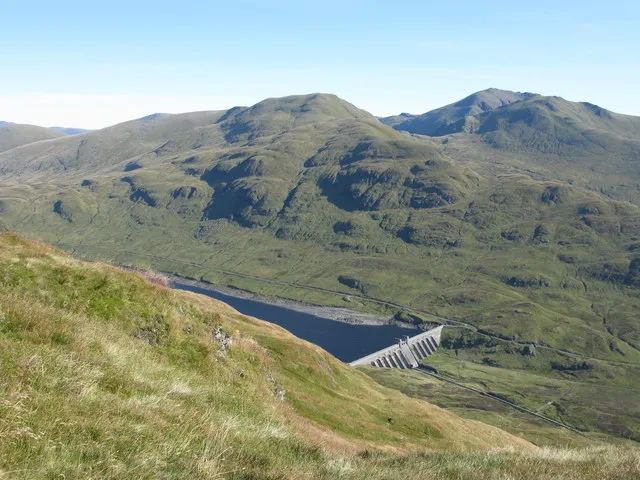
Meall Corranaich G Laird · CC BY-SA 2.0


Climate of Bridge of Balgie
Best months for sightseeingBest months for sightseeing: July.
This month · November
A wet month
Day 7° · Night 3° · Rain 226 mm
- Hottest month
- July (day 17°)
- Coldest month
- February (night 1°)
- Wettest month
- January (269 mm)
- Driest month
- June (105 mm)
Bars: average monthly low and high temperature. Below: precipitation. Monthly averages for 1970–2000 at about 18 km resolution, adjusted for elevation. Highlighted months are mild and relatively dry. Source: WorldClim 2.1 (CC BY 4.0).
Show values as a table
| Month | Jan | Feb | Mar | Apr | May | Jun | Jul | Aug | Sep | Oct | Nov | Dec |
|---|---|---|---|---|---|---|---|---|---|---|---|---|
| Average high (°C) | 5° | 5° | 7° | 10° | 13° | 15° | 17° | 17° | 14° | 11° | 7° | 6° |
| Average low (°C) | 1° | 1° | 1° | 3° | 5° | 8° | 10° | 10° | 9° | 6° | 3° | 1° |
| Precipitation (mm) | 269 | 174 | 192 | 110 | 115 | 105 | 115 | 136 | 189 | 226 | 226 | 233 |
Other places to visit in this season: July
How to get to Bridge of Balgie
The nearest airport is Glasgow Airport (GLA), 80 km to the south as the crow flies. The nearest large city is Glasgow, 81 km to the south.
Airports
- Glasgow Airport (GLA) Glasgow 80 kmsouth
- Dundee Airport (DND) Dundee 81 kmeast
- Edinburgh Airport (EDI) Ingliston, Edinburgh 92 kmsoutheast
Nearby large cities
- Glasgow Population: 626.4K 81 kmsouth
- Dundee Population: 148.2K 84 kmeast
- Edinburgh Population: 515K 100 kmsoutheast
- Aberdeen Population: 198.6K 149 kmnortheast
- Belfast Population: 348K 244 kmsouthwest
Straight-line distances; road distances are longer. Airport data: OurAirports.
Day trips from Bridge of Balgie
Within 100 km: 157 historic and cultural sites, 4,703 natural sites, 1,188 lakes, rivers and coasts.
0–25 km340 places
- Isle of Spar Island 20 kmE
- Eilean nam Faoileag Island 12 kmNW
- Eilean nan Ubh Island 21 kmE
- Eilean Beal na Gaoire Island 12 kmNW
25–60 km1,847 places
- Inishail Island 53 kmSW
- Inchlonaig Island 57 kmS
- Inchcailloch Island 59 kmS
- Fraoch Eilean Island 51 kmSW
60–100 km3,861 places
- Great Cumbrae Island Island 99 kmS
- Burntisland Beach Beach 90 kmSE
- Cramond beach Beach 93 kmSE
- Scarba Island 98 kmSW
Straight-line distances.
Nearby attractions & nature
Everything nearby-
Eilean Eonain Island, Perth and Kinross0.4 km SW
-
Glen Lyon Natural site, Perth and Kinross1.2 km SW
-
Creag nan Eildeag Mountain, Perth and Kinross2.1 km E
-
Meall a' Choire Leith Mountain, Perth and Kinross4.6 km SE
-
Meall Luaidhe Mountain, Perth and Kinross3.1 km S
-
Creag Ard Mountain, Perth and Kinross3.2 km NE
Sources & licences
Data last updated: · 2 independent sources