- Elevation
- 664 m
- above sea level
- Local time
- UTC+00:00
- Europe/London · UTC+00:00
- Airports
- DND Dundee Airport61 km
- INV Inverness Airport78 km
About Creag Dhearg
Creag Dhearg is a mountain. Location: Perth and Kinross, Scotland. Elevation: 664 m. The best months to visit are July. The nearest airport is Dundee Airport (61 km). Nearby sights include Ruigh na Cuile and Meall na Spionaig.
Photos of Creag Dhearg
-
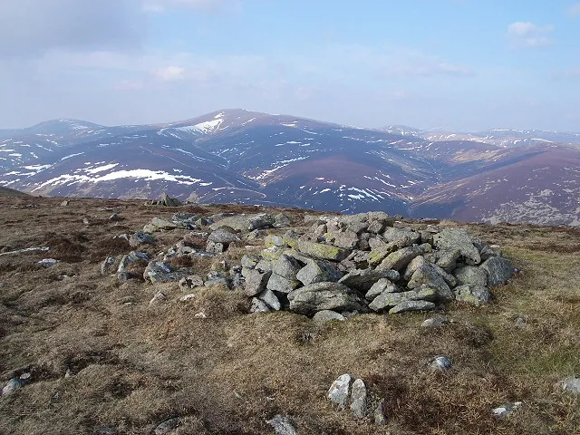
Glas Tulaichean Lis Burke · CC BY-SA 2.0 -
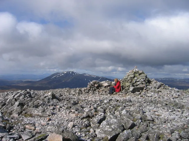
Carn an Righ Ali Ogden · CC BY-SA 2.0 -
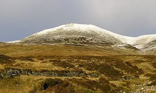
Carn a' Chlamain Grinner · CC BY-SA 3.0


Climate of Creag Dhearg
Best months for sightseeingBest months for sightseeing: July.
This month · November
A wet month
Day 5° · Night -1° · Rain 148 mm
- Hottest month
- July (day 16°)
- Coldest month
- February (night -3°)
- Wettest month
- January (184 mm)
- Driest month
- June (81 mm)
Bars: average monthly low and high temperature. Below: precipitation. Monthly averages for 1970–2000 at about 18 km resolution, adjusted for elevation. Highlighted months are mild and relatively dry. Source: WorldClim 2.1 (CC BY 4.0).
Show values as a table
| Month | Jan | Feb | Mar | Apr | May | Jun | Jul | Aug | Sep | Oct | Nov | Dec |
|---|---|---|---|---|---|---|---|---|---|---|---|---|
| Average high (°C) | 2° | 2° | 4° | 7° | 11° | 14° | 16° | 15° | 12° | 8° | 5° | 3° |
| Average low (°C) | -3° | -3° | -2° | -1° | 2° | 5° | 7° | 7° | 5° | 2° | -1° | -2° |
| Precipitation (mm) | 184 | 118 | 132 | 83 | 86 | 81 | 81 | 96 | 128 | 157 | 148 | 151 |
Other places to visit in this season: July
How to get to Creag Dhearg
The nearest airport is Dundee Airport (DND), 61 km to the southeast as the crow flies. For international flights: Aberdeen International Airport (ABZ) (96 km). The nearest large city is Dundee, 62 km to the southeast.
Airports
- Dundee Airport (DND) Dundee 61 kmsoutheast
- Inverness Airport (INV) Inverness, Highland 78 kmnorth
- Aberdeen International Airport (ABZ) Aberdeen 96 kmnortheast
Nearby large cities
- Dundee Population: 148.2K 62 kmsoutheast
- Aberdeen Population: 198.6K 99 kmeast
- Edinburgh Population: 515K 107 kmsouth
- Glasgow Population: 626.4K 119 kmsouth
- Newcastle upon Tyne Population: 300.1K 248 kmsoutheast
Straight-line distances; road distances are longer. Airport data: OurAirports.
Day trips from Creag Dhearg
Within 100 km: 115 historic and cultural sites, 3,833 natural sites, 717 lakes, rivers and coasts.
0–25 km458 places
- Tomdachoille Island Island 22 kmS
- Loch Vrotachan Lake 13 kmE
- Loch Valigan Lake 9 kmS
- Loch Tilt Lake 4 kmN
25–60 km1,651 places
- Moncreiffe Island Island 57 kmS
- Eilean an Righ Island 50 kmW
- Isle of Spar Island 39 kmSW
- Eilean nam Faoileag Island 50 kmSW
60–100 km2,556 places
- Balbithan Island Island 90 kmNE
- Findlays Seat Mountain 81 kmN
- Lossiemouth East Beach Beach 96 kmN
- Burntisland Beach Beach 95 kmS
Straight-line distances.
Nearest towns and villages
-
 Pitlochry Village, Perth and Kinross20 km S
-
Spittal of Glenshee Village, Perth and Kinross14 km SE
-
Straloch Village, Perth and Kinross15 km S
-
Inverey Village, Aberdeenshire14 km NE
-
 Bridge of Tilt Village, Perth and Kinross17 km SW
-
Muir Village, Aberdeenshire14 km NE
Nearby attractions & nature
Everything nearby-
Ruigh na Cuile Mountain, Perth and Kinross0.7 km NW
-
Meall na Spionaig Mountain, Perth and Kinross1 km E
-
Meall Reamhar Mountain, Perth and Kinross1.7 km S
-
Dun Beag Mountain, Perth and Kinross1.8 km NW
-
Meall Gharran Mountain, Perth and Kinross2.1 km SW
-
Tarf Water River, Perth and Kinross0.8 km NW
-
Carn Dallaig West Top Mountain, Perth and Kinross2.3 km SE
-
Carn an Righ Mountain, Perth and Kinross3.7 km E
More nature in United Kingdom
-
Glas Tulaichean Mountain, Perth and Kinross6.2 km E
-
Creag Cam a' Choire Mountain, Perth and Kinross3.1 km SE
-
Dun Mor Mountain, Perth and Kinross3.1 km NW
-
Meall a' Mhuirich Mountain, Perth and Kinross3.1 km SW
-
Meall na Caillich Buidhe Mountain, Perth and Kinross3.3 km N
-
Meall Chrombaig Mountain, Perth and Kinross3.5 km NE
Sources & licences
Data last updated: