Glen Eagles
Located in Perth and Kinross, Scotland Coordinates: 56°15′00″ N 3°43′00″ W
- Elevation
- 176 m
- above sea level
- Local time
- UTC+00:00
- Europe/London · UTC+00:00
About Glen Eagles
Glen Eagles is a natural site. Location: Perth and Kinross, Scotland.
Glen Eagles (Scottish Gaelic: Gleann na h-Eaglais/Gleann Eagas) is a glen that connects with Glen Devon to form a pass through the Ochil Hills of Perth and Kinross in Scotland. (The spelling as two words, 'Glen Eagles', is as shown on UK Ordnance Survey maps.) The name's origin has nothing to do with eagles, and is a corruption of eaglais or ecclesia, meaning church, and refers to the chapel and well of Saint Mungo, which was restored as a memorial to the Haldane family that owns the Gleneagles estate.
Read more on Wikipedia Text: Wikipedia contributors · CC BY-SA 4.0 · shortened
In comparison
- 50 sights and natural places within 10 km East Craigs, Wether Hill
Nearest towns and villages
-
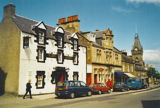 Auchterarder Town, Perth and Kinross5.2 km N
-
Blackford Village, Perth and Kinross4.3 km W
-
Muirton Neighbourhood, Perth and Kinross4.4 km N
-
Castleton Neighbourhood, Perth and Kinross5.4 km N
-
Milton Neighbourhood, Perth and Kinross5.4 km N
-
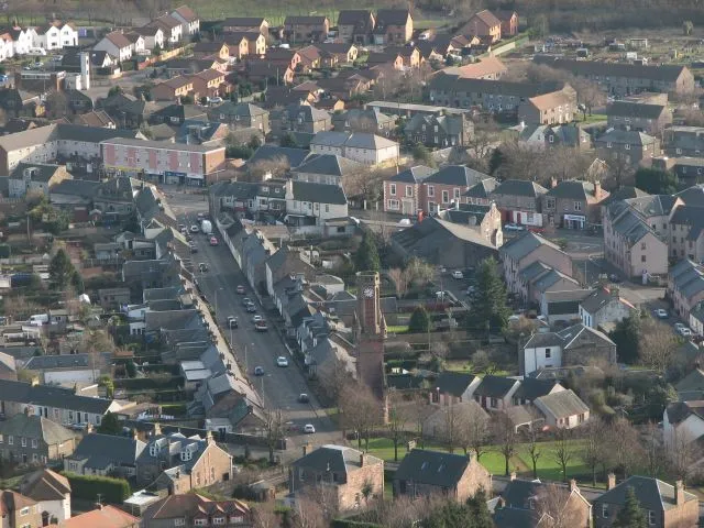 Tillicoultry Town, Clackmannanshire11 km S
Nearby attractions & nature
Everything nearby-
East Craigs Mountain, Perth and Kinross1.2 km SE
-
Wether Hill Mountain, Perth and Kinross2.4 km SW
-
Black Maller Mountain, Perth and Kinross2.8 km NE
-
Steele's Knowe Mountain, Perth and Kinross3.2 km E
-
Glen Devon Natural site, Perth and Kinross4.2 km SE
-
Craigentaggert Hill Mountain, Perth and Kinross3.7 km SW
-
Ben Shee Mountain, Perth and Kinross4.1 km SE
-
Bald Hill Mountain, Perth and Kinross4.3 km S
Sources & licences
Data last updated: · 2 independent sources