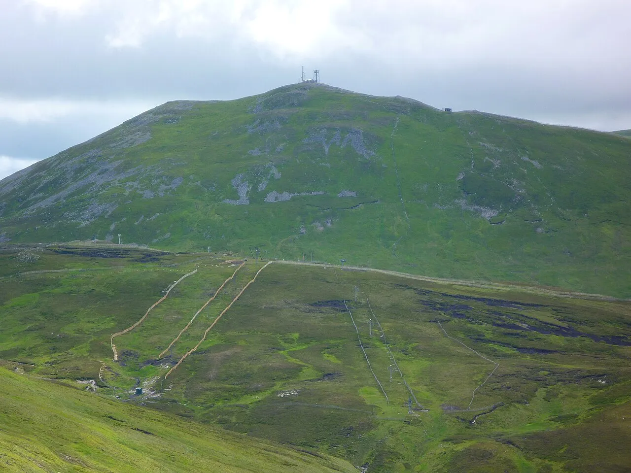
- Elevation
- 933 m
- above sea level
- Local time
- UTC+00:00
- Europe/London · UTC+00:00
- Airports
- DND Dundee Airport53 km
- ABZ Aberdeen International Airport83 km
About The Cairnwell
The Cairnwell is a mountain. Location: Perth and Kinross, Scotland. Elevation: 933 m.
The Cairnwell (Scottish Gaelic: An Càrn Bhalg) is a mountain in the Eastern Highlands of Scotland, south of Braemar. It is often considered to be one of the most spoiled of the Munros, due to the Glenshee Ski Centre which covers the eastern slope of the mountain. The Cairnwell is usually climbed from the Glen Shee ski centre, which is at an elevation of 650 m, making this probably the easiest Munro to climb. It is often climbed with Carn Aosda. The A93 crosses the shoulder of the mountain via the Cairnwell Pass.
Source: Wikipedia · CC BY-SA 4.0
At a glance
- Topographic prominence
- 125 m
Source: Wikidata
Photos of The Cairnwell
-

Stanley Howe · CC BY-SA 2.0 -

Stanley Howe · CC BY-SA 2.0 -

Ralph Greig · CC BY-SA 2.0 -
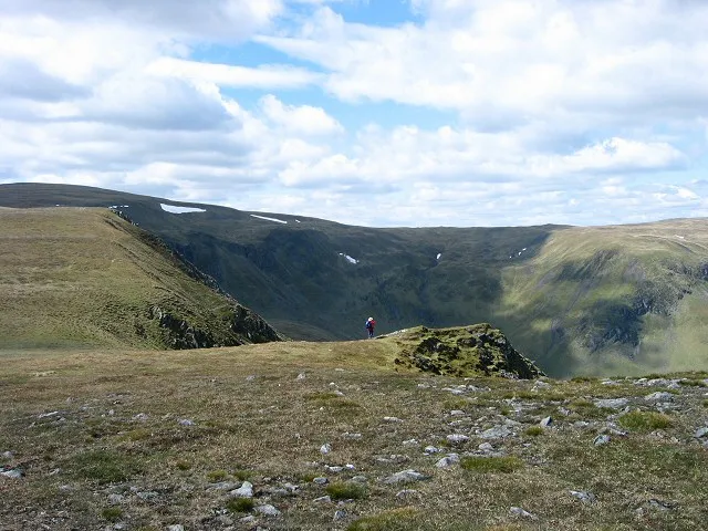
Monega Hill Rob Burke · CC BY-SA 2.0 -
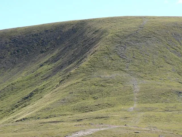
Glas Maol Rob Burke · CC BY-SA 2.0


Climate of The Cairnwell
This month · November
A wet month
Day 3° · Night -2° · Rain 141 mm
- Hottest month
- July (day 14°)
- Coldest month
- February (night -5°)
- Wettest month
- January (175 mm)
- Driest month
- June (78 mm)
Bars: average monthly low and high temperature. Below: precipitation. Monthly averages for 1970–2000 at about 18 km resolution, adjusted for elevation. Highlighted months are mild and relatively dry. Source: WorldClim 2.1 (CC BY 4.0).
Show values as a table
| Month | Jan | Feb | Mar | Apr | May | Jun | Jul | Aug | Sep | Oct | Nov | Dec |
|---|---|---|---|---|---|---|---|---|---|---|---|---|
| Average high (°C) | 1° | 1° | 2° | 5° | 9° | 12° | 14° | 13° | 10° | 7° | 3° | 1° |
| Average low (°C) | -5° | -5° | -4° | -2° | 0° | 3° | 6° | 5° | 3° | 1° | -2° | -4° |
| Precipitation (mm) | 175 | 113 | 125 | 82 | 83 | 78 | 78 | 92 | 122 | 152 | 141 | 143 |
How to get to The Cairnwell
The nearest airport is Dundee Airport (DND), 53 km to the southeast as the crow flies. For international flights: Aberdeen International Airport (ABZ) (83 km). The nearest large city is Dundee, 53 km to the southeast.
Airports
- Dundee Airport (DND) Dundee 53 kmsoutheast
- Aberdeen International Airport (ABZ) Aberdeen 83 kmnortheast
- Inverness Airport (INV) Inverness, Highland 83 kmnorthwest
Nearby large cities
- Dundee Population: 148.2K 53 kmsoutheast
- Aberdeen Population: 198.6K 86 kmeast
- Edinburgh Population: 515K 104 kmsouth
- Glasgow Population: 626.4K 124 kmsouthwest
- Newcastle upon Tyne Population: 300.1K 240 kmsoutheast
Straight-line distances; road distances are longer. Airport data: OurAirports.
Day trips from The Cairnwell
Within 100 km: 120 historic and cultural sites, 3,423 natural sites, 649 lakes, rivers and coasts.
0–25 km477 places
- Loch Wharral Lake 23 kmE
- Loch Vrotachan Lake 2 kmNW
- Loch Valigan Lake 18 kmSW
- Loch Tilt Lake 15 kmW
25–60 km1,428 places
- Mugdrum Island Island 60 kmS
- Moncreiffe Island Island 55 kmS
- Isle of Spar Island 48 kmSW
- Eilean nan Ubh Island 46 kmSW
60–100 km2,287 places
- Balbithan Island Island 77 kmNE
- Findlays Seat Mountain 78 kmN
- Lossiemouth East Beach Beach 94 kmN
- Sunnyside Beach Beach 99 kmNE
Straight-line distances.
Nearest towns and villages
-
Spittal of Glenshee Village, Perth and Kinross8 km S
-
Glenshee Village Village, Perth and Kinross9 km S
-
Newbigging Village, Aberdeenshire8 km N
-
Finegand Village, Perth and Kinross11 km S
-
Inverey Village, Aberdeenshire11 km NW
-
Corriemulzie Village, Aberdeenshire12 km N
Nearby attractions & nature
Everything nearby-
The Cairnwell North Top Mountain, Aberdeenshire0.7 km NW
-
Creag a' Choire Dhirich Mountain, Perth and Kinross1.2 km W
-
Carn nan Sac Mountain, Perth and Kinross1.6 km W
-
Carn Aosda Mountain, Aberdeenshire1.8 km N
-
Glas Maol Mountain, Angus3.3 km E
-
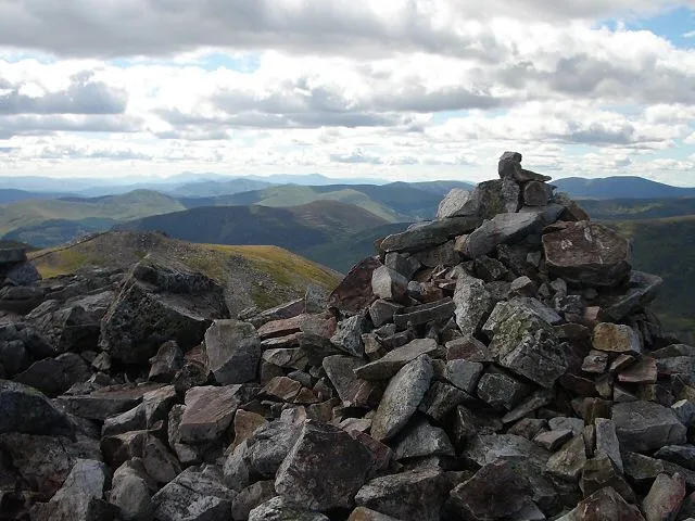 Creag Leacach Mountain, Perth and Kinross3.4 km SE
-
Meall Odhar Mountain, Aberdeenshire2.1 km E
-
Loch Vrotachan Lake, Aberdeenshire1.7 km NW
More nature in United Kingdom
-
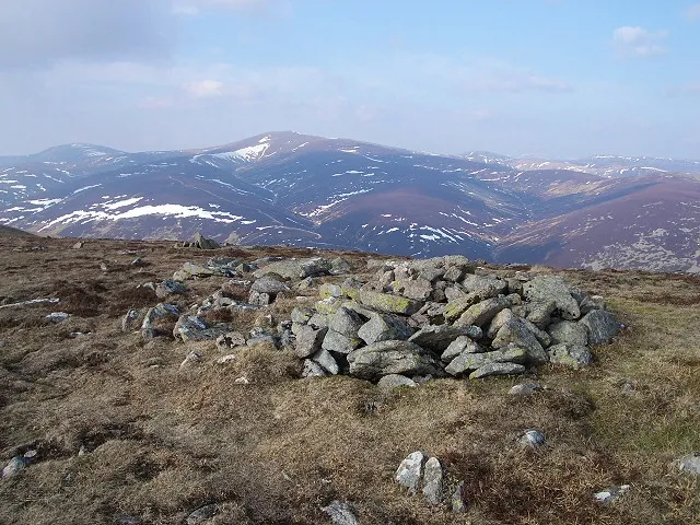 Glas Tulaichean Mountain, Perth and Kinross8.5 km W
-
Meall Gorm Mountain, Perth and Kinross2.7 km S
-
Carn Mor Mountain, Perth and Kinross3.4 km SW
-
Creag Leacach SW Top Mountain, Perth and Kinross3.5 km SE
-
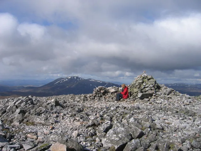 Carn an Righ Mountain, Perth and Kinross11 km W
-
Carn Bhinnein Mountain, Perth and Kinross4.4 km W
Sources & licences
Data last updated: · 2 independent sources