Glas Maol
Located in Angus, Scotland Coordinates: 56°52′23″ N 3°22′06″ W
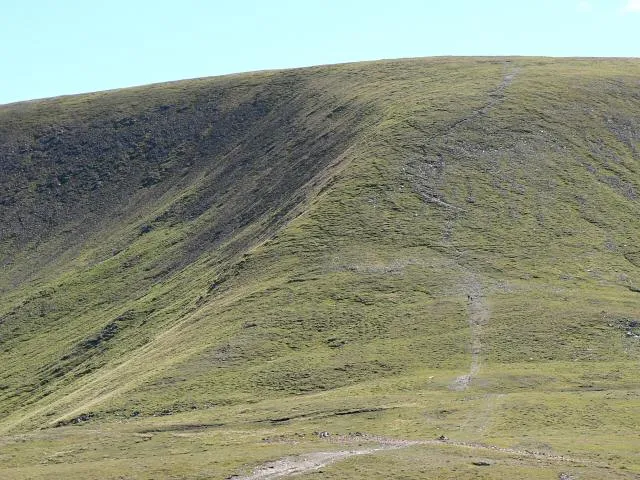
- Elevation
- 1,068 m
- above sea level
- Local time
- UTC+00:00
- Europe/London · UTC+00:00
About Glas Maol
Glas Maol is a mountain. Location: Angus, Scotland. Elevation: 1,068 m.
Glas Maol (Scottish Gaelic: A' Ghlas-Mheall) is a mountain in the Mounth, in the southeastern part of the Highlands of Scotland. The broad, flat summit is divided between the council area of Aberdeenshire, Angus and Perth and Kinross, though the highest point lies wholly within Angus; indeed Glas Maol is the highest point in that council area. Glas Maol is both a Munro and a Marilyn. The western slopes of Glas Maol form part of the Glenshee Ski Centre ski area.
Read more on Wikipedia Text: Wikipedia contributors · CC BY-SA 4.0 · shortened
At a glance
- Topographic prominence
- 194 m
Source: Wikidata
In comparison
- No. 133 of 18223 mountains in United Kingdom by elevation
- 100 sights and natural places within 10 km Caenlochan Forest, Little Glas Maol
Nearest towns and villages
-
Spittal of Glenshee Village, Perth and Kinross9 km SW
-
Newbigging Village, Aberdeenshire9.1 km N
-
Glenshee Village Village, Perth and Kinross9.1 km SW
-
Little Forter Village, Angus11 km S
-
Forter Village, Angus12 km S
-
Meikle Forter Village, Angus12 km S
Nearby attractions & nature
Everything nearby-
Caenlochan Forest Natural site, Angus0.9 km E
-
Little Glas Maol Mountain, Angus1.1 km SE
-
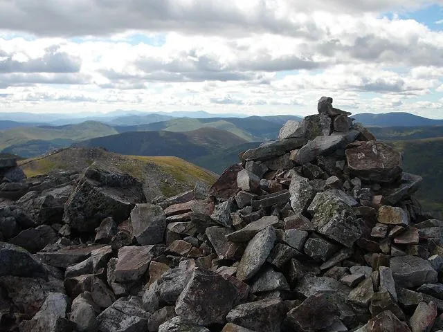 Creag Leacach Mountain, Perth and Kinross2.4 km SW
-
Meall Odhar Mountain, Aberdeenshire1.4 km NW
-
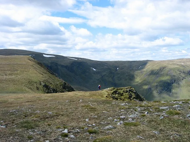 Monega Hill Mountain, Angus2.2 km SE
-
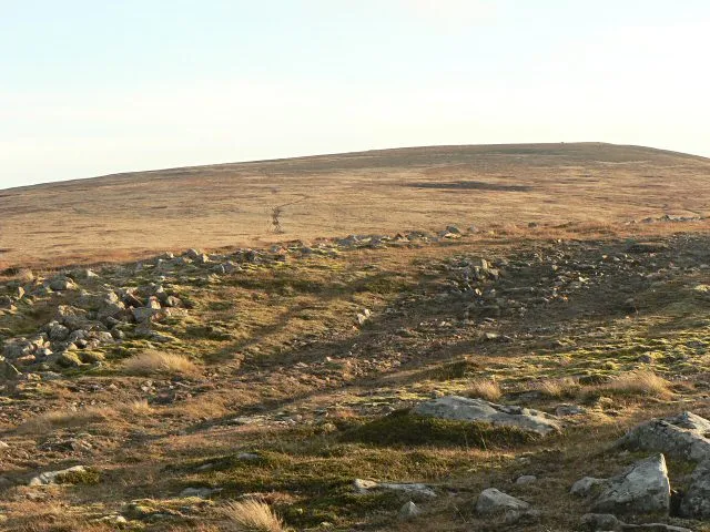 Cairn of Claise Mountain, Angus2.9 km NE
-
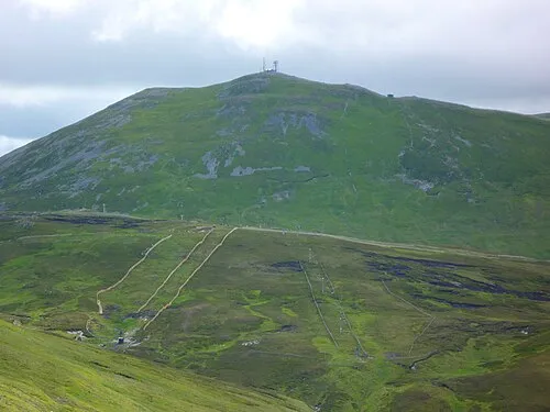 The Cairnwell Mountain, Perth and Kinross3.3 km W
-
Druim Mor Mountain, Angus2.4 km E
More nature in United Kingdom
-
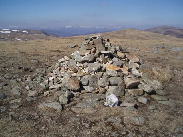 Tom Buidhe Mountain, Angus5.1 km NE
-
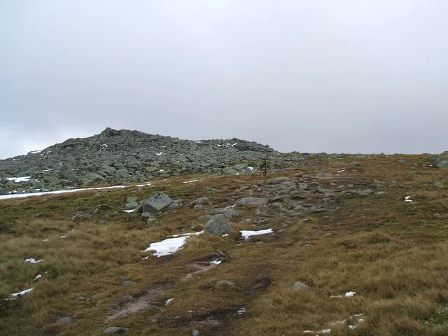 Cairn Bannoch Mountain, Angus8.2 km NE
-
Glen Brighty Natural site, Angus3.9 km S
-
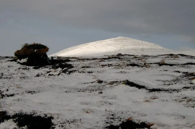 Broad Cairn Mountain, Angus8.9 km NE
-
Caenlochan Glen Natural site, Angus2.4 km E
-
Mallrenheskein Mountain, Angus3.9 km S
Sources & licences
Data last updated: · 2 independent sources