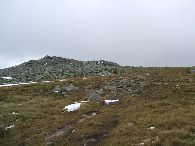
Cairn Bannoch
Located in Angus, Scotland Coordinates: 56°55′40″ N 3°16′45″ W
- Elevation
- 1,012 m
- above sea level
- Local time
- UTC+00:00
- Europe/London · UTC+00:00
About Cairn Bannoch
Cairn Bannoch is a mountain. Location: Angus, Scotland. Elevation: 1,012 m.
Cairn Bannoch (Scottish Gaelic: Càrn a' Bheannaich) is a mountain in the White Mounth, a mountainous plateau in the Scottish Highlands. It is about seventeen miles south of the River Dee near Balmoral.
Read more on Wikipedia Text: Wikipedia contributors · CC BY-SA 4.0 · shortened
At a glance
- Topographic prominence
- 77 m
Source: Wikidata
In comparison
- No. 231 of 18223 mountains in United Kingdom by elevation
- 98 sights and natural places within 10 km Cairn of Gowal, Fafernie
Airports nearest to Cairn Bannoch
- Dundee Airport (DND) Dundee 55 km
- Aberdeen International Airport (ABZ) Aberdeen 72 km
- Inverness Airport (INV) Inverness, Highland 83 km
Straight-line distance; airports with scheduled flights only. Source: OurAirports (public domain).
Nearest towns and villages
-
Newbigging Village, Aberdeenshire8.4 km W
-
Spittal of Glenmuick Village, Aberdeenshire8.9 km E
-
Invergelder Village, Aberdeenshire9.9 km N
-
Inver Village, Aberdeenshire10 km N
-
Braemar Village, Aberdeenshire11 km NW
-
Ballater Village, Aberdeenshire20 km NE
Nearby attractions & nature
Everything nearby-
Cairn of Gowal Mountain, Angus0.6 km SE
-
Fafernie Mountain, Angus0.8 km W
-
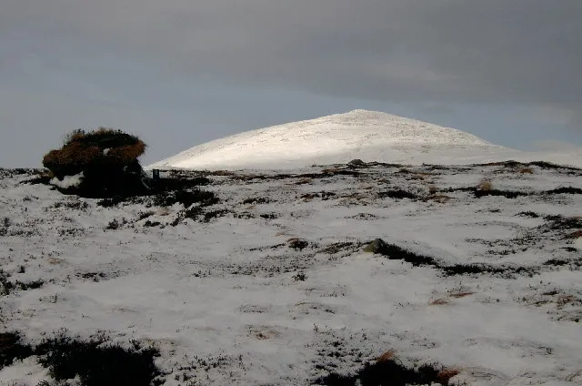 Broad Cairn Mountain, Angus2.1 km SE
-
Cairn of Gowal South Top Mountain, Angus1 km SE
-
Creag an Dubh-loch Mountain, Aberdeenshire1.1 km E
-
Creag Leachdach Mountain, Aberdeenshire1.5 km SW
-
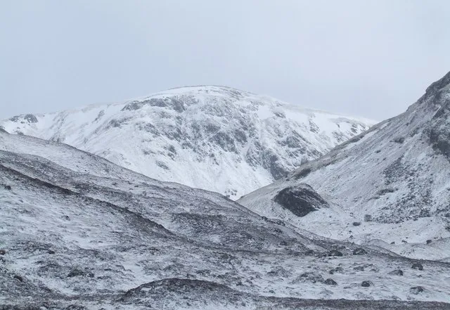 Tolmount Mountain, Aberdeenshire2.8 km SW
-
Craig of Gowal Mountain, Angus1.9 km SE
More nature in United Kingdom
-
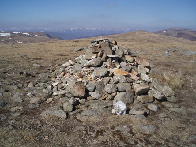 Tom Buidhe Mountain, Angus3.9 km S
-
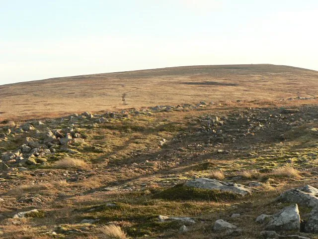 Cairn of Claise Mountain, Angus5.2 km SW
-
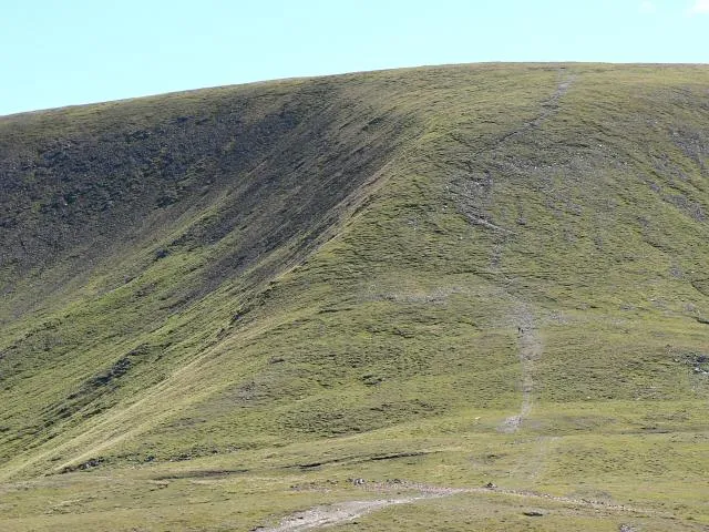 Glas Maol Mountain, Angus8.2 km SW
-
Crow Craigies Mountain, Angus2.7 km S
-
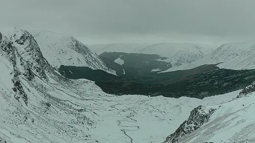 Glen Doll Natural site, Angus7.8 km SE
-
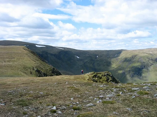 Monega Hill Mountain, Angus7.8 km SW
Sources & licences
Data last updated: · 2 independent sources