Piltanton Burn
Located in Scotland, United Kingdom Coordinates: 54°52′00″ N 4°51′00″ W
- Elevation
- 3 m
- above sea level
- Local time
- UTC+00:00
- Europe/London · UTC+00:00
About Piltanton Burn
Piltanton Burn is a river. Location: Scotland, United Kingdom.
In comparison
- 31 sights and natural places within 10 km Challoch Hill, Camrie Burn
Nearest towns and villages
-
Glenluce Village, Dumfries and Galloway2.9 km NE
-
Dunragit Village, Dumfries and Galloway2.7 km NW
-
Stairhaven Village, Dumfries and Galloway4.5 km SE
-
Camrie Village, Dumfries and Galloway4.9 km NE
-
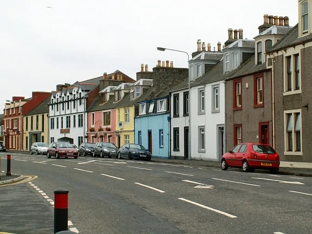 Stranraer Town, Dumfries and Galloway12 km W
-
Auchmantle Village, Dumfries and Galloway6 km N
Nearby attractions & nature
Everything nearby-
Challoch Hill Mountain, Dumfries and Galloway1.9 km NW
-
Camrie Burn River, Scotland2.1 km NE
-
Barlockhart Fell Mountain, Dumfries and Galloway3.4 km E
-
Water of Luce River, Scotland2.1 km SE
-
Glenluce Abbey Historic site, Dumfries and Galloway2.1 km NE
-
Craig Fell Mountain, Dumfries and Galloway5 km N
-
Glenluce Abbey c. 1191-1602 Historic site, Dumfries and Galloway2.8 km NE
-
Cruise Back Fell Mountain, Dumfries and Galloway6.1 km N
Sources & licences
Data last updated: