- Local time
- UTC+00:00
- Europe/London · UTC+00:00
- Airports
- LSI Sumburgh Airport91 km
- EOI Eday Airport197 km
About Haaf Gruney Island
Haaf Gruney Island is an island. Location: Shetland Islands, Scotland. The nearest airport is Sumburgh Airport (91 km). Nearby sights include Ness of Ramnageo and Hunts Holm.
Photos of Haaf Gruney Island
-
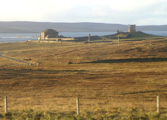
Fetlar Island Mike Pennington · CC BY-SA 2.0 -
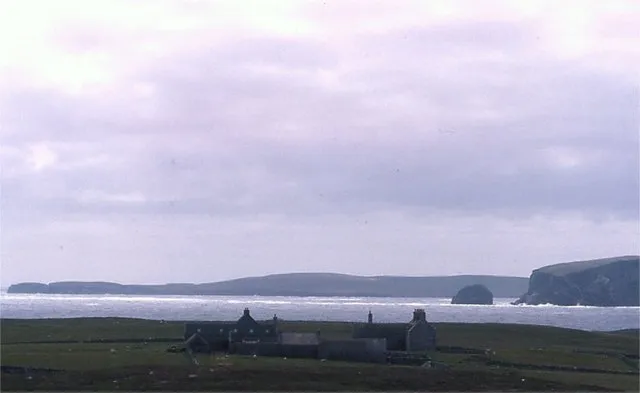
Uyea Mike Pennington · CC BY-SA 2.0 -
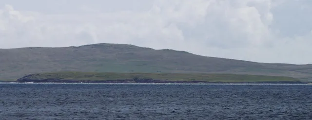
Urie Lingey See above · CC BY-SA 2.0 -
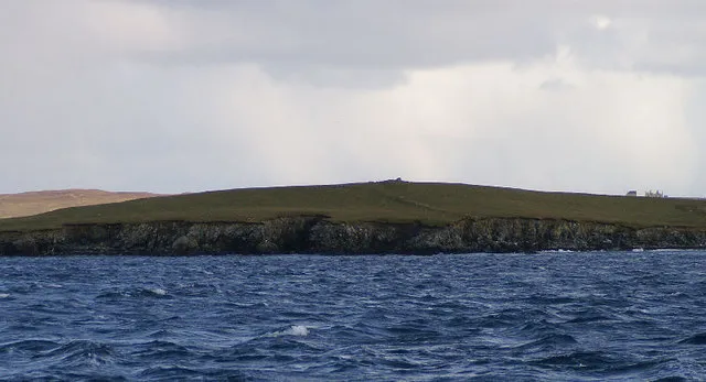
Sound Gruney Mike Pennington · CC BY-SA 2.0 -
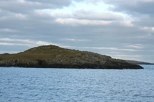
Daaey john bateson · CC BY-SA 2.0


Climate of Haaf Gruney Island
This month · November
A wet month
Day 8° · Night 5° · Rain 154 mm
- Hottest month
- August (day 15°)
- Coldest month
- February (night 2°)
- Wettest month
- November (154 mm)
- Driest month
- May (49 mm)
Bars: average monthly low and high temperature. Below: precipitation. Monthly averages for 1970–2000 at about 18 km resolution, adjusted for elevation. Highlighted months are mild and relatively dry. Source: WorldClim 2.1 (CC BY 4.0).
Show values as a table
| Month | Jan | Feb | Mar | Apr | May | Jun | Jul | Aug | Sep | Oct | Nov | Dec |
|---|---|---|---|---|---|---|---|---|---|---|---|---|
| Average high (°C) | 6° | 6° | 7° | 8° | 11° | 13° | 14° | 15° | 13° | 10° | 8° | 7° |
| Average low (°C) | 3° | 2° | 3° | 4° | 6° | 8° | 10° | 11° | 9° | 7° | 5° | 3° |
| Precipitation (mm) | 142 | 96 | 126 | 73 | 49 | 55 | 59 | 80 | 117 | 135 | 154 | 145 |
How to get to Haaf Gruney Island
The nearest airport is Sumburgh Airport (LSI), 91 km to the south as the crow flies. The nearest large city is Bergen, 339 km to the east.
Airports
- Sumburgh Airport (LSI) Lerwick, Shetland 91 kmsouth
- Eday Airport (EOI) Eday 197 kmsouthwest
- Kirkwall Airport (KOI) Kirkwall, Orkney Islands 223 kmsouthwest
Nearby large cities
- Bergen Population: 294K 339 kmeast
- Aberdeen Population: 198.6K 399 kmsouth
Straight-line distances; road distances are longer. Airport data: OurAirports.
Day trips from Haaf Gruney Island
Within 100 km: 11 historic and cultural sites, 584 natural sites, 259 lakes, rivers and coasts.
0–25 km175 places
- Unst Island 10 kmN
- Fetlar Island Island 6 kmS
- The Vere Island 11 kmNW
- The Vere Island 4 kmN
25–60 km431 places
- Shetland Islands Island 44 kmSW
- Whalsay Island 38 kmS
- Brother Isle Island 28 kmSW
- Hoove Holm Island 59 kmSW
60–100 km248 places
- Trondra Island 66 kmS
- Green Holm Island 65 kmSW
- Easter Heog Island 70 kmS
- Holm of Setter Island 60 kmSW
Straight-line distances.
Nearest towns and villages
Nearby attractions & nature
Everything nearby-
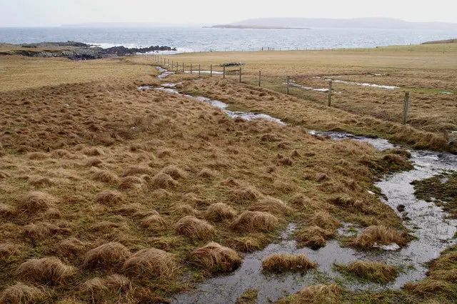 Ness of Ramnageo Natural site, Shetland Islands2.1 km NW
-
Hunts Holm Island, Shetland Islands1.9 km N
-
Mu Ness Natural site, Shetland Islands1.9 km N
-
Tur Ness Natural site, Shetland Islands2.7 km W
-
Uyea Island, Shetland Islands3.6 km W
-
The Hog Island, Shetland Islands2.7 km SW
-
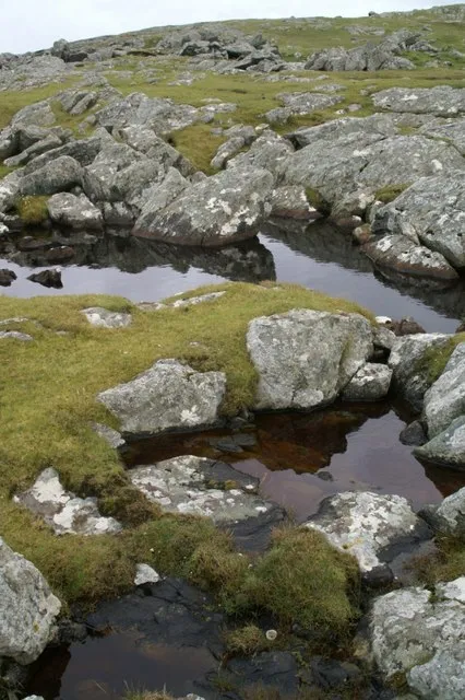 Ham Ness Natural site, Shetland Islands3.7 km N
-
Tressa Ness Natural site, Shetland Islands4.1 km SW
More lakes, rivers and coasts in United Kingdom
-
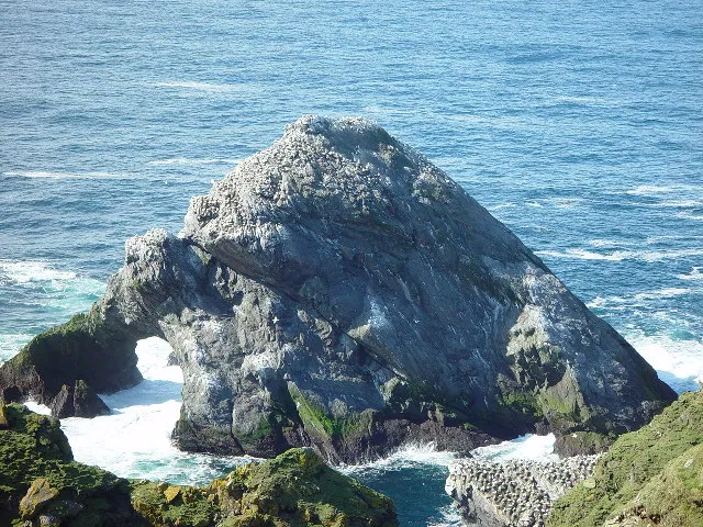 Unst Island, Shetland Islands9.7 km N
-
Fetlar Island Island, Shetland Islands5.9 km S
-
Sound Gruney Island, Shetland Islands5.8 km W
-
Urie Lingey Island, Shetland Islands5.9 km SW
-
Holm of Tressaness Island, Shetland Islands4.1 km SW
-
Il Holm Island, Shetland Islands3.8 km S
Sources & licences
Data last updated: