- Local time
- UTC+00:00
- Europe/London · UTC+00:00
- Airports
- LSI Sumburgh Airport65 km
- EOI Eday Airport171 km
About Lunna Holm
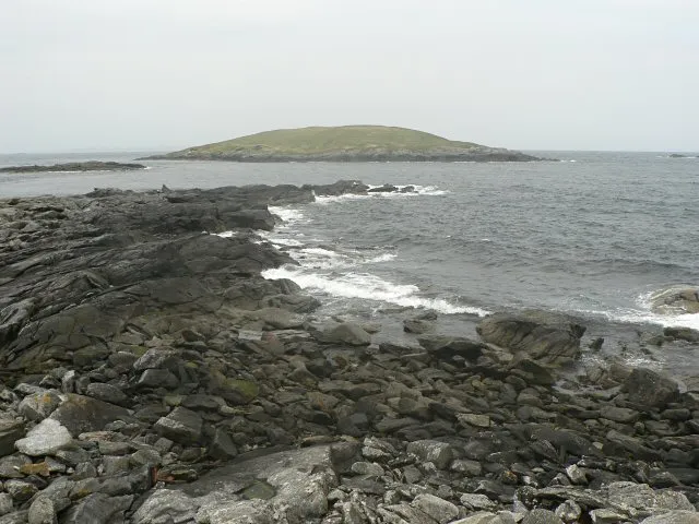
Lunna Holm is an island. Location: Shetland Islands, Scotland.
Lunna Holm is a small island near Lunna Ness (Mainland, Shetland), in the Shetland Islands. It is 27 metres (89 ft) at its highest point.
Source: Wikipedia · CC BY-SA 4.0
Photos of Lunna Holm
-

Mike Pennington · CC BY-SA 2.0 -
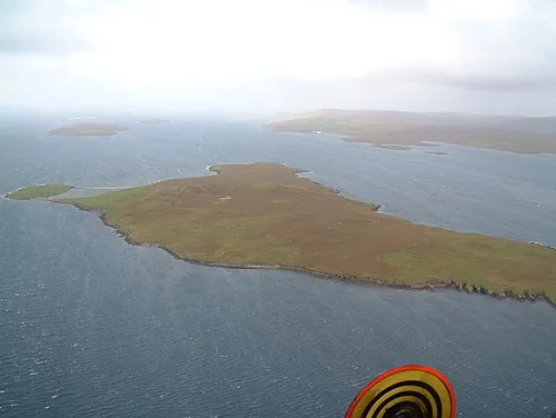
Samphrey Richard Griffiths · CC BY-SA 3.0 -
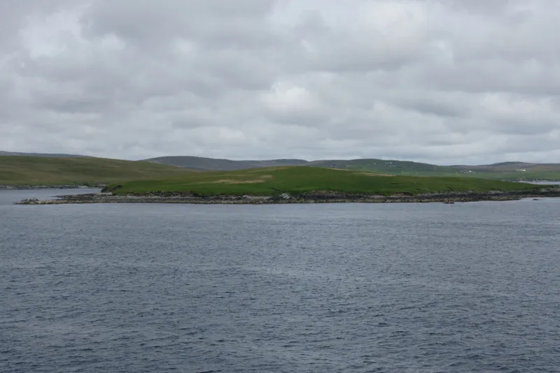
Orfasay Mike Pennington · CC BY-SA 2.0 -
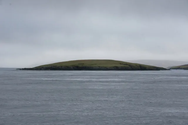
Fish Holm Mike Pennington · CC BY-SA 2.0 -
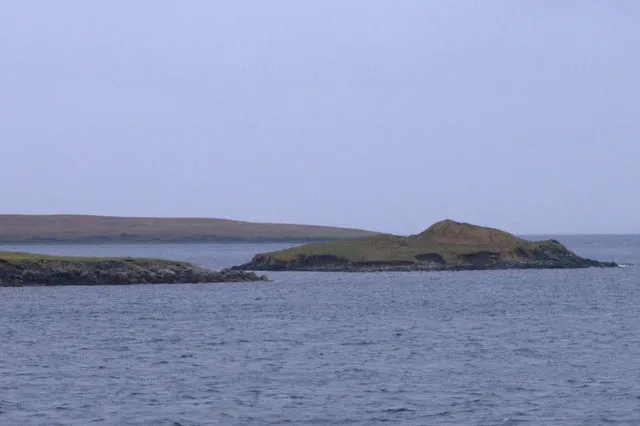
Holm of Copister Mike Pennington · CC BY-SA 2.0


Climate of Lunna Holm
This month · November
A wet month
Day 8° · Night 5° · Rain 149 mm
- Hottest month
- August (day 14°)
- Coldest month
- February (night 2°)
- Wettest month
- November (149 mm)
- Driest month
- May (51 mm)
Bars: average monthly low and high temperature. Below: precipitation. Monthly averages for 1970–2000 at about 18 km resolution, adjusted for elevation. Highlighted months are mild and relatively dry. Source: WorldClim 2.1 (CC BY 4.0).
Show values as a table
| Month | Jan | Feb | Mar | Apr | May | Jun | Jul | Aug | Sep | Oct | Nov | Dec |
|---|---|---|---|---|---|---|---|---|---|---|---|---|
| Average high (°C) | 7° | 6° | 7° | 8° | 10° | 12° | 14° | 14° | 13° | 11° | 8° | 7° |
| Average low (°C) | 3° | 2° | 3° | 4° | 6° | 8° | 10° | 10° | 9° | 7° | 5° | 3° |
| Precipitation (mm) | 134 | 101 | 120 | 72 | 51 | 58 | 57 | 77 | 114 | 130 | 149 | 142 |
How to get to Lunna Holm
The nearest airport is Sumburgh Airport (LSI), 65 km to the south as the crow flies. The nearest large city is Bergen, 350 km to the east.
Airports
- Sumburgh Airport (LSI) Lerwick, Shetland 65 kmsouth
- Eday Airport (EOI) Eday 171 kmsouthwest
- Kirkwall Airport (KOI) Kirkwall, Orkney Islands 197 kmsouthwest
Nearby large cities
- Bergen Population: 294K 350 kmeast
- Aberdeen Population: 198.6K 373 kmsouth
Straight-line distances; road distances are longer. Airport data: OurAirports.
Day trips from Lunna Holm
Within 100 km: 11 historic and cultural sites, 584 natural sites, 259 lakes, rivers and coasts.
0–25 km329 places
- Shetland Islands Island 18 kmSW
- Whalsay Island 13 kmS
- Fetlar Island Island 21 kmNE
- Muckle Roe Island Island 24 kmSW
25–60 km478 places
- Unst Island 34 kmN
- Trondra Island 40 kmS
- Sweyn Holm Island 57 kmS
- West Burra Island Island 45 kmSW
60–100 km47 places
- Lady’s Holm Island 67 kmS
- Little Holm Island 67 kmS
- Stack o' da Noup Mountain 61 kmS
- Little Hallitie Mountain 65 kmS
Straight-line distances.
Nearest towns and villages
-
Hamnavoe Village, Shetland Islands4.6 km SW
-
Brough Neighbourhood, Shetland Islands5.2 km N
-
Upper Neapaback Neighbourhood, Shetland Islands5.8 km N
-
Burravoe Village, Shetland Islands5.6 km N
-
Littlester Village, Shetland Islands6 km N
-
Houlland Village, Shetland Islands6.1 km NW
Nearby attractions & nature
Everything nearby-
Ward of Outrabister Mountain, Shetland Islands2.5 km SW
-
Lunna Ness Natural site, Shetland Islands2.6 km SW
-
Hamnavoe Field Mountain, Shetland Islands4.2 km SW
-
Orfasay Island, Shetland Islands5.2 km NW
-
Fish Holm Island, Shetland Islands5.5 km W
-
Green Holm Island, Shetland Islands4.1 km NW
-
Ness of Setter Natural site, Shetland Islands4.9 km W
-
Ness of Copister Natural site, Shetland Islands5.2 km NW
More lakes, rivers and coasts in United Kingdom
-
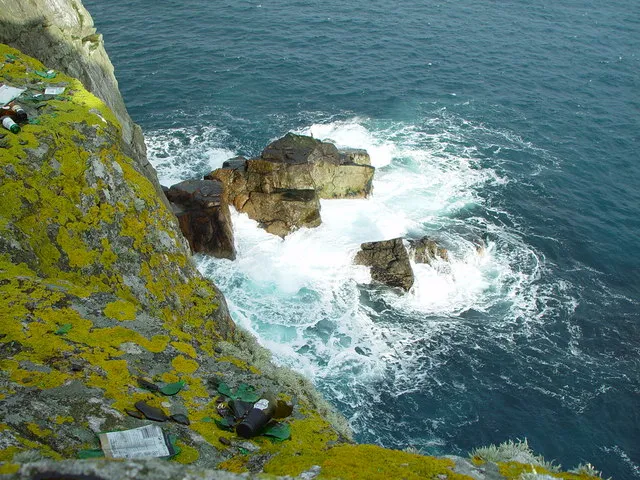 Whalsay Island, Shetland Islands13 km S
-
Samphrey Island, Shetland Islands6.7 km W
-
Little Linga Island, Shetland Islands9.3 km S
-
Linga Island Island, Shetland Islands6.4 km W
-
Wether Holm Island, Shetland Islands6.7 km W
-
Hunder Holm Island, Shetland Islands11 km S
Sources & licences
Data last updated: · 2 independent sources