Ben Ledi
Located in Stirling, Scotland Coordinates: 56°15′31″ N 4°19′21″ W
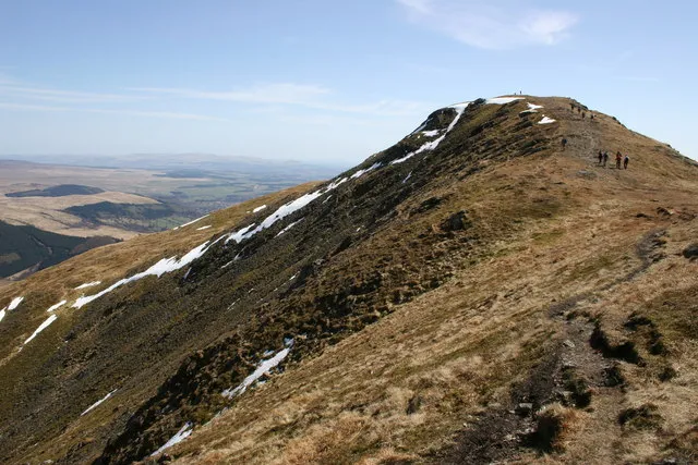
- Elevation
- 879 m
- above sea level
- Local time
- UTC+00:00
- Europe/London · UTC+00:00
About Ben Ledi
Ben Ledi is a mountain. Location: Stirling, Scotland. Elevation: 879 m.
Ben Ledi (Beinn Leitir in Scottish Gaelic) is a mountain in Stirling, Scotland. It is 878.6 metres (2,883 feet) high, and is therefore classified as a Corbett. It lies about six kilometres (four miles) northwest of Callander, near the village of Kilmahog. It is situated in the Trossachs, an area often regarded as having some of the most romantic scenery in the Highlands.
Read more on Wikipedia Text: Wikipedia contributors · CC BY-SA 4.0 · shortened
At a glance
- Topographic prominence
- 528 m
Source: Wikidata
In comparison
- No. 800 of 18223 mountains in United Kingdom by elevation
- 76 sights and natural places within 10 km Stuc Odhar, Bioran na Circe
Nearest towns and villages
Nearby attractions & nature
Everything nearby-
Stuc Odhar Mountain, Stirling1.5 km SW
-
Bioran na Circe Mountain, Stirling2 km N
-
Creag na h-Airighe Mountain, Stirling2.3 km N
-
Am Fireach Mountain, Stirling2.7 km N
-
Ardnandave Hill Mountain, Stirling2.8 km N
-
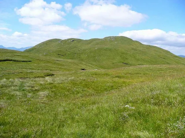 Benvane Mountain, Stirling4.8 km NW
-
Meall Garbh Mountain, Stirling3.3 km E
-
Meall Biorach Mountain, Stirling3.9 km E
More nature in United Kingdom
-
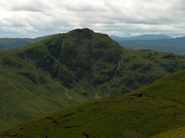 Beinn Each Mountain, Stirling7.2 km NE
-
Tom nan Gaothairean Mountain, Stirling4 km SW
-
Tom Earraich Mountain, Stirling4.1 km SW
-
Druim Ardoch West Top Mountain, Stirling4.1 km NE
-
Creag Bheithe Mountain, Stirling4.8 km E
-
Sron Armailte Mountain, Stirling4.8 km SW
Sources & licences
Data last updated: · 2 independent sources