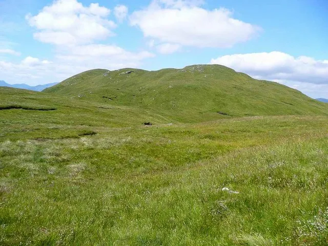
Benvane
Located in Stirling, Scotland Coordinates: 56°17′36″ N 4°22′06″ W
- Elevation
- 821 m
- above sea level
- Local time
- UTC+00:00
- Europe/London · UTC+00:00
About Benvane
Benvane is a mountain. Location: Stirling, Scotland. Elevation: 821 m.
Benvane (Scottish Gaelic: Beinn Bhàn) is a mountain in the Trossachs, in Stirling council area, Scotland. It lies within Loch Lomond and The Trossachs National Park and the Queen Elizabeth Forest Park, and the summit is on the western boundary of the Trossachs National Nature Reserve. It is 821 metres (2,694 ft) high, and is classified as a Corbett, being joined by a ridge to the neighbouring Corbett of Ben Ledi. Benvane may be climbed by several routes, which can be combined to make for a circular route.
Read more on Wikipedia Text: Wikipedia contributors · CC BY-SA 4.0 · shortened
At a glance
- Topographic prominence
- 215 m
Source: Wikidata
In comparison
- No. 1130 of 18223 mountains in United Kingdom by elevation
- 78 sights and natural places within 10 km Carn Mor, Mullach an t-Samhraidh
Nearest towns and villages
-
Strathyre Village, Stirling4.3 km NE
-
Callander Village, Stirling11 km SE
-
Brig o' Turk Village, Stirling7 km S
-
Balquhidder Village, Stirling7.1 km N
-
Auchtoo Village, Stirling7.1 km NE
-
Kingshouse Village, Stirling7.3 km N
Nearby attractions & nature
Everything nearby-
Carn Mor Mountain, Stirling2.4 km NW
-
Mullach an t-Samhraidh Mountain, Stirling2.6 km NW
-
Meall Cala Mountain, Stirling2.9 km W
-
Am Fireach Mountain, Stirling2.9 km SE
-
Bioran na Circe Mountain, Stirling3 km SE
-
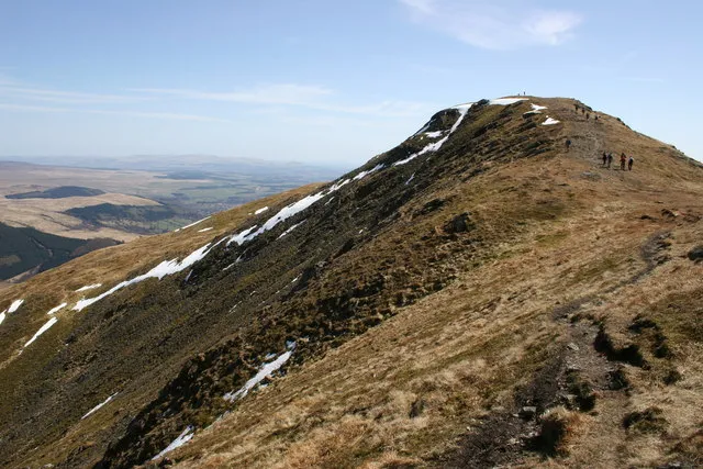 Ben Ledi Mountain, Stirling4.8 km SE
-
Gleann Dubh Natural site, Stirling3.1 km W
-
Ardnandave Hill Mountain, Stirling3.4 km E
More nature in United Kingdom
-
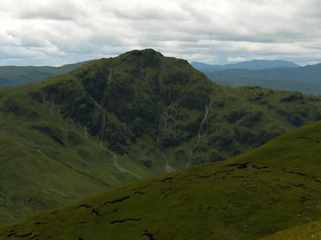 Beinn Each Mountain, Stirling7 km E
-
An Sidhean Mountain, Stirling3.7 km N
-
Creag na h-Airighe Mountain, Stirling3.9 km SE
-
Beinn an t-Sidhein Mountain, Stirling4.3 km N
-
Glen Finglas Natural site, Stirling4.2 km SW
-
Meall Gainmheich Mountain, Stirling4.9 km SW
Sources & licences
Data last updated: · 2 independent sources