Dumyat
Located in Stirling, Scotland Coordinates: 56°09′27″ N 3°52′36″ W
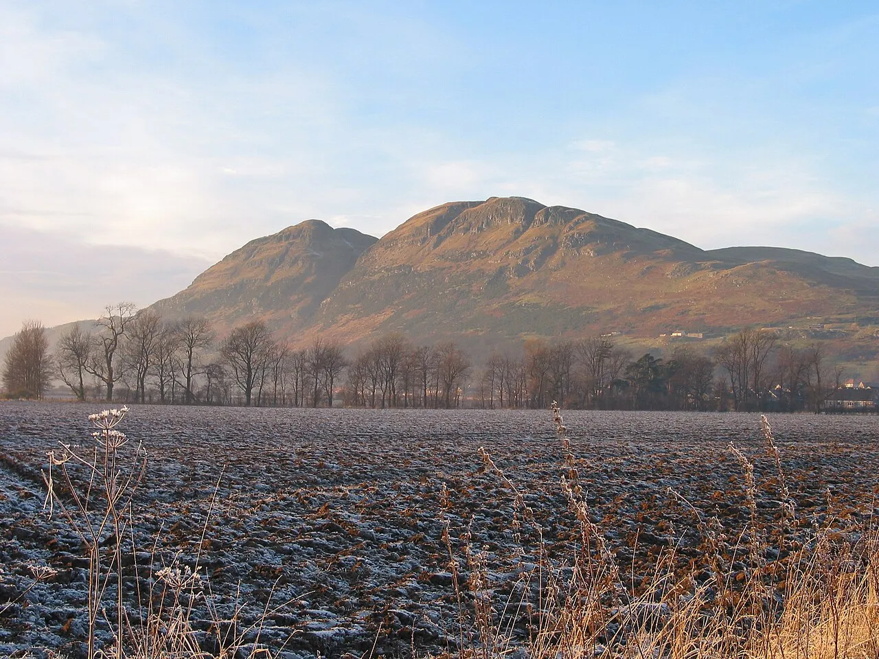
- Elevation
- 418 m
- above sea level
- Local time
- UTC+00:00
- Europe/London · UTC+00:00
About Dumyat
Dumyat is a mountain. Location: Stirling, Scotland. Elevation: 418 m.
Dumyat or Dunmyat (Scottish Gaelic: Dùn Mhèad) is a hill at the western extremity of the Ochil Hills in central Scotland. The name is thought to originate from Dun (hill fort) of the Maeatae. Although relatively small (its height is 418 metres), the characteristic shape of the hill forms an important part of the distinctive scenery of the Stirling area, and it is often depicted (particularly in postcards and calendars) in combination with the nearby Abbey Craig.
Read more on Wikipedia Text: Wikipedia contributors · CC BY-SA 4.0 · shortened
At a glance
- Topographic prominence
- 190 m
Source: Wikidata
In comparison
- No. 6795 of 18223 mountains in United Kingdom by elevation
- 42 sights and natural places within 10 km Myreton Hill, Brown Hill
Nearest towns and villages
-
Menstrie Village, Clackmannanshire1.5 km SE
-
 Tullibody Town, Clackmannanshire3.6 km SE
-
 Bridge of Allan Town, Stirling4.3 km W
-
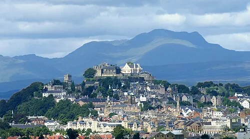 Stirling City, Stirling5.7 km SW
-
Blairlogie Village, Stirling1.1 km SW
-
Alva Village, Clackmannanshire4.5 km E
Nearby attractions & nature
Everything nearby-
Myreton Hill Mountain, Clackmannanshire2.4 km E
-
Brown Hill Mountain, Stirling2.5 km N
-
Black Hill Mountain, Stirling2.7 km W
-
Stone Hill Mountain, Stirling2.9 km NW
-
Colsnaur Hill Mountain, Clackmannanshire3.1 km NE
-
Abbey Craig Mountain, Stirling3.3 km SW
-
Big Hunt Hill Mountain, Stirling3.9 km N
-
Craig Leith Mountain, Clackmannanshire3.9 km E
Sources & licences
Data last updated: · 2 independent sources