Dunblane
Located in Stirling, Scotland Coordinates: 56°11′18″ N 3°57′51″ W
- Population
- 9,310
- 9.3K
- Elevation
- 64 m
- above sea level
- Local time
- UTC+00:00
- Europe/London · UTC+00:00
About Dunblane
Dunblane is a town. Location: Stirling, Scotland. Population: 9,310. Elevation: 64 m.
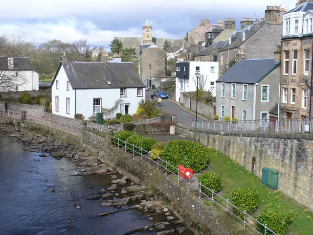
Dunblane (, Scottish Gaelic: Dùn Bhlàthain) is a historic cathedral town in the council area of Stirling, in central Scotland; it is inside the historic boundaries of the county of Perthshire. It is a commuter town, with many residents making use of good transport links to much of the Central Belt, including Glasgow and Edinburgh. The town is built on the banks of the Allan Water (or River Allan), a tributary of the River Forth. Dunblane Cathedral is its most prominent landmark.
Read more on Wikipedia Text: Wikipedia contributors · CC BY-SA 4.0 · shortened
In comparison
- No. 2 of 22 places in Stirling by population
- Nearest larger town: Stirling, 8 km S
- 35 sights and natural places within 10 km Dunblane Roman Camps, Gallow Hill
Nearby attractions & nature
Everything nearby-
Dunblane Roman Camps Mountain, Stirling1 km SW
-
Gallow Hill Mountain, Stirling2.5 km S
-
David Stirling Hill Mountain, Stirling2.8 km W
-
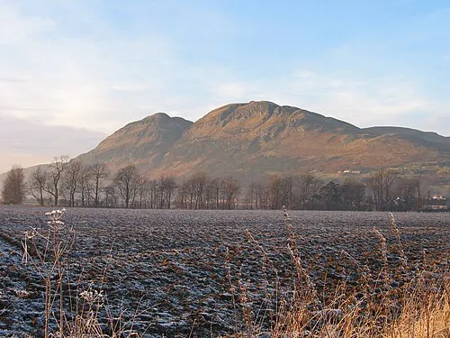 Dumyat Mountain, Stirling6.4 km SE
-
Stone Hill Mountain, Stirling3.6 km SE
-
Ardoch Burn River, Stirling5.4 km W
-
Abbey Craig Mountain, Stirling6.2 km SE
-
Craigforth Mountain, Stirling6.6 km S
Sources & licences
Data last updated: · 2 independent sources