Gartness
Located in Stirling, Scotland Coordinates: 56°03′00″ N 4°24′00″ W
- Elevation
- 43 m
- above sea level
- Local time
- UTC+00:00
- Europe/London · UTC+00:00
About Gartness
Gartness is a village. Location: Stirling, Scotland. Elevation: 43 m.
Gartness is a hamlet in Stirling, Scotland. It is located 1.8 miles/2.9 km from Killearn and 3.1 miles/5 km from Drymen. Most pupils attend Killearn Primary School and senior pupils attend Balfron High School. The Endrick Water passes through the hamlet. Gartness Castle, to the south of Gartness, was once the home of John Napier.
Read more on Wikipedia Text: Wikipedia contributors · CC BY-SA 4.0 · shortened
In comparison
- Nearest larger town: Killearn, 2 km SE
- 36 sights and natural places within 10 km Finnich Burn, Dualt Burn
Nearby attractions & nature
Everything nearby-
Finnich Burn River, Stirling1.9 km S
-
Dualt Burn River, Stirling1.9 km S
-
Blane Water River, Stirling1.9 km S
-
Knockinhaglish Hill Mountain, Stirling2.6 km SW
-
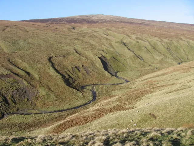 Earl's Seat Mountain, Stirling7 km SE
-
Meikle Caldon Mountain, Stirling3.8 km S
Sources & licences
Data last updated: · 2 independent sources