Catrail Edge
Located in The Scottish Borders, Scotland Coordinates: 55°19′50″ N 2°48′01″ W
- Elevation
- 463 m
- above sea level
- Local time
- UTC+00:00
- Europe/London · UTC+00:00
About Catrail Edge
Catrail Edge is a mountain. Location: The Scottish Borders, Scotland. Elevation: 463 m.
In comparison
- No. 5875 of 18223 mountains in United Kingdom by elevation
- 64 sights and natural places within 10 km Penchrise Pen, Maiden Paps
Airports nearest to Catrail Edge
- Edinburgh Airport (EDI) Ingliston, Edinburgh 78 km
- Newcastle International Airport (NCL) Newcastle upon Tyne, Tyne and Wear 78 km
- Glasgow Prestwick Airport (PIK) Prestwick, South Ayrshire 114 km
Straight-line distance; airports with scheduled flights only. Source: OurAirports (public domain).
Nearest towns and villages
-
Priesthaugh Village, The Scottish Borders2.1 km W
-
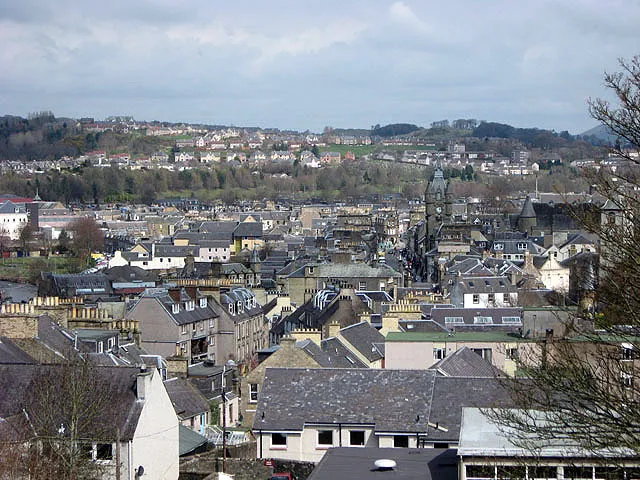 Hawick Town, The Scottish Borders10 km N
-
Newmill Village, The Scottish Borders7.2 km NW
-
Branxholme Village, The Scottish Borders7.9 km N
-
Teviothead Village, The Scottish Borders8.8 km W
-
West End Neighbourhood, The Scottish Borders9.5 km N
Nearby attractions & nature
Everything nearby-
Penchrise Pen Mountain, The Scottish Borders1.9 km N
-
Maiden Paps Mountain, The Scottish Borders2.1 km S
-
Scaw'd Law Mountain, The Scottish Borders2.7 km S
-
Hillend Mountain, The Scottish Borders2.8 km E
-
Burgh Hill Mountain, The Scottish Borders3.1 km NW
-
Dod Rig Mountain, The Scottish Borders3.2 km SW
-
Dodburn Hill Mountain, The Scottish Borders3.3 km N
-
Leap Hill Mountain, The Scottish Borders3.6 km SE
Sources & licences
Data last updated: