Lead Law
Located in The Scottish Borders, Scotland Coordinates: 55°45′45″ N 3°21′45″ W
- Elevation
- 347 m
- above sea level
- Local time
- UTC+00:00
- Europe/London · UTC+00:00
About Lead Law
Lead Law is a mountain. Location: The Scottish Borders, Scotland. Elevation: 347 m.
In comparison
- No. 8548 of 18223 mountains in United Kingdom by elevation
- 77 sights and natural places within 10 km Cairn Burn, Faw Mount
Nearest towns and villages
-
West Linton Village, The Scottish Borders1.5 km S
-
Carlops Village, The Scottish Borders3.4 km NE
-
Romannobridge Village, The Scottish Borders5.4 km S
-
Lamancha Village, The Scottish Borders5.5 km E
-
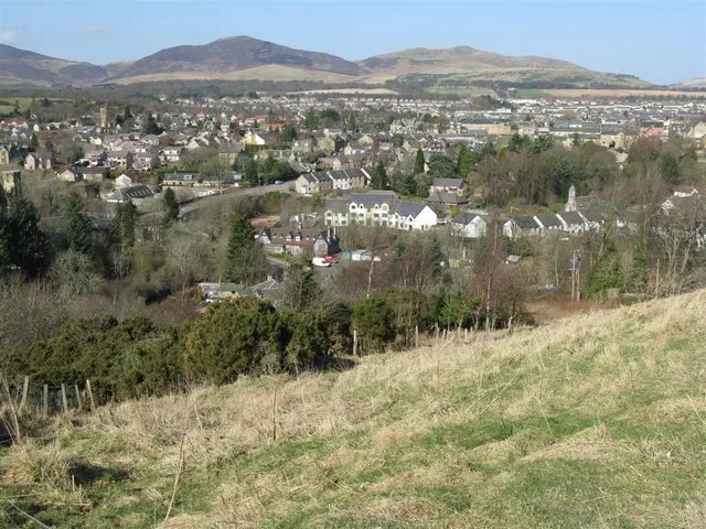 Penicuik Town, Midlothian11 km NE
-
Mountain Cross Village, The Scottish Borders6 km S
Nearby attractions & nature
Everything nearby-
Faw Mount Mountain, The Scottish Borders1.9 km NW
-
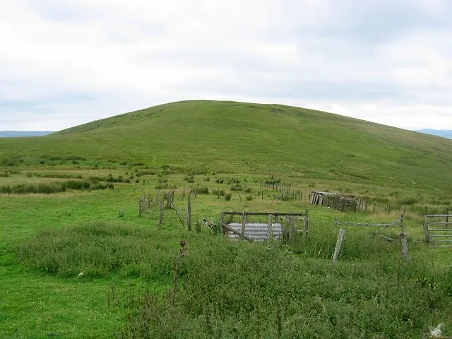 King Seat Mountain, The Scottish Borders3 km W
-
Lamb Rig Mountain, The Scottish Borders3 km W
-
Cairn Burn River, Scotland1.6 km SE
-
Slipperfield Mount Mountain, The Scottish Borders3.2 km W
-
Mount Maw Mountain, The Scottish Borders2.6 km N
-
Carlops Hill Mountain, The Scottish Borders3.2 km N
-
Mendick Hill Mountain, The Scottish Borders3.5 km SW
More nature in United Kingdom
-
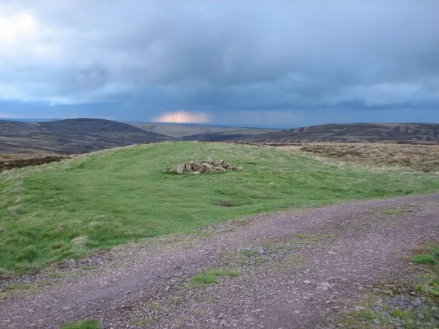 Catstone Mountain, The Scottish Borders4.9 km W
-
Wether Law Mountain, The Scottish Borders5.4 km N
-
Muckle Knock Mountain, The Scottish Borders4.4 km NW
-
North Muir Hill Mountain, The Scottish Borders4.5 km SW
-
Millstone Rig Mountain, The Scottish Borders6.4 km W
-
Fadden Mountain, The Scottish Borders5 km W
Sources & licences
Data last updated: · 2 independent sources