- Elevation
- 477 m
- above sea level
- Local time
- UTC+00:00
- Europe/London · UTC+00:00
- Airports
- EDI Edinburgh Airport73 km
- NCL Newcastle International Airport93 km
About Stock Hill
Stock Hill is a mountain. Location: The Scottish Borders, Scotland. Elevation: 477 m. The best months to visit are July. The nearest airport is Edinburgh Airport (73 km). Nearby sights include Eweslees Knowe and Ladder Law.
Climate of Stock Hill
Best months for sightseeingBest months for sightseeing: July.
This month · November
A wet month
Day 6° · Night 0° · Rain 156 mm
- Hottest month
- July (day 17°)
- Coldest month
- January (night -2°)
- Wettest month
- December (171 mm)
- Driest month
- May (85 mm)
Bars: average monthly low and high temperature. Below: precipitation. Monthly averages for 1970–2000 at about 18 km resolution, adjusted for elevation. Highlighted months are mild and relatively dry. Source: WorldClim 2.1 (CC BY 4.0).
Show values as a table
| Month | Jan | Feb | Mar | Apr | May | Jun | Jul | Aug | Sep | Oct | Nov | Dec |
|---|---|---|---|---|---|---|---|---|---|---|---|---|
| Average high (°C) | 4° | 4° | 6° | 9° | 12° | 15° | 17° | 16° | 13° | 10° | 6° | 4° |
| Average low (°C) | -2° | -2° | -1° | 0° | 3° | 6° | 8° | 8° | 6° | 3° | 0° | -1° |
| Precipitation (mm) | 169 | 125 | 138 | 88 | 85 | 90 | 99 | 113 | 130 | 158 | 156 | 171 |
Other places to visit in this season: July
How to get to Stock Hill
The nearest airport is Edinburgh Airport (EDI), 73 km to the north as the crow flies. The nearest large city is Edinburgh, 71 km to the north.
Airports
- Edinburgh Airport (EDI) Ingliston, Edinburgh 73 kmnorth
- Newcastle International Airport (NCL) Newcastle upon Tyne, Tyne and Wear 93 kmeast
- Glasgow Prestwick Airport (PIK) Prestwick, South Ayrshire 98 kmwest
Nearby large cities
- Edinburgh Population: 515K 71 kmnorth
- Glasgow Population: 626.4K 97 kmnorthwest
- Newcastle upon Tyne Population: 300.1K 100 kmeast
- Sunderland Population: 170.1K 117 kmeast
- Dundee Population: 148.2K 128 kmnorth
Straight-line distances; road distances are longer. Airport data: OurAirports.
Day trips from Stock Hill
Within 100 km: 683 historic and cultural sites, 2,997 natural sites, 721 lakes, rivers and coasts.
0–25 km422 places
- Loch Skeen Lake 20 kmNW
- Shaws Upper Loch Lake 16 kmNE
- Shaws Under Loch Lake 18 kmNE
- Shaws Lochs Lake 18 kmN
25–60 km1,348 places
- Powillimount Beach Beach 57 kmSW
- Kirkland Scar Island 42 kmS
- Wooden Anna Island 52 kmNE
- Fishgarth Holm Island 56 kmS
60–100 km2,631 places
- St. Bees Beach Seafront Beach 98 kmS
- Burntisland Beach Beach 84 kmN
- Cramond beach Beach 75 kmN
- Portobello Beach Beach 71 kmN
Straight-line distances.
Nearest towns and villages
-
Craik Village, The Scottish Borders5.7 km NE
-
Teviothead Village, The Scottish Borders8.7 km E
-
Eskdalemuir Village, Dumfries and Galloway8.5 km SW
-
Davington Village, Dumfries and Galloway8.5 km W
-
Holm Village, Dumfries and Galloway9.1 km SW
-
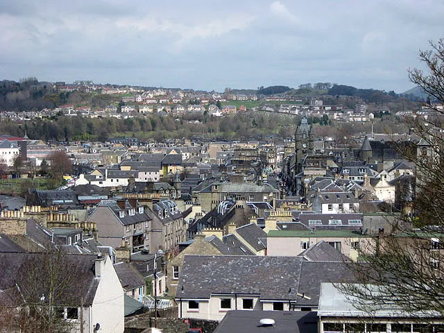 Hawick Town, The Scottish Borders21 km NE
Nearby attractions & nature
Everything nearby-
Eweslees Knowe Mountain, Dumfries and Galloway1.4 km S
-
Ladder Law Mountain, The Scottish Borders1.5 km N
-
Ladshaw Fell Mountain, The Scottish Borders1.6 km NW
-
Craik Cross Hill Mountain, Dumfries and Galloway2.5 km NW
-
Byehass Hill Mountain, The Scottish Borders2.8 km E
-
Mid Rig Mountain, The Scottish Borders2.8 km NE
-
South Grain Pike Mountain, Dumfries and Galloway2.9 km SW
-
Woodbus Fell Mountain, Dumfries and Galloway3 km S
Sources & licences
Data last updated: