Torfichen Hill
Located in The Scottish Borders, Scotland Coordinates: 55°45′47″ N 3°03′36″ W
- Elevation
- 468 m
- above sea level
- Local time
- UTC+00:00
- Europe/London · UTC+00:00
About Torfichen Hill
Torfichen Hill is a mountain. Location: The Scottish Borders, Scotland. Elevation: 468 m.
In comparison
- No. 5759 of 18223 mountains in United Kingdom by elevation
- 56 sights and natural places within 10 km Hope Burn, Longshaw Law
Nearest towns and villages
-
Temple Village, Midlothian4.4 km N
-
Gorebridge Town, Midlothian9.3 km N
-
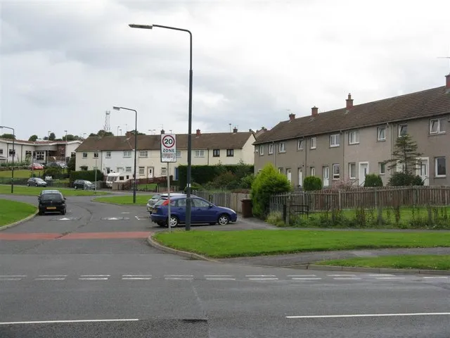 Mayfield Town, Midlothian12 km N
-
Temple View Village, Midlothian5.9 km N
-
Heriot Village, The Scottish Borders6.9 km E
-
Middleton Village Village, Midlothian6 km NE
Nearby attractions & nature
Everything nearby-
Longshaw Law Mountain, The Scottish Borders2.4 km SE
-
Hope Burn River, Scotland1.6 km SE
-
Wull Muir Mountain, Midlothian2.5 km NE
-
Whiteside Law Mountain, The Scottish Borders2.8 km SE
-
Garvald Law Mountain, The Scottish Borders2.9 km S
-
Huntly Cot Hills Mountain, Midlothian2.9 km SW
-
Carcant Hill Mountain, The Scottish Borders3.5 km E
-
Dod Law Mountain, The Scottish Borders4.3 km SE
More nature in United Kingdom
-
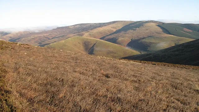 Windlestraw Law Mountain, The Scottish Borders10 km S
-
Fala Hill Mountain, The Scottish Borders5.8 km NE
-
Makeness Kipps Mountain, The Scottish Borders11 km SW
-
Jeffries Corse North Top Mountain, The Scottish Borders6.3 km SW
-
Rawburn Head Mountain, The Scottish Borders6.4 km SE
-
Halltree Rings Mountain, The Scottish Borders6.5 km E
Sources & licences
Data last updated: