Flannan Islands Lighthouse
Located in Western Isles, Scotland Coordinates: 58°17′17″ N 7°35′16″ W
- Local time
- UTC+00:00
- Europe/London · UTC+00:00
- Elevation
- 43 m
- above sea level
- Airports
- SYY Stornoway Airport74 km
- BEB Benbecula Airport91 km
About Flannan Islands Lighthouse
Flannan Islands Lighthouse is a landmark. Location: Western Isles, Scotland. The nearest airport is Stornoway Airport (74 km). Nearby sights include Eilean Mòr and Làhma Sgeir Bheag.
Climate of Flannan Islands Lighthouse
This month · November
A wet month
Day 10° · Night 7° · Rain 172 mm
- Hottest month
- August (day 15°)
- Coldest month
- March (night 4°)
- Wettest month
- October (181 mm)
- Driest month
- June (78 mm)
Bars: average monthly low and high temperature. Below: precipitation. Monthly averages for 1970–2000 at about 18 km resolution, adjusted for elevation. Highlighted months are mild and relatively dry. Source: WorldClim 2.1 (CC BY 4.0).
Show values as a table
| Month | Jan | Feb | Mar | Apr | May | Jun | Jul | Aug | Sep | Oct | Nov | Dec |
|---|---|---|---|---|---|---|---|---|---|---|---|---|
| Average high (°C) | 9° | 8° | 8° | 9° | 11° | 12° | 14° | 15° | 14° | 12° | 10° | 10° |
| Average low (°C) | 5° | 5° | 4° | 5° | 7° | 9° | 11° | 11° | 11° | 9° | 7° | 6° |
| Precipitation (mm) | 160 | 126 | 145 | 96 | 81 | 78 | 92 | 108 | 148 | 181 | 172 | 158 |
How to get to Flannan Islands Lighthouse
The nearest airport is Stornoway Airport (SYY), 74 km to the east as the crow flies. The nearest large city is Glasgow, 337 km to the southeast.
Airports
- Stornoway Airport (SYY) Stornoway, Western Isles 74 kmeast
- Benbecula Airport (BEB) Balivanich 91 kmsouth
- Barra Airport (BRR) Eoligarry 141 kmsouth
Nearby large cities
- Glasgow Population: 626.4K 337 kmsoutheast
- Dundee Population: 148.2K 343 kmsoutheast
- Aberdeen Population: 198.6K 351 kmeast
- Edinburgh Population: 515K 372 kmsoutheast
Straight-line distances; road distances are longer. Airport data: OurAirports.
Day trips from Flannan Islands Lighthouse
Within 100 km: 14 historic and cultural sites, 594 natural sites, 680 lakes, rivers and coasts.
0–25 km18 places
- Soray Island 1 kmS
- Eilean Mòr Island 1 kmSW
- Eilean a’ Ghobha Island 3 kmW
- Seven Hunters Island 1 kmW
25–60 km417 places
- Dalmore Beach Beach 49 kmE
- Dailbeag Beach Beach 50 kmE
- Bearasaigh Island 40 kmE
- Craigeam Island 44 kmE
60–100 km853 places
- Isle of Harris Natural site 63 kmSE
- Scalpay Island 72 kmSE
- Lingay Island 70 kmS
- Tannaraidh Island 71 kmE
Straight-line distances.
Nearby attractions & nature
Everything nearby-
Eilean Mòr Island, Western Isles0.1 km SW
-
Làhma Sgeir Bheag Island, Western Isles0.2 km SE
-
Eilean Mor W Stack Mountain, Western Isles0.6 km W
-
Làhma Sgeir Mohr Island, Western Isles0.3 km S
-
Dearcna Sgeir Island, Western Isles0.3 km E
-
Eilean Tigh Island, Western Isles0.6 km SE
-
Thama Sgeir Island, Western Isles0.7 km SE
-
Sgeir Toman West Mountain, Western Isles1.8 km S
Nearest towns and villages
More sights in Western Isles
-
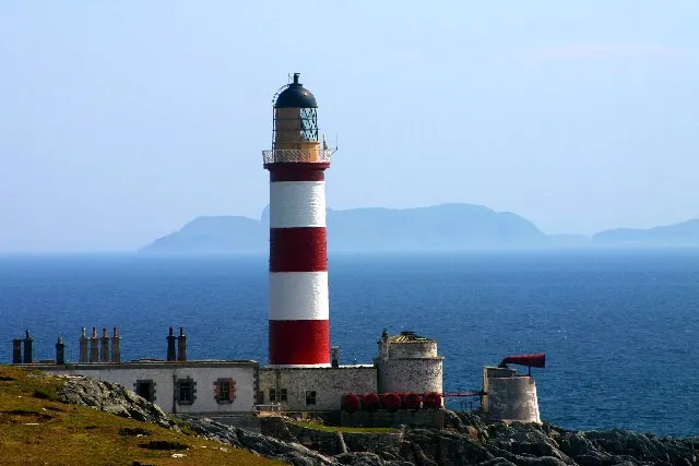 Eilean Glas Lighthouse Landmark, Western Isles74 km SE
-
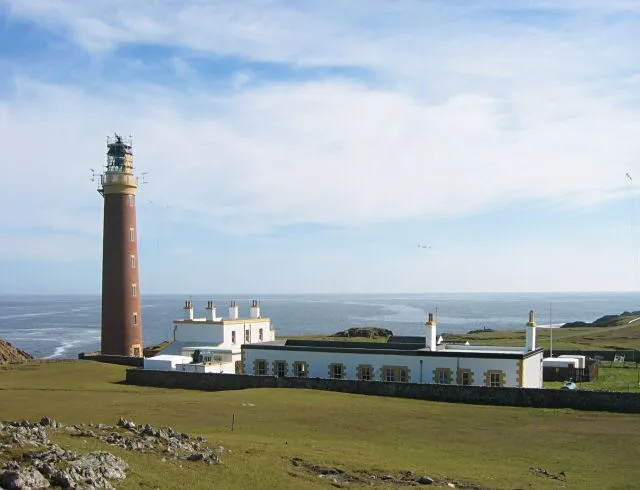 Butt of Lewis Lighthouse Landmark, Western Isles82 km E
-
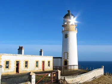 Tiumpan Head Lighthouse Landmark, Western Isles85 km E
-
Eitshal Transmitting Station Landmark, Western Isles60 km E
-
Arnish Point Ligthouse Landmark, Western Isles72 km E
-
Telecommunication Tower of Remote Radar Head Benbecula Landmark, Western Isles75 km S
Sources & licences
Data last updated: