Flodday
Located in Western Isles, Scotland Coordinates: 56°59′48″ N 7°20′57″ W
About Flodday
Flodday is an island. Location: Western Isles, Scotland.
Flodday or Flodaigh (Scottish Gaelic), is a currently uninhabited island that lies to the north east of Barra and is one of ten islands in the Sound of Barra, a Site of Community Importance for conservation in the Outer Hebrides, Scotland. Its name derives from the Old Norse for "flat island".
Read more on Wikipedia Text: Wikipedia contributors · CC BY-SA 4.0 · shortened
In comparison
- 67 sights and natural places within 10 km Snagaras, Fuidheigh
Climate of Flodday
| Month | Jan | Feb | Mar | Apr | May | Jun | Jul | Aug | Sep | Oct | Nov | Dec |
|---|---|---|---|---|---|---|---|---|---|---|---|---|
| Average high (°C) | 7° | 7° | 8° | 10° | 12° | 14° | 15° | 16° | 14° | 12° | 9° | 8° |
| Average low (°C) | 3° | 3° | 3° | 4° | 6° | 9° | 11° | 11° | 10° | 8° | 5° | 4° |
| Precipitation (mm) | 154 | 112 | 121 | 77 | 65 | 73 | 91 | 107 | 136 | 162 | 157 | 152 |
Monthly averages for 1970–2000 at about 18 km resolution, adjusted for elevation. Highlighted months are mild and relatively dry. Source: WorldClim 2.1 (CC BY 4.0).
Airports nearest to Flodday
- Barra Airport (BRR) Eoligarry 6 km
- Benbecula Airport (BEB) Balivanich 54 km
- Tiree Airport (TRE) Balemartine, Argyll and Bute 63 km
Straight-line distance; airports with scheduled flights only. Source: OurAirports (public domain).
Nearest towns and villages
-
Isle of Barra Village, Western Isles6.8 km W
-
Bogach Village, Western Isles4 km W
-
Balnabodach Village, Western Isles4.2 km W
-
Bayherivagh Village, Western Isles4.4 km W
-
Àird Mhithinis Village, Western Isles4.9 km W
-
Ersary Village, Western Isles7 km SW
Nearby attractions & nature
Everything nearby-
Snagaras Island, Western Isles0.6 km N
-
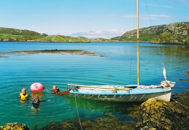 Hellisay Island, Western Isles2.2 km N
-
Fuidheigh [Fuiay] Island, Western Isles1.3 km W
-
Eilean Sheumais Island, Western Isles1.4 km NW
-
Fuidheigh Island, Western Isles1.2 km W
-
Garbh-Lingeigh Island, Western Isles1.4 km NW
-
Meall Mor Island, Western Isles1.6 km NE
-
Beinn a' Charnain Mountain, Western Isles2.1 km N
More lakes, rivers and coasts in United Kingdom
-
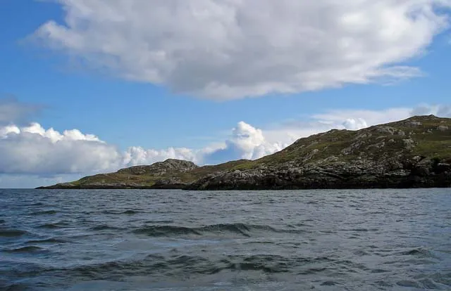 Gighay Island, Western Isles2.9 km NE
-
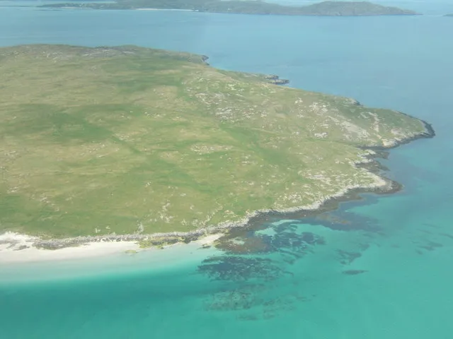 Fuday Island, Western Isles6.3 km N
-
Eilean na Cartach Island, Western Isles1.9 km NE
-
Sgeirislum Island, Western Isles1.9 km W
-
Orosay Island, Western Isles5.5 km NW
-
Eilean a' Ceud Island, Western Isles2.3 km N
Sources & licences
Data last updated: · 2 independent sources