Fuday
Located in Western Isles, Scotland Coordinates: 57°03′00″ N 7°23′00″ W
- Elevation
- 59 m
- above sea level
- Local time
- UTC+00:00
- Europe/London · UTC+00:00
About Fuday
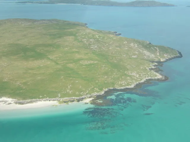
Fuday is an island. Location: Western Isles, Scotland.
Fuday (Scottish Gaelic: Fùideigh) is an uninhabited island of about 232 hectares (570 acres) and is one of ten islands in the Sound of Barra, a Site of Community Importance for conservation in the Outer Hebrides of Scotland. It lies just east of Scurrival Point on Barra and west of Eriskay. Fuday is owned by the Scottish Government. Deserted since 1901, its peak population is recorded only as seven.
Read more on Wikipedia Text: Wikipedia contributors · CC BY-SA 4.0 · shortened
In comparison
- 63 sights and natural places within 10 km Mullach Neacail (Fuidheigh), Orosay
Airports nearest to Fuday
- Barra Airport (BRR) Eoligarry 5 km
- Benbecula Airport (BEB) Balivanich 48 km
- Tiree Airport (TRE) Balemartine, Argyll and Bute 69 km
Straight-line distance; airports with scheduled flights only. Source: OurAirports (public domain).
Nearest towns and villages
-
Eoligarry Village, Western Isles3.4 km W
-
Isle of Barra Village, Western Isles9 km SW
-
Coilleag Village, Western Isles5.7 km NE
-
Pàirceanan Village, Western Isles5.7 km NE
-
Acairseid Village, Western Isles5.8 km NE
-
Àird Mhithinis Village, Western Isles5.8 km SW
Nearby attractions & nature
Everything nearby-
Mullach Neacail (Fuidheigh) Island, Western Isles0.2 km W
-
Orosay Island, Western Isles3.1 km SW
-
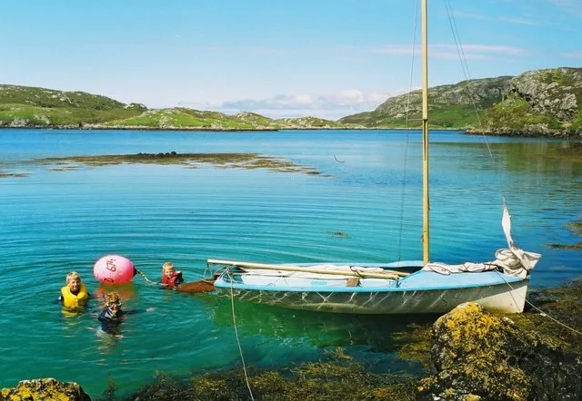 Hellisay Island, Western Isles4.2 km SE
-
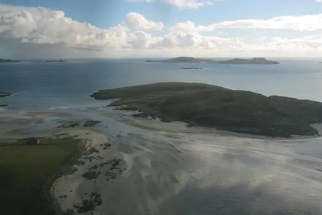 Orosay Island, Western Isles3.3 km SW
-
Beinn Eolaigearraidh Mountain, Western Isles3.7 km W
-
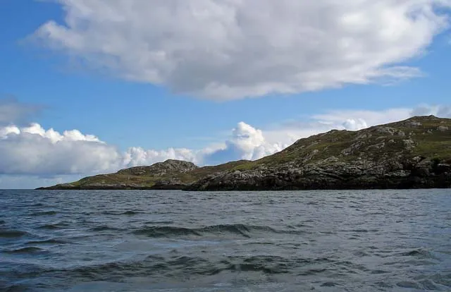 Gighay Island, Western Isles4.7 km SE
-
Orasaigh Island, Western Isles3.3 km SW
-
Beinn Sgurabhal Mountain, Western Isles4.1 km W
Sources & licences
Data last updated: · 2 independent sources