- Elevation
- 43 m
- above sea level
- Airports
- BRR Barra Airport20 km
- TRE Tiree Airport57 km
About Roisinis
Roisinis is an island. Location: Western Isles, Scotland. The nearest airport is Barra Airport (20 km). Nearby sights include Cnoc Sumula and Pabbay.
Climate of Roisinis
This month · November
A wet month
Day 10° · Night 5° · Rain 152 mm
- Hottest month
- August (day 15°)
- Coldest month
- February (night 3°)
- Wettest month
- October (159 mm)
- Driest month
- May (63 mm)
Bars: average monthly low and high temperature. Below: precipitation. Monthly averages for 1970–2000 at about 18 km resolution, adjusted for elevation. Highlighted months are mild and relatively dry. Source: WorldClim 2.1 (CC BY 4.0).
Show values as a table
| Month | Jan | Feb | Mar | Apr | May | Jun | Jul | Aug | Sep | Oct | Nov | Dec |
|---|---|---|---|---|---|---|---|---|---|---|---|---|
| Average high (°C) | 8° | 8° | 8° | 9° | 12° | 14° | 15° | 15° | 14° | 12° | 10° | 8° |
| Average low (°C) | 4° | 3° | 4° | 4° | 6° | 9° | 11° | 11° | 10° | 8° | 5° | 4° |
| Precipitation (mm) | 150 | 109 | 117 | 73 | 63 | 71 | 88 | 104 | 131 | 159 | 152 | 148 |
How to get to Roisinis
The nearest airport is Barra Airport (BRR), 20 km to the north as the crow flies. The nearest large city is Glasgow, 231 km to the southeast.
Airports
- Barra Airport (BRR) Eoligarry 20 kmnorth
- Tiree Airport (TRE) Balemartine, Argyll and Bute 57 kmsoutheast
- Benbecula Airport (BEB) Balivanich 71 kmnorth
Nearby large cities
- Glasgow Population: 626.4K 231 kmsoutheast
- Belfast Population: 348K 271 kmsoutheast
- Dundee Population: 148.2K 284 kmeast
- Edinburgh Population: 515K 287 kmeast
- Aberdeen Population: 198.6K 333 kmeast
Straight-line distances; road distances are longer. Airport data: OurAirports.
Nearby attractions & nature
Everything nearby-
Cnoc Sumula Mountain, Western Isles1.5 km W
-
Pabbay Island, Western Isles1.4 km W
-
An Tobha East Top Mountain, Western Isles1.8 km W
-
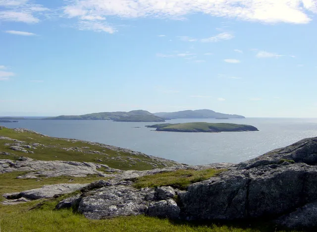 Lingeigh Island Island, Western Isles2.8 km NW
-
An Tobha [The Hoe] Island, Western Isles2.2 km W
-
Grianamul Island, Western Isles2.6 km N
-
Aird Phabach Mountain, Western Isles3.9 km NE
-
Cnoc a' Ghlinne Mhoir Mountain, Western Isles4.4 km NE
Sources & licences
Data last updated: