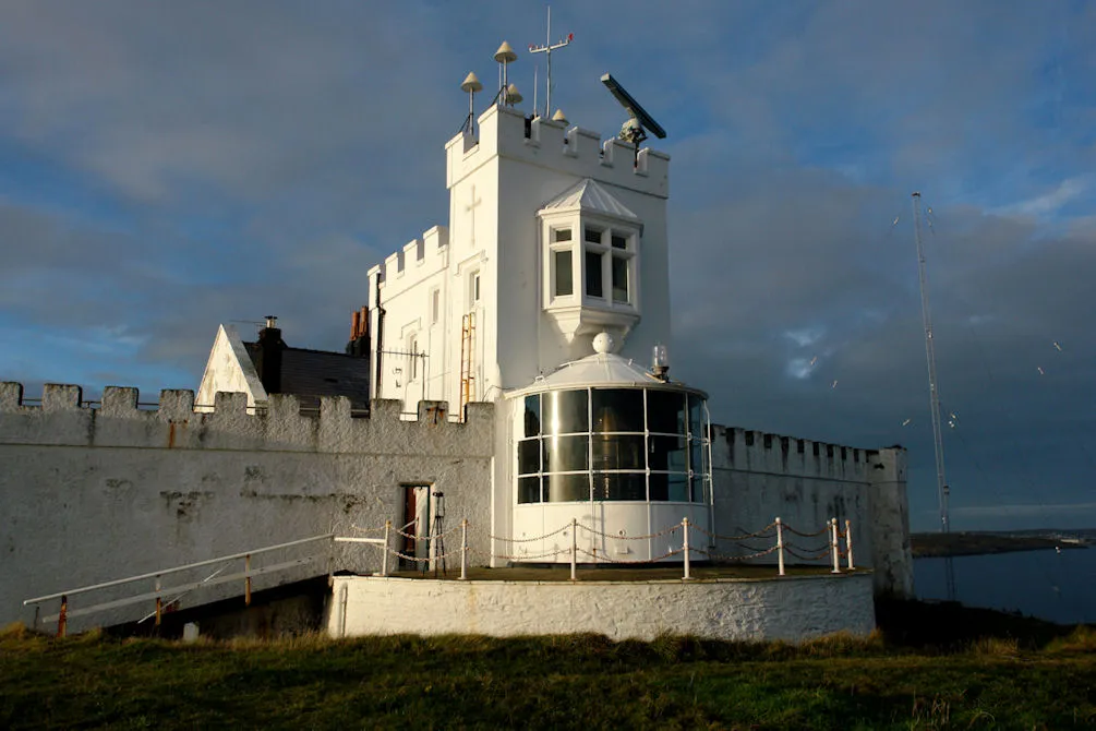
Point Lynas Lighthouse
Located in Llaneilian, Anglesey Coordinates: 53°24′58″ N 4°17′21″ W
- Local time
- UTC+00:00
- Europe/London · UTC+00:00
- Elevation
- 18 m
- above sea level
About Point Lynas Lighthouse
Point Lynas Lighthouse is a landmark. Location: Llaneilian, Anglesey.
Point Lynas Lighthouse (Welsh: Goleudy Trwyn y Balog) is located on a headland in Llaneilian Community, on the north-east corner of Anglesey in North Wales (at grid reference SH479936). A pilot station was established on the point in 1766, to guide ships entering and leaving Liverpool, with an associated lighthouse added in 1779. The present building was built on the hilltop in 1835, so does not need a tower.
Read more on Wikipedia Text: Wikipedia contributors · CC BY-SA 4.0 · shortened
At a glance
- Built
- 1835
- Heritage designation
- Grade II listed building
- Height
- 11 m
Source: Wikidata
In comparison
- 17 sights and natural places within 10 km Point Lynas DGPS-Transmitter, Mynydd Eilian
Airports nearest to Point Lynas Lighthouse
- Isle of Man Airport (IOM) Castletown, Rushen 77 km
- Liverpool John Lennon Airport (LPL) Liverpool 96 km
- Dublin Airport (DUB) Dublin 131 km
Straight-line distance; airports with scheduled flights only. Source: OurAirports (public domain).
Nearby attractions & nature
Everything nearby-
Point Lynas DGPS-Transmitter Landmark, Llaneilian<0.1 km W
-
Mynydd Eilian Mountain, Llaneilian1.9 km S
-
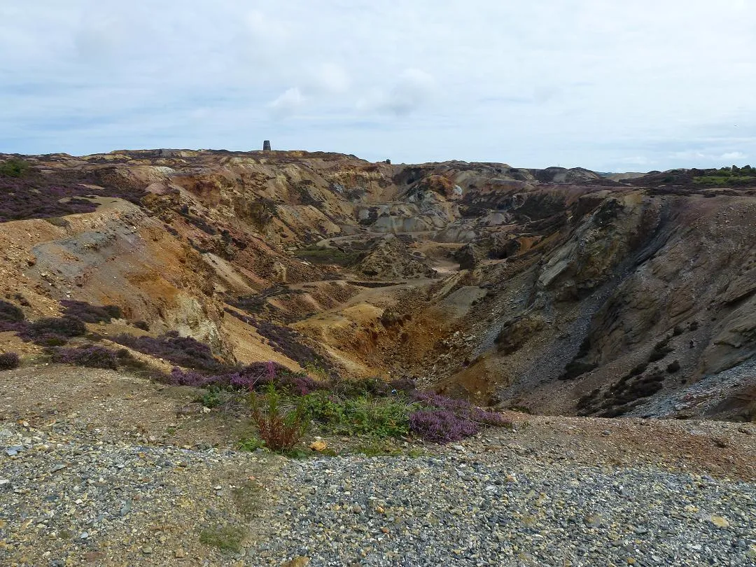 Parys Mountain Mountain, Amlwch4.7 km SW
-
Ynys Dulas Island, Llaneilian4 km SE
-
Bull Bay Natural site, Wales4 km W
-
Dulas Bay Natural site, Wales4.5 km SE
-
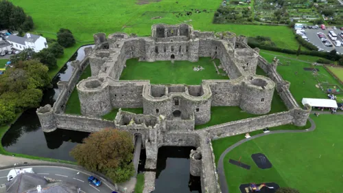 Beaumaris Castle Historic site, Beaumaris21 km SE
-
Bae Lligwy Natural site, Wales6.1 km S
Nearest towns and villages
-
Penysarn Village, Llaneilian3.5 km SW
-
Amlwch Village, Amlwch3.9 km W
-
Pengorffwysfa Village, Llaneilian2 km SW
-
Llaneilian Village, Llaneilian2.3 km SW
Sources & licences
Data last updated: · 2 independent sources