Parys Mountain
Located in Amlwch, Anglesey Coordinates: 53°23′19″ N 4°20′36″ W
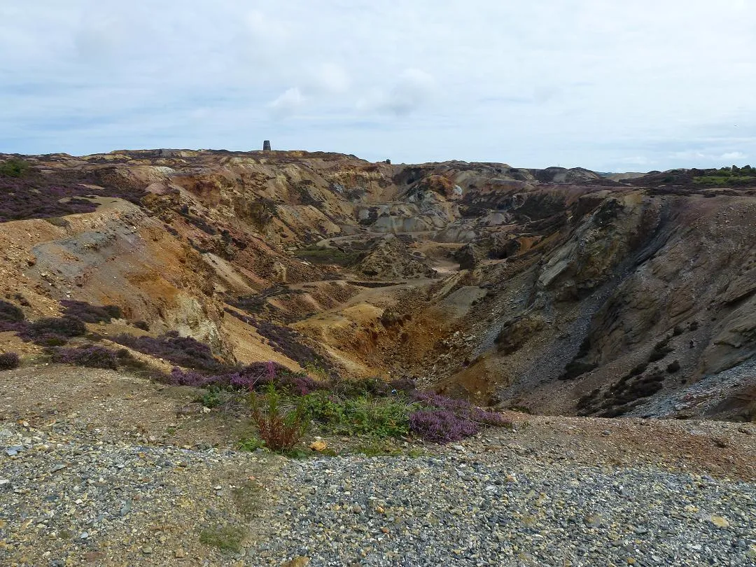
- Elevation
- 147 m
- above sea level
- Local time
- UTC+00:00
- Europe/London · UTC+00:00
About Parys Mountain
Parys Mountain is a mountain. Location: Amlwch, Anglesey. Elevation: 147 m.
Parys Mountain (Welsh: Mynydd Parys) is located south of the town of Amlwch in north east Anglesey, Wales. Originally known as Trysclwyn, the high ground is reputed to have gained its current name when it was given to Robert Parys, Chamberlain of North Wales by Henry IV. It is the site of a large copper mine that was extensively exploited in the late 18th century. Parys Mountain is a mountain in name only, being a hill with an elevation of less than 150m.
Read more on Wikipedia Text: Wikipedia contributors · CC BY-SA 4.0 · shortened
At a glance
- Heritage designation
- Site of Special Scientific Interest
- Topographic prominence
- 66 m
Source: Wikidata
In comparison
- No. 14780 of 18223 mountains in United Kingdom by elevation
- 21 sights and natural places within 10 km Bull Bay, Mynydd Eilian
Nearest towns and villages
-
Amlwch Village, Amlwch2.4 km N
-
Penysarn Village, Llaneilian1.7 km E
-
Pentrefelin Village, Amlwch1.2 km N
-
Bull Bay Village, Amlwch4 km NW
-
Gadfa Village, Llaneilian1.8 km SE
-
Amlwch Port Neighbourhood, Amlwch2.7 km N
Nearby attractions & nature
Everything nearby-
Mynydd Eilian Mountain, Llaneilian3.2 km NE
-
Bull Bay Natural site, Wales3.1 km N
-
Pen y Castell Mountain, Llanddyfnan5.8 km SE
-
Bryn Coch Mountain, Mechell5.8 km W
-
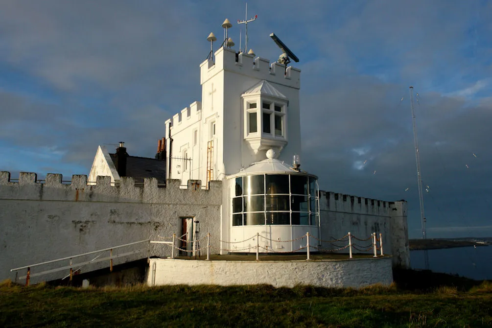 Point Lynas Lighthouse Landmark, Llaneilian4.7 km NE
-
Graig Wen Mountain, Llanbadrig6.2 km NW
-
Barclodiau Mountain, Llanddyfnan6.2 km SE
-
Pen y Foel Mountain, Llannerch-y-Medd6.4 km S
Sources & licences
Data last updated: · 2 independent sources