Aberystwyth Castle
Located in Aberystwyth, Ceredigion Coordinates: 52°24′48″ N 4°05′22″ W
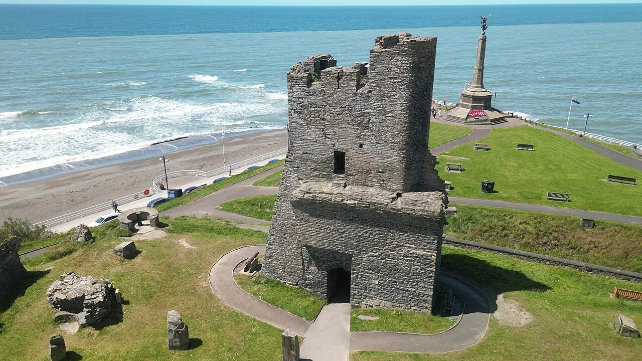
- Local time
- UTC+00:00
- Europe/London · UTC+00:00
- Elevation
- 27 m
- above sea level
About Aberystwyth Castle
Aberystwyth Castle is a historic site. Location: Aberystwyth, Ceredigion.
Aberystwyth Castle (Welsh: Castell Aberystwyth) is a Grade I listed Edwardian fortress located in Aberystwyth, Ceredigion, Mid Wales. It was built in response to the First Welsh War in the late 13th century, replacing an earlier fortress located a mile to the south. During a national uprising by Owain Glyndŵr, the Welsh captured the castle in 1404, but it was recaptured by the English four years later. From 1637, it housed a Royal mint of Charles I, which minted coins from locally mined silver.
Read more on Wikipedia Text: Wikipedia contributors · CC BY-SA 4.0 · shortened
At a glance
- Built
- 1277
- Heritage designation
- Grade I listed building, scheduled monument, National Monument of Wales
Source: Wikidata
In comparison
- 44 sights and natural places within 10 km St Michael's Church, Aberystwyth War memorial
Airports nearest to Aberystwyth Castle
- Cardiff International Airport (CWL) Cardiff 124 km
- Liverpool John Lennon Airport (LPL) Liverpool 132 km
- Bristol Airport (BRS) Bristol 149 km
Straight-line distance; airports with scheduled flights only. Source: OurAirports (public domain).
Nearby attractions & nature
Everything nearby-
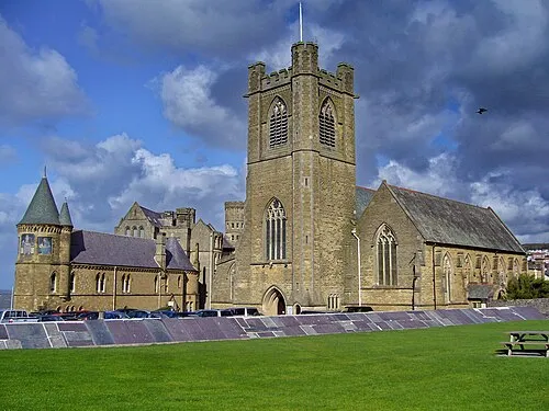 St Michael's Church Attraction, Aberystwyth0.1 km NE
-
Aberystwyth War memorial Landmark, Aberystwyth0.1 km NW
-
Commodore cinema Attraction, Aberystwyth0.6 km NE
-
Park Avenue Stadium Landmark, Aberystwyth0.7 km E
-
Aberystwyth bandstand Attraction, Aberystwyth0.7 km NE
-
Pendinas Historic site, Aberystwyth1.1 km SE
-
Pendinas Landmark, Aberystwyth1.4 km S
-
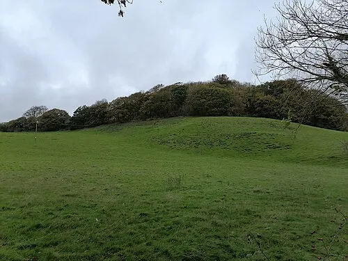 Tan y Castell Historic site, Llanfarian2.6 km S
Nearest towns and villages
-
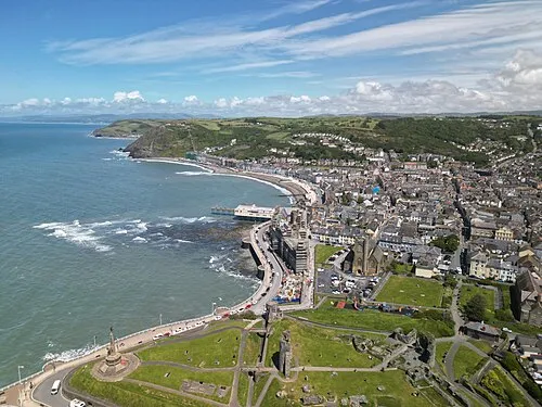 Aberystwyth Town, Aberystwyth0.5 km NE
-
Penparcau Village, Aberystwyth1.5 km SE
-
Trefechan Neighbourhood, Aberystwyth0.6 km S
-
Buarth Mawr Neighbourhood, Aberystwyth0.7 km E
Sources & licences
Data last updated: · 2 independent sources