Aberystwyth
Located in Ceredigion, Wales Coordinates: 52°24′44″ N 4°04′37″ W
- Elevation
- 11 m
- above sea level
- Local time
- UTC+00:00
- Europe/London · UTC+00:00
- Places inside
- 19
- listed under Aberystwyth
About Aberystwyth
Aberystwyth is a municipality. Location: Ceredigion, Wales. Elevation: 11 m.
In comparison
- Nearest larger town: Aberystwyth, 1 km NW
- 49 sights and natural places within 10 km Park Avenue Stadium, Afon Rheidol
- Listed here: Attraction: 5, Neighbourhood: 4, Landmark: 3, Historic site: 2
Places in Aberystwyth
19 places-
Aberystwyth Town18.7K
-
Penparcau Village3.1K
-
Aberystwyth Arts Centre, Theatre Y Werin Attraction
-
Aberystwyth bandstand Attraction
-
Aberystwyth Castle Historic site
-
Aberystwyth War memorial Landmark
-
Buarth Mawr Neighbourhood
-
Caeffynnon Neighbourhood
-
Commodore cinema Attraction
-
Constitution Hill Mountain
-
Llanbadarn-fawr Village
-
Park Avenue Stadium Landmark
-
Pendinas Landmark
-
Pendinas Mountain
-
Pendinas Historic site
-
Southgate Neighbourhood
-
St Anne's Church Attraction
-
St Michael's Church Attraction
-
Trefechan Neighbourhood
Nearby attractions & nature
Everything nearby-
Afon Rheidol River, Ceredigion0.6 km W
-
Afon Ystwyth River, Ceredigion1.1 km SW
-
Llanbadarn Church Attraction, Llanbadarn Fawr1.1 km E
-
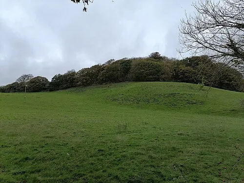 Tan y Castell Historic site, Llanfarian2.4 km S
-
Penglais Mountain, Tirymynach1.9 km N
-
Crugyn Dimai Historic site, Llanfarian2.7 km S
-
Coed Tanycastell Mountain, Llanfarian2.4 km S
-
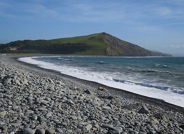 Allt Wen Mountain, Llanfarian3.6 km SW
Sources & licences
Data last updated: