- Elevation
- 136 m
- above sea level
- Local time
- UTC+00:00
- Europe/London · UTC+00:00
- Places inside
- 8
- listed under Llanilar
- Airports
- CWL Cardiff International Airport115 km
- LPL Liverpool John Lennon Airport136 km
About Llanilar
Llanilar is a municipality. Location: Ceredigion, Wales. Elevation: 136 m. The best months to visit are June–September. The nearest airport is Cardiff International Airport (115 km). Nearby sights include Penciog and Pant-y-carne settlement.
Climate of Llanilar
Best months for sightseeingBest months for sightseeing: June–September.
This month · November
A wet month
Day 10° · Night 4° · Rain 134 mm
- Hottest month
- July (day 19°)
- Coldest month
- February (night 2°)
- Wettest month
- November (134 mm)
- Driest month
- May (61 mm)
Bars: average monthly low and high temperature. Below: precipitation. Monthly averages for 1970–2000 at about 18 km resolution, adjusted for elevation. Highlighted months are mild and relatively dry. Source: WorldClim 2.1 (CC BY 4.0).
Show values as a table
| Month | Jan | Feb | Mar | Apr | May | Jun | Jul | Aug | Sep | Oct | Nov | Dec |
|---|---|---|---|---|---|---|---|---|---|---|---|---|
| Average high (°C) | 7° | 7° | 9° | 11° | 14° | 17° | 19° | 19° | 16° | 13° | 10° | 8° |
| Average low (°C) | 2° | 2° | 3° | 4° | 6° | 9° | 12° | 11° | 9° | 7° | 4° | 3° |
| Precipitation (mm) | 116 | 84 | 96 | 65 | 61 | 78 | 78 | 95 | 101 | 124 | 134 | 128 |
Other places to visit in this season: June July August September
How to get to Llanilar
The nearest airport is Cardiff International Airport (CWL), 115 km to the southeast as the crow flies. The nearest large city is Swansea, 81 km to the south.
Airports
- Cardiff International Airport (CWL) Cardiff 115 kmsoutheast
- Liverpool John Lennon Airport (LPL) Liverpool 136 kmnortheast
- Bristol Airport (BRS) Bristol 140 kmsoutheast
Nearby large cities
- Swansea Population: 300.4K 81 kmsouth
- Newport Population: 161.5K 110 kmsoutheast
- Cardiff Population: 372.1K 112 kmsoutheast
- Telford Population: 155.6K 113 kmeast
- Worcester Population: 101.7K 124 kmeast
Straight-line distances; road distances are longer. Airport data: OurAirports.
Places in Llanilar
8 placesBar: population relative to the most populous place in this list.
Cities & villages3
- Pentre-llyn · Village
- Rhostie · Village
- Rhos-y-garth · Village
Mountains & nature3
- Gaer Fawr · Mountain
- Pen Meillionen · Mountain
- Pen Tynreithin · Mountain
Heritage & sights1
- Pen y Castell · Historic site
Nearby attractions & nature
Everything nearby-
Penciog Mountain, Llangwyryfon3.3 km SW
-
Pant-y-carne settlement Mountain, Llanfarian3.5 km N
-
Llangwyryfon Hill Mountain, Lledrod3.6 km S
-
Pen Tancwarel Mountain, Llanfarian4.1 km W
-
Crugyn Dimai Historic site, Llanfarian5.9 km NW
-
Cnwc y Barcud Mountain, Llangwyryfon5 km SW
-
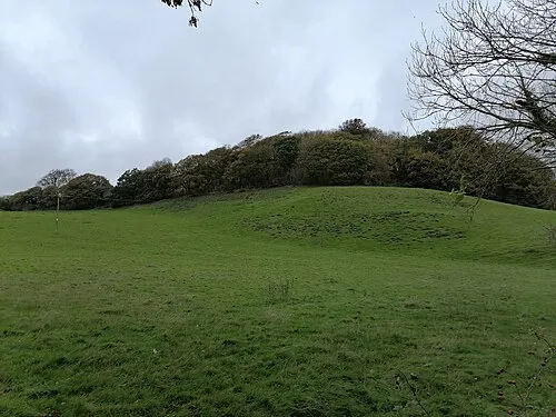 Tan y Castell Historic site, Llanfarian6.6 km NW
-
Comins Pen-y-banc (old GR) Mountain, Lledrod5.4 km SE
Other cities and towns in Ceredigion
-
 Aberystwyth Town, Aberystwyth9 km NW
-
Lledrod Municipality, Ceredigion6.6 km S
-
Aberystwyth Municipality, Ceredigion8.5 km NW
-
Llanrhystyd Municipality, Ceredigion8 km SW
-
Llanbadarn Fawr Municipality, Ceredigion7.7 km N
-
Ystrad Meurig Municipality, Ceredigion9 km SE
Sources & licences
Data last updated: