Caerhun
Located in Conwy, Wales Coordinates: 53°11′44″ N 3°53′19″ W
- Elevation
- 314 m
- above sea level
- Local time
- UTC+00:00
- Europe/London · UTC+00:00
- Places inside
- 20
- listed under Caerhun
About Caerhun
Caerhun is a municipality. Location: Conwy, Wales. Elevation: 314 m.
In comparison
- Nearest larger town: Dolgarrog, 3 km E
- 75 sights and natural places within 10 km Waen Bryn-gwenith, Penygadair
- Listed here: Mountain: 12, Village: 7, Historic site: 1
Places in Caerhun
20 places-
Bryn Castell Historic site
-
Bwlch y Tri Marchog Top Mountain
-
Caerhûn Village
-
Castell Village
-
Clytiau-poethion Mountain
-
Craig Eigiau Mountain
-
Drum Mountain
-
Foel Grach Mountain
-
Foel Lwyd Mountain
-
Llanbedr-y-cennin Village
-
Llys y Gwynt Mountain
-
Pen y Castell Mountain
-
Penygadair Mountain
-
Pen y Gaer Mountain
-
Pontwgan Village
-
Rowen Village
-
Tal-y-bont Village
-
Tal y Fan Mountain
-
Ty'n-y-groes Village
-
Waen Bryn-gwenith Mountain
Nearby attractions & nature
Everything nearby-
Moel Eilio Mountain, Dolgarrog2.4 km S
-
Carnedd y Ddelw Mountain, Aber3.9 km NW
-
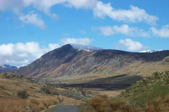 Pen Llithrig y Wrach Mountain, Dolgarrog6.3 km S
-
Foel-fras Mountain, Aber4.3 km W
-
Craig Ffynnon Mountain, Dolgarrog4.4 km S
-
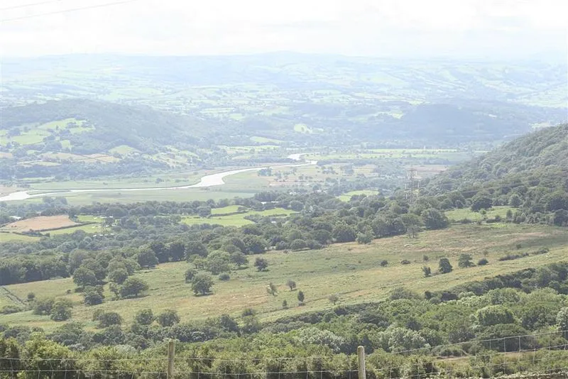 Vale of Conway Natural site, Wales4.9 km SE
-
Carnedd Llewelyn Mountain, Llanllechid6.7 km SW
-
Llwytmor Mountain, Aber5.1 km W
Other cities and towns in Conwy
-
Eglwysbach Municipality, Conwy7 km E
-
Henryd Municipality, Conwy7.2 km N
-
Penmaenmawr Municipality, Conwy7.6 km N
-
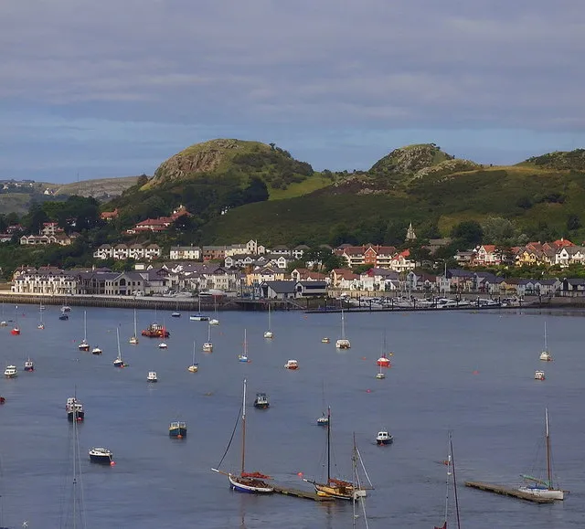 Deganwy Town, Conwy13 km N
-
Llanfairfechan Municipality, Conwy7.9 km NW
-
Llanddoged and Maenan Municipality, Conwy7.5 km E
Sources & licences
Data last updated: