- Elevation
- 1,064 m
- above sea level
- Local time
- UTC+00:00
- Europe/London · UTC+00:00
- Airports
- LPL Liverpool John Lennon Airport77 km
- IOM Isle of Man Airport111 km
About Carnedd Llewelyn
Carnedd Llewelyn is a mountain. Location: Llanllechid, Gwynedd. Elevation: 1,064 m.
Carnedd Llewelyn, also spelled Carnedd Llywelyn, is a mountain massif in the Carneddau range in Snowdonia, north-west Wales. It is the highest point of the Carneddau at 1,061.8 metres (3,484 ft) and the second-highest peak by relative height in Wales, 49th in the British Isles and lies on the border between Gwynedd and Conwy.
Source: Wikipedia · CC BY-SA 4.0
At a glance
- Topographic prominence
- 748 m
Source: Wikidata
Photos of Carnedd Llewelyn
-
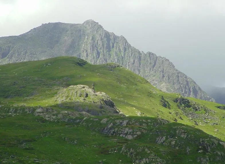
Glyder Fach Gabby77 · Public domain -
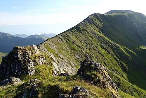
Elidir Fawr Seraaron · CC BY-SA 4.0 -
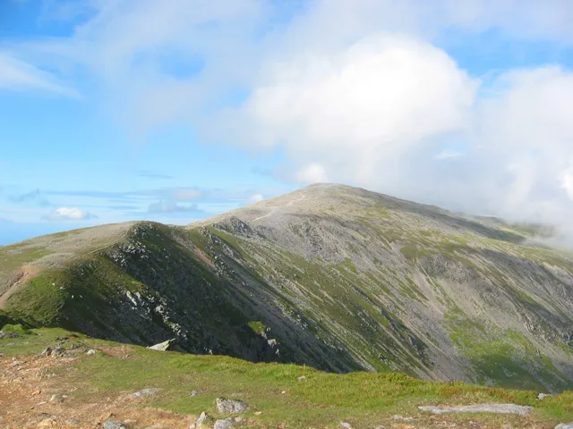
Carnedd Dafydd Espresso Addict · CC BY-SA 2.0 -
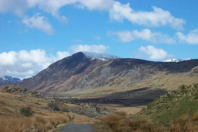
Pen Llithrig y Wrach Terry Hughes · CC BY-SA 2.0 -
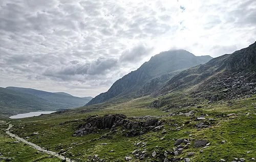
Tryfan Far South Peak Llywelyn2000 · CC BY-SA 4.0


Climate of Carnedd Llewelyn
This month · November
A wet month
Day 4° · Night -1° · Rain 175 mm
- Hottest month
- July (day 13°)
- Coldest month
- February (night -4°)
- Wettest month
- November (175 mm)
- Driest month
- May (87 mm)
Bars: average monthly low and high temperature. Below: precipitation. Monthly averages for 1970–2000 at about 18 km resolution, adjusted for elevation. Highlighted months are mild and relatively dry. Source: WorldClim 2.1 (CC BY 4.0).
Show values as a table
| Month | Jan | Feb | Mar | Apr | May | Jun | Jul | Aug | Sep | Oct | Nov | Dec |
|---|---|---|---|---|---|---|---|---|---|---|---|---|
| Average high (°C) | 1° | 1° | 3° | 5° | 9° | 11° | 13° | 13° | 11° | 7° | 4° | 2° |
| Average low (°C) | -4° | -4° | -3° | -2° | 1° | 3° | 6° | 5° | 4° | 1° | -1° | -3° |
| Precipitation (mm) | 157 | 116 | 137 | 96 | 87 | 94 | 96 | 115 | 131 | 159 | 175 | 169 |
How to get to Carnedd Llewelyn
The nearest airport is Liverpool John Lennon Airport (LPL), 77 km to the east as the crow flies. The nearest large city is Birkenhead, 69 km to the northeast.
Airports
- Liverpool John Lennon Airport (LPL) Liverpool 77 kmeast
- Isle of Man Airport (IOM) Castletown, Rushen 111 kmnorthwest
- Manchester Airport (MAN) Manchester, Greater Manchester 115 kmeast
Nearby large cities
- Birkenhead Population: 325.3K 69 kmnortheast
- Liverpool Population: 496.8K 72 kmnortheast
- St Helens Population: 183.2K 89 kmeast
- Blackpool Population: 145K 95 kmnortheast
- Warrington Population: 172.3K 96 kmeast
Straight-line distances; road distances are longer. Airport data: OurAirports.
Day trips from Carnedd Llewelyn
Within 100 km: 393 historic and cultural sites, 1,601 natural sites, 165 lakes, rivers and coasts.
0–25 km343 places
- Puffin Island Island 18 kmN
- Gored Gôch Island 16 kmNW
- Ynys Dol-lleian Island 19 kmSW
- Ynys Lom Island 24 kmW
25–60 km780 places
- Anglesey Island 28 kmNW
- Traeth Penllech Beach 57 kmSW
- Porth Towyn Beach Beach 53 kmSW
- Traeth Lligwy Beach 30 kmNW
60–100 km1,036 places
- British Isles Island 93 kmN
- Whistling Sands Beach 62 kmSW
- Formby Beach Beach 74 kmNE
- Ainsdale Beach Beach 78 kmNE
Straight-line distances.
Nearest towns and villages
-
Bethesda Village, Bethesda6.3 km W
-
Tregarth Village, Llandygai8.5 km NW
-
Pont Pen - y - benglog Village, Llandygai5.3 km SW
-
Gwernydd Neighbourhood, Bethesda5.4 km W
-
Capel Curig Municipality, Conwy5.9 km SE
-
Gerlan Neighbourhood, Bethesda5.8 km W
Nearby attractions & nature
Everything nearby-
Yr Elen Mountain, Llanllechid1.2 km NW
-
Carnedd Dafydd Mountain, Capel Curig2.4 km SW
-
Foel Grach Mountain, Caerhun1.6 km N
-
Pen yr Helgi Du Mountain, Capel Curig1.9 km SE
-
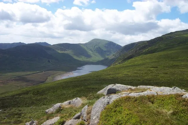 Carneddau Mountain, Llanllechid3.2 km NW
-
Pen Llithrig y Wrach Mountain, Dolgarrog3.9 km SE
-
Carnedd Gwenllian Mountain, Llanllechid2.6 km N
-
Foel Meirch Mountain, Llanllechid2.6 km W
Sources & licences
Data last updated: · 2 independent sources