Ysceifiog
Located in Flintshire, Wales Coordinates: 53°13′57″ N 3°16′18″ W
- Elevation
- 185 m
- above sea level
- Local time
- UTC+00:00
- Europe/London · UTC+00:00
- Places inside
- 12
- listed under Ysceifiog
About Ysceifiog
Ysceifiog is a municipality. Location: Flintshire, Wales. Elevation: 185 m.
In comparison
- Nearest larger town: Caerwys, 3 km NW
- 37 sights and natural places within 10 km Bryn Golau, Moel-y-Parc Transmitting Station
- Listed here: Village: 8, Mountain: 2, Landmark: 1, Neighbourhood: 1
Places in Ysceifiog
12 places-
Babell Village
-
Ddol Village
-
Lixwm Village
-
Moel y Parc Mountain
-
Moel-y-Parc Transmitting Station Landmark
-
Mynydd-llan Village
-
Pen-Ucha'r Plwyf Village
-
Penycloddiau Mountain
-
Pwll-melyn Village
-
Waen Village
-
Walwen Neighbourhood
-
Ysceifiog Village
Nearby attractions & nature
Everything nearby-
Bryn Golau Mountain, Nannerch2.1 km SW
-
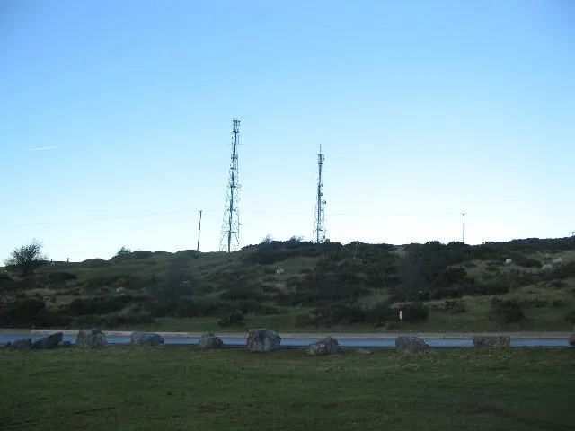 Halkyn Mountain Mountain, Halkyn4.4 km E
-
Maes Mynan Mound Historic site, Caerwys4 km W
-
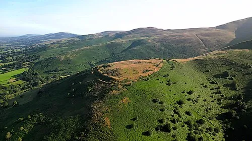 Clwydian Range Mountain, Wales5.7 km S
-
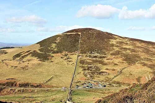 Moel Arthur Mountain, Nannerch5.4 km S
-
Moel Plas-yw Mountain, Nannerch4.5 km S
-
Pen y Ball Mountain, Brynford4.8 km NE
-
Coed Allt y Tywood Mound Historic site, Whitford5.6 km N
Sources & licences
Data last updated: