Glascwm
Located in Powys, Wales Coordinates: 52°11′09″ N 3°17′07″ W
- Elevation
- 250 m
- above sea level
- Local time
- UTC+00:00
- Europe/London · UTC+00:00
- Places inside
- 26
- listed under Glascwm
About Glascwm
Glascwm is a municipality. Location: Powys, Wales. Elevation: 250 m.
In comparison
- Nearest larger town: Llandrindod Wells, 9 km NW
- 70 sights and natural places within 10 km Colwyn Castle, Hirllwyn Bank
- Listed here: Mountain: 16, Village: 6, Historic site: 4
Places in Glascwm
26 places-
Aberedw Hill North Top Mountain
-
Bettws Disserth Village
-
Blaenkerry Mountain
-
Bryn Llys Historic site
-
Bwlchau Mountain
-
Carneddau Mountain
-
Castle Bank Mountain
-
Colwyn Castle Historic site
-
Cregrina Village
-
Fforest Wood Castle Historic site
-
Frank's Bridge Village
-
Garn Fawr Mountain
-
Gilwern Hill Mountain
-
Glascwm Village
-
Glascwm Hill Mountain
-
Gwaunceste Hill Mountain
-
Hirllwyn Bank Mountain
-
Hundred House Village
-
Llanfraith Hill Mountain
-
Llansaintfraed in Elvel Village
-
Penarth Motte Historic site
-
Pen Maerdy Mountain
-
Perthi Common Mountain
-
Werndansey Mountain
-
Wylfre Mountain
-
Wylfre East Top Mountain
Nearby attractions & nature
Everything nearby-
Guanceste Historic site, New Radnor3.9 km NE
-
Gilwern Hill West Top Mountain, Disserth and Trecoed4.9 km NW
-
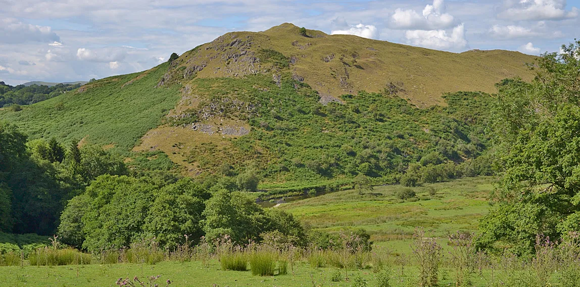 Cefnllys Castle Historic site, Penybont7.3 km NW
-
Bwlch-llwyn Bank Mountain, Penybont5 km N
-
Bryn-y-maen Mountain, New Radnor5.1 km NE
-
Mynyddyrheol Mountain, Penybont5.4 km N
-
The Van Mountain, New Radnor5.6 km NE
-
Castell Crugerydd Historic site, New Radnor5.6 km NE
Sources & licences
Data last updated: