Kerry
Located in Powys, Wales Coordinates: 52°29′08″ N 3°14′56″ W
- Elevation
- 253 m
- above sea level
- Local time
- UTC+00:00
- Europe/London · UTC+00:00
- Places inside
- 26
- listed under Kerry
About Kerry
Kerry is a municipality. Location: Powys, Wales. Elevation: 253 m.
In comparison
- Nearest larger town: Kerry, 2 km N
- 70 sights and natural places within 10 km The Moat; Kerry, Pen Arron
- Listed here: Mountain: 13, Village: 8, Historic site: 5
Places in Kerry
26 places-
Kerry Village785
-
Bryn-bedwyn Mountain
-
Bryn Cwmyrhiwdre Mountain
-
Bryn Pant-y-drain Mountain
-
Caeliber Isaf Mountain
-
Cefnyberin Mountain
-
Dolfor Village
-
Gilfach Mountain
-
Glog Mountain
-
Gwenthriew Enclosure Historic site
-
Hodley Village
-
Hopton Uchaf Village
-
Neuadd Goch Motte Historic site
-
Old Hall Camp Historic site
-
Penarron Village
-
Pen Arron Mountain
-
Pen Gwern-y-go Mountain
-
Pentre Village
-
Pen y Banc Mountain
-
Penygelli Village
-
Penygelli Mountain
-
Sarn Village
-
Shadwell Hill Mountain
-
The Moat; Kerry Historic site
-
Tomen Madoc Motte Historic site
-
Weston Mountain
Nearby attractions & nature
Everything nearby-
Bryn Mountain, Beguildy3.4 km S
-
Anchor Historic site, Bettws-y-Crwyn3.8 km SE
-
Glan Hafren Ringwork Historic site, Newtown and Llanllwchaiarn4.5 km NW
-
Blackhill Mountain, Newtown and Llanllwchaiarn4 km W
-
Castle Bryn Amlwg Historic site, Bettws-y-Crwyn3.9 km SE
-
Newtown Mediumwave Transmitter Landmark, Newtown and Llanllwchaiarn4 km NW
-
Gro Tump Motte Historic site, Newtown and Llanllwchaiarn5 km NW
-
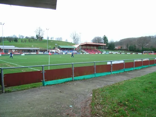 Latham Park Landmark, Newtown and Llanllwchaiarn5.8 km NW
Sources & licences
Data last updated: