Preston District
Situado en Lancashire, Inglaterra Coordenadas: 53°49′19″ N 2°42′34″ O
El nombre de este lugar aún no se ha verificado en este idioma; se muestra en su forma original.
- Población
- 141.801
- 141,8 mil
- Altitud
- 44 m
- sobre el nivel del mar
- Hora local
- UTC+00:00
- Europe/London · UTC+00:00
- Lugares incluidos
- 50
- clasificados en Preston District
- Aeropuertos
- LPL Liverpool John Lennon Airport55 km
- MAN Manchester Airport60 km
Acerca de Preston District
Preston District es un municipio. Ubicación: Lancashire, Inglaterra. Población: 141.801. Altitud: 44 m. Los mejores meses para visitarlo: junio–agosto. El aeropuerto más cercano es Liverpool John Lennon Airport (55 km). Cerca se encuentran Greenhalgh Castle y Hazelhurst Fell.
Clima de Preston District
Mejores meses para hacer turismoMejores meses para hacer turismo: junio–agosto.
Este mes · noviembre
Un mes lluvioso
Día 10° · Noche 4° · Lluvia 117 mm
- Mes más cálido
- Julio (día 19°)
- Mes más frío
- Febrero (noche 1°)
- Mes más lluvioso
- Octubre (117 mm)
- Mes más seco
- Mayo (60 mm)
Barras: temperatura mínima y máxima media mensual. Debajo: precipitación. Promedios mensuales de 1970–2000 con una resolución de unos 18 km, corregidos según la altitud. Los meses destacados son templados y relativamente secos. Fuente: WorldClim 2.1 (CC BY 4.0).
Ver los valores en una tabla
| Mes | ene. | feb. | mar. | abr. | may. | jun. | jul. | ago. | sep. | oct. | nov. | dic. |
|---|---|---|---|---|---|---|---|---|---|---|---|---|
| Máxima media (°C) | 7° | 7° | 9° | 11° | 15° | 17° | 19° | 19° | 17° | 13° | 10° | 7° |
| Mínima media (°C) | 2° | 1° | 3° | 4° | 7° | 10° | 12° | 12° | 10° | 7° | 4° | 2° |
| Precipitación (mm) | 101 | 63 | 83 | 62 | 60 | 71 | 73 | 92 | 98 | 117 | 117 | 112 |
Cómo llegar a Preston District
El aeropuerto más cercano es Liverpool John Lennon Airport (LPL), a 55 km en línea recta hacia el sur. La gran ciudad más cercana es Preston, a 7 km hacia el sur.
Aeropuertos
- Liverpool John Lennon Airport (LPL) Liverpool 55 kmsur
- Manchester Airport (MAN) Manchester, Greater Manchester 60 kmsureste
- Leeds Bradford Airport (LBA) Leeds, West Yorkshire 69 kmeste
Grandes ciudades cercanas
- Preston Población: 313,3 mil 7 kmsur
- Blackburn Población: 146,5 mil 17 kmsureste
- Blackpool Población: 145 mil 22 kmoeste
- Burnley Población: 149,4 mil 31 kmeste
- Wigan Población: 175,4 mil 31 kmsur
Distancias en línea recta; por carretera son mayores. Datos de aeropuertos: OurAirports.
Excursiones desde Preston District
A menos de 100 km: 641 sitios históricos y culturales, 1.890 espacios naturales, 261 lagos, ríos y costas.
0–25 km162 lugares
- St Anne's Beach Playa 23 kmO
- The Island Isla 24 kmSE
- Pickup Bank Reservoir Lago 24 kmSE
- Anglezarke Reservoir Lago 18 kmSE
25–60 km709 lugares
- Gran Bretaña Isla 51 kmNE
- High Moor Montaña 52 kmNO
- Formby Beach Playa 38 kmSO
- Ainsdale Beach Playa 33 kmSO
60–100 km1.921 lugares
- Islas británicas Isla 87 kmO
- Thurstaston Beach Playa 61 kmSO
- St. Bees Beach Seafront Playa 95 kmNO
- The Island Isla 83 kmNE
Distancias en línea recta.
Preston District y ciudades similares
Junto a ciudades de tamaño parecido del mismo país: población, altitud y clima.
| Medida | Preston District | Bolton | Middlesbrough | Norwich |
|---|---|---|---|---|
| Población | 141,8 mil | 141,3 mil | 142,7 mil | 143,1 mil |
| Altitud | 44 m | 105 m | 15 m | 19 m |
| Verano, día (mes más cálido) | 19° | 20° | 20° | 21° |
| Invierno, noche (mes más frío) | 1° | 1° | 1° | 1° |
| Lluvia anual | 1.049 mm | 1.116 mm | 706 mm | 624 mm |
| Mejores meses | Jun.–Ago. | Jun.–Ago. | Jun.–Ago. | Jun.–Sep. |
| Distancia | — | 32 km | 128 km | 299 km |
Clima: promedios mensuales 1970–2000; distancia en línea recta.
Lugares en Preston District
50 lugaresBarra: población respecto al lugar más poblado de esta lista.
Ciudades y pueblos31
- Adelphi · Barrio
- Ashton Bank · Barrio
- Ashton-on-Ribble · Barrio
- Avenham · Barrio
- Barton · Pueblo
- Broadgate · Barrio
- Brookfield · Barrio
- Broughton · Pueblo
- Cadley · Barrio
- Deepdale · Barrio
- Farringdon Park · Barrio
- Fishwick · Barrio
- Frenchwood · Barrio
- Fulwood · Pueblo
- Gallows Hill · Barrio
- Goosnargh · Pueblo
- Grange · Barrio
- Grimsargh · Pueblo
- Haighton · Pueblo
- Holme Slack · Barrio
- Ingol · Barrio
- Larches · Barrio
- Lea · Pueblo
- Maudlands · Barrio
- Nooklands · Barrio
- Ribbleton · Barrio
- Sharoe Green · Barrio
- Sherwood · Barrio
- Tanterton · Barrio
- Whittingham · Pueblo
- Woodplumpton · Pueblo
Patrimonio y lugares de interés17
- Broughton in Amounderness · Monumento
- Deepdale · Monumento
- Our Lady and St Edward Roman Catholic Church · Atracción turística
- Sacred Heart Roman Catholic Church · Atracción turística
- SS Peter and Paul Roman Catholic Church · Atracción turística
- St Anthony of Padua Roman Catholic Church · Atracción turística
- St Clare Roman Catholic Church · Atracción turística
- St Gregory the Great Roman Catholic Church · Atracción turística
- St Ignatius Roman Catholic Church · Atracción turística
- St Joseph Roman Catholic Church · Atracción turística
- St Maria Goretti Roman Catholic Church · Atracción turística
- St Thomas of Canterbury and the English Martyrs Roman Catholic Church · Atracción turística
- St Walburge Roman Catholic Church · Atracción turística
- St Wilfrid Roman Catholic Church · Atracción turística
- The Blessed Sacrament Roman Catholic Church · Atracción turística
- The Holy Family Roman Catholic Church · Atracción turística
- Tulketh Priory · Sitio histórico
Atracciones y naturaleza cercanas
Todo lo cercano-
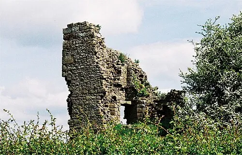 Greenhalgh Castle Sitio histórico, Barnacre-with-Bonds9,3 km N
-
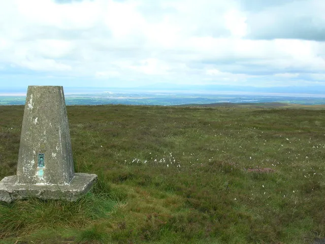 Hazelhurst Fell Montaña, Bleasdale12 km N
-
Nicky Nook Montaña, Nether Wyresdale12 km N
-
Stake House Fell Montaña, Bleasdale14 km N
-
Harrisend Fell Montaña, Nether Wyresdale14 km N
Otras ciudades y localidades en Lancashire
-
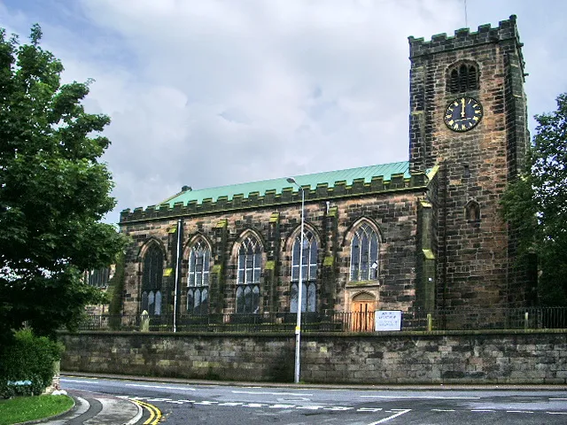 Leyland Localidad, South Ribble14 km S
-
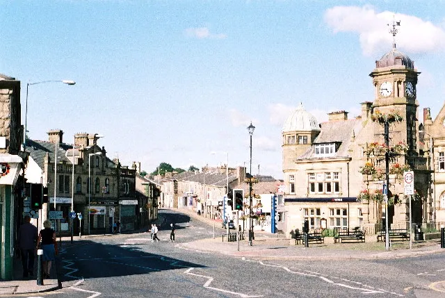 Great Harwood Localidad, Hyndburn District20 km E
-
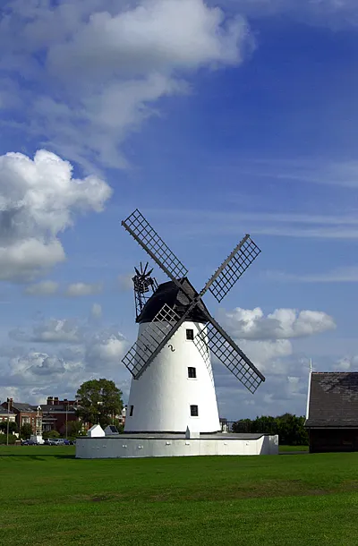 Lytham St Annes Localidad, Fylde District21 km SO
-
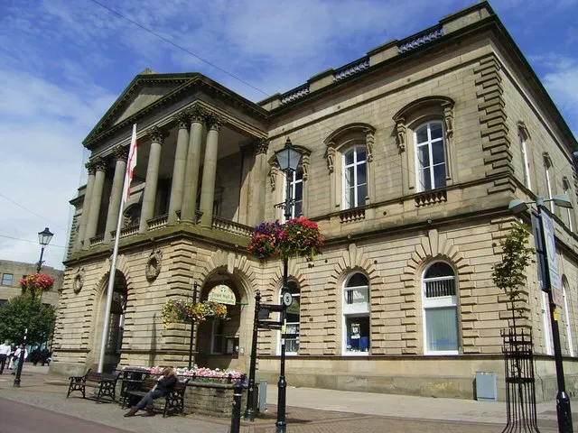 Accrington Localidad, Hyndburn District24 km E
Fuentes y licencias
Datos actualizados por última vez: