
- Elevation
- 0 m
- above sea level
- Local time
- UTC+01:00
- Europe/Tirane · UTC+01:00
- Airports
- CFU Corfu Ioannis Kapodistrias International Airport16 km
- IOA Ioannina King Pyrrhus National Airport71 km
About Xánthos Potamós
Xánthos Potamós is a river. Location: Albania.
The Pavlla (Albanian: Pavllë) or Pavla (Greek: Παύλα), is a river in southern Albania that flows through the municipality of Sarandë, near the border with Greece. The river is approximately 50 km (31 mi) long and drains a catchment area of 374 km² (144 sq mi), part of which extends into Greek territory. It traverses the plains of Mursi and Vrinë before emptying into the Ionian Sea, south of the Butrint Lagoon.
Source: Wikipedia · CC BY-SA 4.0
At a glance
- Length
- 50 km
Source: Wikidata
Photos of Xánthos Potamós
-

Tongo Island Fation Plaku · CC BY-SA 4.0 -

Butrint National Park Marc Morell · CC BY-SA 3.0 -

Ali Pasha Castle Calistemon · CC BY-SA 4.0


Climate of Xánthos Potamós
Best months for sightseeingBest months for sightseeing: May, October.
This month · November
A wet month
Day 18° · Night 10° · Rain 202 mm
- Hottest month
- July (day 32°)
- Coldest month
- January (night 5°)
- Wettest month
- November (202 mm)
- Driest month
- July (15 mm)
Bars: average monthly low and high temperature. Below: precipitation. Monthly averages for 1970–2000 at about 18 km resolution, adjusted for elevation. Highlighted months are mild and relatively dry. Source: WorldClim 2.1 (CC BY 4.0).
Show values as a table
| Month | Jan | Feb | Mar | Apr | May | Jun | Jul | Aug | Sep | Oct | Nov | Dec |
|---|---|---|---|---|---|---|---|---|---|---|---|---|
| Average high (°C) | 14° | 14° | 15° | 19° | 24° | 29° | 32° | 32° | 28° | 23° | 18° | 15° |
| Average low (°C) | 5° | 6° | 7° | 10° | 14° | 18° | 20° | 20° | 17° | 13° | 10° | 7° |
| Precipitation (mm) | 149 | 146 | 108 | 78 | 48 | 20 | 15 | 27 | 73 | 146 | 202 | 195 |
How to get to Xánthos Potamós
The nearest airport is Corfu Ioannis Kapodistrias International Airport (CFU), 16 km to the southwest as the crow flies. The nearest large city is Tirana, 178 km to the north.
Airports
- Corfu Ioannis Kapodistrias International Airport (CFU) Kerkyra (Corfu) 16 kmsouthwest
- Ioannina King Pyrrhus National Airport (IOA) Ioannina 71 kmeast
- Aktion National Airport (PVK) Preveza 111 kmsoutheast
Nearby large cities
- Tirana Population: 418.5K 178 kmnorth
- Durrës Population: 195.9K 183 kmnorth
- Skopje Population: 474.9K 279 kmnortheast
- Prizren Population: 171.5K 283 kmnorth
- Podgorica Population: 236.9K 307 kmnorth
Straight-line distances; road distances are longer. Airport data: OurAirports.
Day trips from Xánthos Potamós
Within 100 km: 9 historic and cultural sites, 21 natural sites, 15 lakes, rivers and coasts.
0–25 km11 places
- Butrint National Park Natural site 5 kmNE
- Ali Pasha Castle Historic site 1 kmN
- Tongo Island Island 4 kmS
- Myrtiotissa Beach 22 kmSW
25–60 km13 places
- Límni Cháskova Lake 49 kmSE
- Mali i Gjerë Mountain 31 kmN
- Mourngána Mountain 34 kmE
- Maja e Dritës Mountain 57 kmNE
60–100 km21 places
- Mali i Mesit Mountain 94 kmNE
- Grámos Óros Mountain 96 kmNE
- Karaburun Natural site 91 kmNW
- Mal Çika Mountain 62 kmNW
Straight-line distances.
Nearest towns and villages


Nearby attractions & nature
Everything nearby-
Ali Pasha Castle Historic site, Bashkia Konispol1.5 km N
-
Butrint National Park Natural site, Albania4.8 km NE
-
Tongo Island Island, Vlorë County4.3 km S
-
 Bistricë River, Vlorë County8.5 km N
-
Buthrotum Historic site, Bashkia Konispol2.9 km NE
-
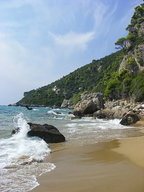 Myrtiotissa Beach, Ionian Islands22 km SW
-
Mali i Lëkurësit Mountain, Bashkia Sarandë15 km N
-
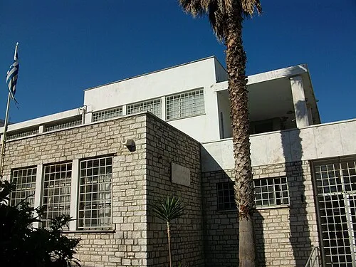 Archaeological Museum of Corfu Museum, Corfu14 km SW
More lakes, rivers and coasts in Albania
-
 Lumi i Kardhiqit River, Gjirokastër County49 km N
-
 Sazan Island Island, Vlorë County105 km NW
-
 Small Prespa Lake Lake, Albania148 km NE
-
 Ishulli i Zvërnecit Island, Vlorë County101 km NW
-
 Lumi i Osumit River, Albania121 km N
-
 Lumi i Shushicës River, Albania100 km N
Sources & licences
Data last updated: · 2 independent sources