Durchspring
Located in Kirchbach, Politischer Bezirk Hermagor Coordinates: 46°39′00″ N 13°15′00″ E
- Elevation
- 1,310 m
- above sea level
- Local time
- UTC+01:00
- Europe/Vienna · UTC+01:00
- Airports
- KLU Klagenfurt Airport83 km
- TRS Trieste Airport93 km
About Durchspring
Durchspring is a mountain. Location: Kirchbach, Politischer Bezirk Hermagor. Elevation: 1,310 m. The best months to visit are July–August. The nearest airport is Klagenfurt Airport (83 km). Nearby sights include Kreutherhöhe and Gitsch Tal.
Climate of Durchspring
Best months for sightseeingBest months for sightseeing: July–August.
This month · November
A wet month
Day 4° · Night -4° · Rain 136 mm
- Hottest month
- July (day 20°)
- Coldest month
- January (night -8°)
- Wettest month
- June (161 mm)
- Driest month
- February (64 mm)
Bars: average monthly low and high temperature. Below: precipitation. Monthly averages for 1970–2000 at about 18 km resolution, adjusted for elevation. Highlighted months are mild and relatively dry. Source: WorldClim 2.1 (CC BY 4.0).
Show values as a table
| Month | Jan | Feb | Mar | Apr | May | Jun | Jul | Aug | Sep | Oct | Nov | Dec |
|---|---|---|---|---|---|---|---|---|---|---|---|---|
| Average high (°C) | 0° | 1° | 5° | 8° | 14° | 17° | 20° | 19° | 16° | 11° | 4° | 0° |
| Average low (°C) | -8° | -7° | -4° | -1° | 4° | 7° | 9° | 9° | 6° | 1° | -4° | -7° |
| Precipitation (mm) | 76 | 64 | 91 | 121 | 140 | 161 | 161 | 144 | 147 | 151 | 136 | 96 |
How to get to Durchspring
The nearest airport is Klagenfurt Airport (KLU), 83 km to the east as the crow flies. The nearest large city is Klagenfurt, 81 km to the east.
Airports
- Klagenfurt Airport (KLU) Klagenfurt am Wörthersee 83 kmeast
- Trieste Airport (TRS) Ronchi dei Legionari/Trieste 93 kmsouth
- Ljubljana Jože Pučnik Airport (LJU) Zgornji Brnik 104 kmsoutheast
Nearby large cities
- Klagenfurt Population: 100.3K 81 kmeast
- Salzburg Population: 157.2K 129 kmnorth
- Innsbruck Population: 132.5K 157 kmnorthwest
- Graz Population: 303.3K 173 kmeast
- Rijeka Population: 108K 174 kmsoutheast
Straight-line distances; road distances are longer. Airport data: OurAirports.
Day trips from Durchspring
Within 100 km: 179 historic and cultural sites, 2,986 natural sites, 673 lakes, rivers and coasts.
0–25 km184 places
- Weissensee Lake 10 kmNE
- Lake Pressegg Lake 15 kmE
- Glanzsee Lake 24 kmNW
- Farchtensee Lake 17 kmE
25–60 km982 places
- Vorderer Langtalsee Lake 53 kmNW
- Brettersee Lake 58 kmNW
- Sandersee Lake 60 kmNW
- Kachelsee Lake 55 kmNW
60–100 km2,672 places
- Hoher Dachstein Mountain 96 kmN
- Sille River 64 kmW
- Fürlegsee Lake 72 kmNW
- Seeriessee Lake 87 kmNE
Straight-line distances.
Nearest towns and villages
-
Schimanberg Village, Kirchbach1.3 km SW
-
Waidegg Village, Kirchbach2.3 km SW
-
Kreuth ob Rattendorf Village, Hermagor-Pressegger See2 km SE
-
Hochwart Village, Kirchbach2.3 km W
-
Gitschtal Municipality, Politischer Bezirk Hermagor3.5 km NE
-
Jenig Village, Hermagor-Pressegger See2.5 km S
Nearby attractions & nature
Everything nearby-
Kreutherhöhe Mountain, Gitschtal1.3 km NE
-
Gitsch Tal Natural site, Carinthia2.6 km NE
-
Hochwarter Höhe Mountain, Kirchbach2.4 km NW
-
Doberbach River, Carinthia2.3 km SE
-
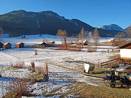 Hühnernock Mountain, Gitschtal5.8 km N
-
Kirchbachgraben Natural site, Carinthia5.4 km W
-
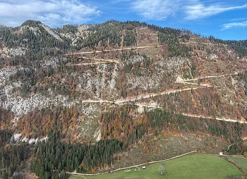 Mittagsnock Mountain, Weißensee6.1 km NE
-
Sattelnock Mountain, Greifenburg6.8 km NW
More nature in Austria
-
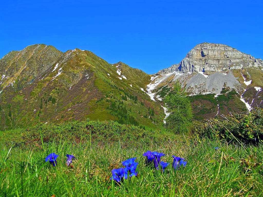 Hochwipfel Mountain, Kirchbach7.5 km SW
-
Straniger Mountain, Kirchbach8.1 km SW
-
Waidegger Höhe Mountain, Kirchbach11 km SW
Sources & licences
Data last updated: