Preininger Kuster
Located in Metnitz, Sankt Veit an der Glan District Coordinates: 47°01′21″ N 14°09′48″ E
- Elevation
- 1,668 m
- above sea level
- Local time
- UTC+01:00
- Europe/Vienna · UTC+01:00
About Preininger Kuster
Preininger Kuster is a mountain. Location: Metnitz, Sankt Veit an der Glan District. Elevation: 1,668 m.
In comparison
- No. 4086 of 7537 mountains in Austria by elevation
- 33 sights and natural places within 10 km Preining, Kuchalm
Airports nearest to Preininger Kuster
- Klagenfurt Airport (KLU) Klagenfurt am Wörthersee 44 km
- Ljubljana Jože Pučnik Airport (LJU) Zgornji Brnik 92 km
- Graz Airport (GRZ) Feldkirchen bei Graz 97 km
Straight-line distance; airports with scheduled flights only. Source: OurAirports (public domain).
Nearest towns and villages
Nearby attractions & nature
Everything nearby-
Preining Mountain, Metnitz1.6 km NW
-
Kuchalm Mountain, Metnitz1.9 km NE
-
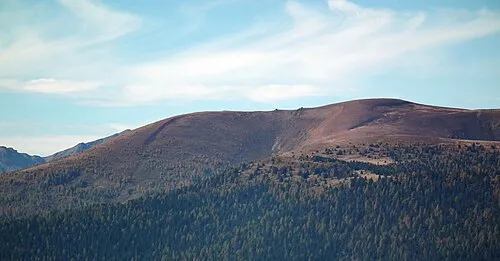 Kranawettriegel Mountain, Metnitz4 km SW
-
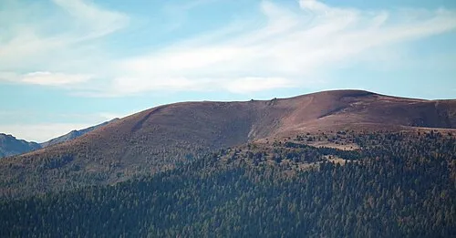 Fleischbank Mountain, Metnitz4.3 km SW
-
Frauenalpe Mountain, Styria3.8 km NW
-
Geierkogel Mountain, Metnitz3.9 km E
-
Ackerlhöhe Mountain, Sankt Georgen am Kreischberg4.7 km NW
-
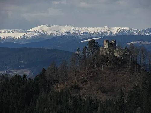 Prankerhöhe Mountain, Stadl-Predlitz7.1 km W
Sources & licences
Data last updated: