- Elevation
- 1,325 m
- above sea level
- Local time
- UTC+01:00
- Europe/Vienna · UTC+01:00
- Airports
- KLU Klagenfurt Airport45 km
- LJU Ljubljana Jože Pučnik Airport68 km
About Wabenkopf
Wabenkopf is a mountain. Location: Villach, Villach Stadt. Elevation: 1,325 m. The best months to visit are July–August. The nearest airport is Klagenfurt Airport (45 km). Nearby sights include Villacher Alpe and Wabenriegel.
Photos of Wabenkopf
-
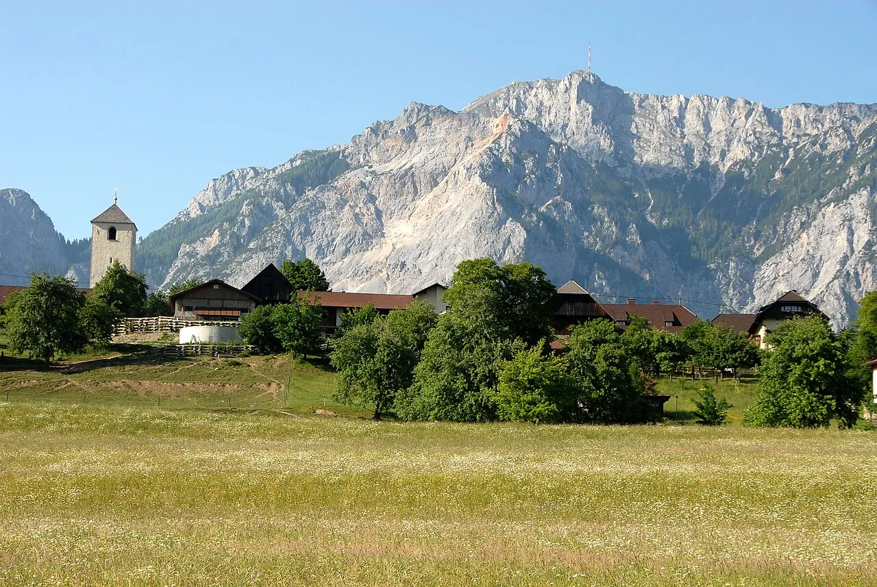
Villacher Alpe Johann Jaritz · CC BY-SA 3.0 -
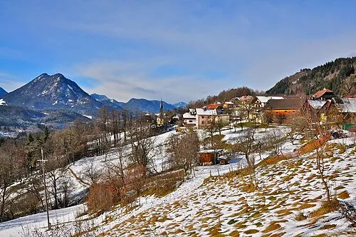
Mittagskofel Johann Jaritz · CC BY-SA 3.0 -
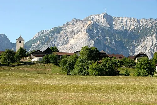
Dobratsch Johann Jaritz · CC BY-SA 3.0 -
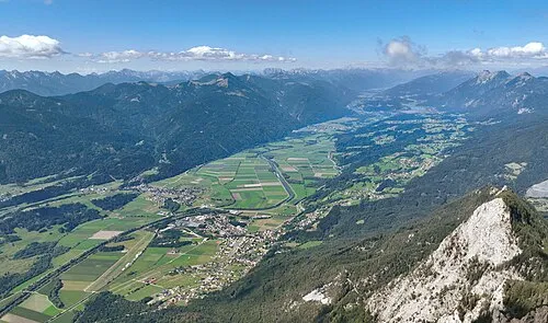
Gail Tal C.Stadler/Bwag · CC BY-SA 4.0 -
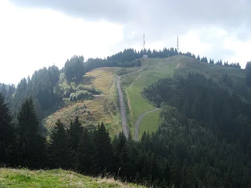
Dreiländereck StFr · CC0


Climate of Wabenkopf
Best months for sightseeingBest months for sightseeing: July–August.
This month · November
A wet month
Day 3° · Night -5° · Rain 149 mm
- Hottest month
- July (day 20°)
- Coldest month
- January (night -10°)
- Wettest month
- June (158 mm)
- Driest month
- February (67 mm)
Bars: average monthly low and high temperature. Below: precipitation. Monthly averages for 1970–2000 at about 18 km resolution, adjusted for elevation. Highlighted months are mild and relatively dry. Source: WorldClim 2.1 (CC BY 4.0).
Show values as a table
| Month | Jan | Feb | Mar | Apr | May | Jun | Jul | Aug | Sep | Oct | Nov | Dec |
|---|---|---|---|---|---|---|---|---|---|---|---|---|
| Average high (°C) | -2° | 0° | 4° | 8° | 14° | 17° | 20° | 19° | 15° | 10° | 3° | -1° |
| Average low (°C) | -10° | -9° | -6° | -2° | 3° | 6° | 8° | 8° | 4° | 0° | -5° | -9° |
| Precipitation (mm) | 76 | 67 | 95 | 122 | 133 | 158 | 156 | 138 | 147 | 155 | 149 | 103 |
How to get to Wabenkopf
The nearest airport is Klagenfurt Airport (KLU), 45 km to the east as the crow flies. The nearest large city is Klagenfurt, 43 km to the east.
Airports
- Klagenfurt Airport (KLU) Klagenfurt am Wörthersee 45 kmeast
- Ljubljana Jože Pučnik Airport (LJU) Zgornji Brnik 68 kmsoutheast
- Trieste Airport (TRS) Ronchi dei Legionari/Trieste 87 kmsouth
Nearby large cities
- Klagenfurt Population: 100.3K 43 kmeast
- Ljubljana Population: 272.2K 83 kmsoutheast
- Graz Population: 303.3K 140 kmnortheast
- Salzburg Population: 157.2K 145 kmnorth
- Rijeka Population: 108K 150 kmsouth
Straight-line distances; road distances are longer. Airport data: OurAirports.
Day trips from Wabenkopf
Within 100 km: 187 historic and cultural sites, 2,088 natural sites, 608 lakes, rivers and coasts.
0–25 km181 places
- Triglav Mountain 24 kmS
- Rjavina Mountain 24 kmSE
- Vršič Mountain 17 kmS
- Planica Natural site 12 kmS
25–60 km759 places
- Lake Bohinj Lake 34 kmS
- Lake Bled Lake 36 kmSE
- Prestreljenik Mountain 33 kmSW
- Porezen Mountain 48 kmS
60–100 km1,943 places
- Hoher Dachstein Mountain 100 kmN
- Raša River 86 kmS
- Šmarna gora Mountain 75 kmSE
- Mrzla Gora Mountain 68 kmE
Straight-line distances.
Nearest towns and villages
-
Oberschütt Neighbourhood, Villach1.6 km S
-
Unterfederaun Neighbourhood, Villach2.3 km E
-
Heiligengeist Neighbourhood, Villach3.2 km N
-
Unterschütt Neighbourhood, Villach3.4 km SE
-
Arnoldstein Municipality, Politischer Bezirk Villach Land4.5 km S
-
Pöckau Village, Arnoldstein3.7 km S
Nearby attractions & nature
Everything nearby-
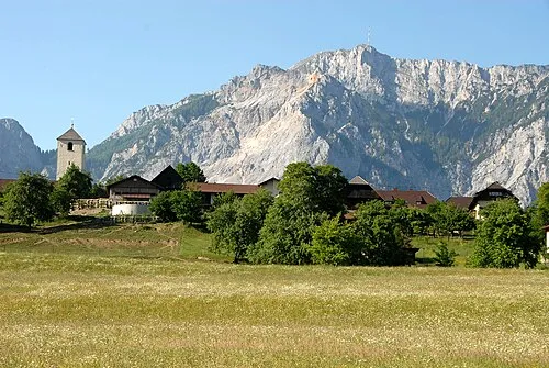 Villacher Alpe Mountain, Arnoldstein1.6 km W
-
Wabenriegel Mountain, Villach1.9 km N
-
Storfhöhe Mountain, Villach3.3 km E
-
Jäger Rast Mountain, Villach3.9 km N
-
Neunernock Mountain, Bad Bleiberg4.5 km NW
-
Zwölfernock Mountain, Nötsch im Gailtal5.4 km W
-
Korpitschgraben Natural site, Carinthia5.3 km SE
-
Hahnenwipfel Mountain, Arnoldstein5.7 km S
Sources & licences
Data last updated: