Gailtaler Alpen
Located in Austria Coordinates: 46°42′22″ N 12°56′50″ E
- Elevation
- 1,493 m
- above sea level
- Local time
- UTC+01:00
- Europe/Vienna · UTC+01:00
About Gailtaler Alpen
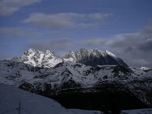
Gailtaler Alpen is a mountain. Location: Austria. Elevation: 1,493 m.
In comparison
- No. 4573 of 7537 mountains in Austria by elevation
- 36 sights and natural places within 10 km Kuku, Auf der Mussen
Nearest towns and villages
Nearby attractions & nature
Everything nearby-
Kuku Mountain, Kötschach-Mauthen1.2 km N
-
Auf der Mussen Mountain, Kötschach-Mauthen1.3 km SW
-
Sittmooser Bach Mountain, Kötschach-Mauthen2.5 km S
-
Schatzbühel Mountain, Oberdrauburg3.3 km NW
-
Schatzbichl Mountain, Oberdrauburg3.4 km NW
-
Podlanigbach River, Carinthia4.4 km SW
-
Karnische Alpen Mountain, Austria6 km SE
-
Doblbach River, Carinthia5 km NE
More nature in Austria
-
 Creta della Cianevate Mountain, Austria11 km S
-
Eiskar Natural site, Carinthia11 km S
-
Jukbichl Mountain, Kötschach-Mauthen4.7 km E
-
Jukbühel Mountain, Dellach im Drautal4.8 km E
-
Grifitzbühel Mountain, Lesachtal5.7 km W
-
Kolbner Spitz Mountain, Oberdrauburg6.1 km NW
Sources & licences
Data last updated: