Kuku
Located in Kötschach-Mauthen, Politischer Bezirk Hermagor Coordinates: 46°43′00″ N 12°57′00″ E
- Elevation
- 1,383 m
- above sea level
- Local time
- UTC+01:00
- Europe/Vienna · UTC+01:00
- Airports
- KLU Klagenfurt Airport106 km
- TRS Trieste Airport107 km
About Kuku
Kuku is a mountain. Location: Kötschach-Mauthen, Politischer Bezirk Hermagor. Elevation: 1,383 m. The best months to visit are July–August. The nearest airport is Klagenfurt Airport (106 km). Nearby sights include Gailtaler Alpen and Auf der Mussen.
Photos of Kuku
-
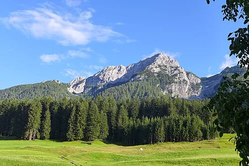
Plenge Gus Grimly · CC BY-SA 4.0 -
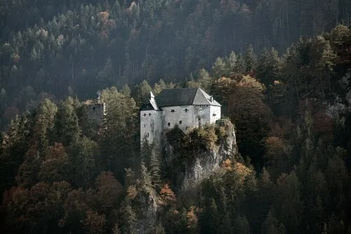
Schloss Stein ich · CC BY-SA 3.0


Climate of Kuku
Best months for sightseeingBest months for sightseeing: July–August.
This month · November
A cold month
Day 4° · Night -4° · Rain 99 mm
- Hottest month
- July (day 19°)
- Coldest month
- January (night -8°)
- Wettest month
- July (150 mm)
- Driest month
- February (52 mm)
Bars: average monthly low and high temperature. Below: precipitation. Monthly averages for 1970–2000 at about 18 km resolution, adjusted for elevation. Highlighted months are mild and relatively dry. Source: WorldClim 2.1 (CC BY 4.0).
Show values as a table
| Month | Jan | Feb | Mar | Apr | May | Jun | Jul | Aug | Sep | Oct | Nov | Dec |
|---|---|---|---|---|---|---|---|---|---|---|---|---|
| Average high (°C) | -1° | 1° | 5° | 8° | 13° | 17° | 19° | 19° | 15° | 10° | 4° | 0° |
| Average low (°C) | -8° | -8° | -4° | -1° | 4° | 7° | 9° | 9° | 5° | 1° | -4° | -7° |
| Precipitation (mm) | 57 | 52 | 72 | 92 | 114 | 139 | 150 | 135 | 117 | 112 | 99 | 70 |
How to get to Kuku
The nearest airport is Klagenfurt Airport (KLU), 106 km to the east as the crow flies. The nearest large city is Klagenfurt, 104 km to the east.
Airports
- Klagenfurt Airport (KLU) Klagenfurt am Wörthersee 106 kmeast
- Trieste Airport (TRS) Ronchi dei Legionari/Trieste 107 kmsouth
- Salzburg Airport (SZG) Salzburg 120 kmnorth
Nearby large cities
- Klagenfurt Population: 100.3K 104 kmeast
- Salzburg Population: 157.2K 121 kmnorth
- Innsbruck Population: 132.5K 133 kmnorthwest
- Ljubljana Population: 272.2K 141 kmsoutheast
- Munich Population: 1.5M 189 kmnorthwest
Straight-line distances; road distances are longer. Airport data: OurAirports.
Day trips from Kuku
Within 100 km: 139 historic and cultural sites, 3,465 natural sites, 668 lakes, rivers and coasts.
0–25 km226 places
- Wolayersee Lake 13 kmSW
- Striedensee Lake 23 kmNE
- Gössnitzersee Lake 24 kmN
- Glanzsee Lake 18 kmNE
25–60 km1,467 places
- Prestreljenik Mountain 56 kmSE
- Sille River 40 kmW
- Fürlegsee Lake 53 kmNW
- Vorderer Langtalsee Lake 34 kmN
60–100 km2,579 places
- Hoher Dachstein Mountain 98 kmNE
- Lake Bohinj Lake 85 kmSE
- Lake Bled Lake 96 kmSE
- Triglav Mountain 78 kmSE
Straight-line distances.
Nearest towns and villages
-
Oetting Village, Oberdrauburg2.2 km NE
-
Laas Village, Kötschach-Mauthen3.5 km SE
-
Strajach Village, Kötschach-Mauthen3.7 km S
-
Waidach Village, Oberdrauburg3.2 km NE
-
Oberdrauburg Village, Oberdrauburg3.3 km NE
-
Oberdrauburg Municipality, Spittal an der Drau District4.6 km N
Nearby attractions & nature
Everything nearby-
Gailtaler Alpen Mountain, Austria1.2 km S
-
Auf der Mussen Mountain, Kötschach-Mauthen2.2 km SW
-
Schatzbichl Mountain, Oberdrauburg3.1 km W
-
Schatzbühel Mountain, Oberdrauburg2.9 km W
-
Sittmooser Bach Mountain, Kötschach-Mauthen3.7 km S
-
Jukbichl Mountain, Kötschach-Mauthen4.6 km E
-
Jukbühel Mountain, Dellach im Drautal4.7 km E
-
Kolbner Spitz Mountain, Oberdrauburg5.3 km NW
More nature in Austria
-
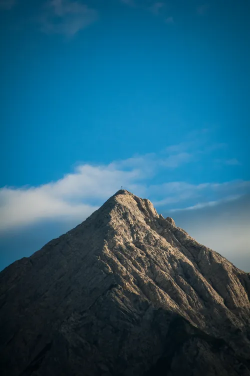 Polinik Mountain, Kötschach-Mauthen10 km S
-
Mauthner Alpe Mountain, Kötschach-Mauthen7.4 km S
-
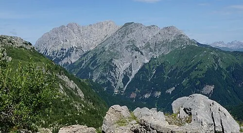 Hinterer Mooskofel Mountain, Kötschach-Mauthen9.7 km S
-
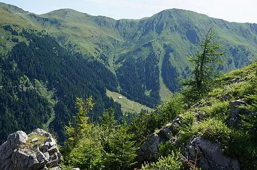 Laucheck Mountain, Kötschach-Mauthen10 km S
-
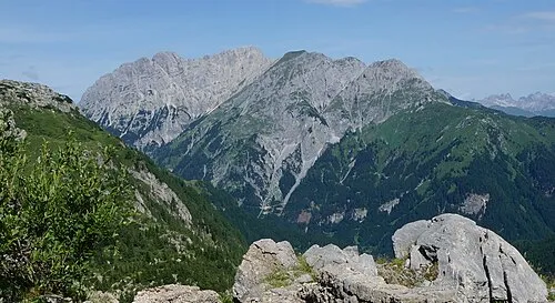 Gamskofel Mountain, Kötschach-Mauthen10 km S
-
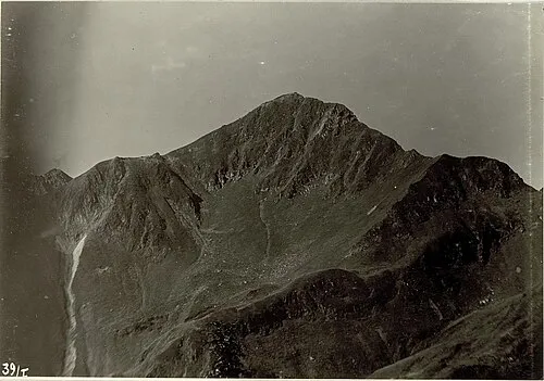 Blaustein Mountain, Kötschach-Mauthen13 km SE
Sources & licences
Data last updated: · 2 independent sources