Kötschach-Mauthen
Located in Politischer Bezirk Hermagor, Carinthia Coordinates: 46°40′15″ N 12°59′57″ E
- Population
- 3,438
- 3.4K
- Elevation
- 698 m
- above sea level
- Local time
- UTC+01:00
- Europe/Vienna · UTC+01:00
- Places inside
- 44
- listed under Kötschach-Mauthen
- Airports
- TRS Trieste Airport100 km
- KLU Klagenfurt Airport102 km
About Kötschach-Mauthen
Kötschach-Mauthen is a municipality. Location: Politischer Bezirk Hermagor, Carinthia. Population: 3,438. Elevation: 698 m. The best months to visit are June–September. The nearest airport is Trieste Airport (100 km). Nearby sights include Karnische Alpen and Wolayerbach.
Photos of Kötschach-Mauthen
-
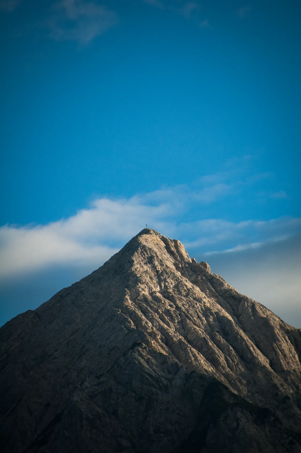
Polinik Tamratia · CC BY-SA 4.0 -
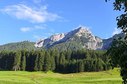
Plenge Gus Grimly · CC BY-SA 4.0 -
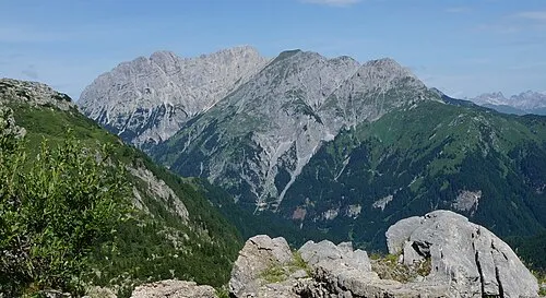
Hinterer Mooskofel Naturpuur · CC BY-SA 4.0 -
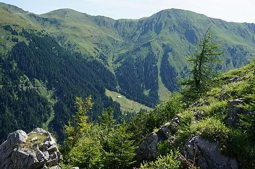
Laucheck Naturpuur · CC BY-SA 4.0 -
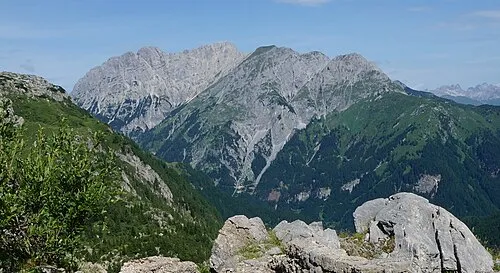
Gamskofel Naturpuur · CC BY-SA 4.0


Climate of Kötschach-Mauthen
Best months for sightseeingBest months for sightseeing: June–September.
This month · November
A cold month
Day 8° · Night 1° · Rain 99 mm
- Hottest month
- July (day 23°)
- Coldest month
- January (night -4°)
- Wettest month
- July (150 mm)
- Driest month
- February (52 mm)
Bars: average monthly low and high temperature. Below: precipitation. Monthly averages for 1970–2000 at about 18 km resolution, adjusted for elevation. Highlighted months are mild and relatively dry. Source: WorldClim 2.1 (CC BY 4.0).
Show values as a table
| Month | Jan | Feb | Mar | Apr | May | Jun | Jul | Aug | Sep | Oct | Nov | Dec |
|---|---|---|---|---|---|---|---|---|---|---|---|---|
| Average high (°C) | 4° | 6° | 9° | 13° | 18° | 21° | 23° | 23° | 20° | 15° | 8° | 4° |
| Average low (°C) | -4° | -3° | 0° | 3° | 8° | 11° | 13° | 13° | 10° | 6° | 1° | -3° |
| Precipitation (mm) | 57 | 52 | 72 | 92 | 114 | 139 | 150 | 135 | 117 | 112 | 99 | 70 |
Other places to visit in this season: June July August September
How to get to Kötschach-Mauthen
The nearest airport is Trieste Airport (TRS), 100 km to the south as the crow flies. The nearest large city is Klagenfurt, 100 km to the east.
Airports
- Trieste Airport (TRS) Ronchi dei Legionari/Trieste 100 kmsouth
- Klagenfurt Airport (KLU) Klagenfurt am Wörthersee 102 kmeast
- Ljubljana Jože Pučnik Airport (LJU) Zgornji Brnik 123 kmsoutheast
Nearby large cities
- Klagenfurt Population: 100.3K 100 kmeast
- Salzburg Population: 157.2K 126 kmnorth
- Ljubljana Population: 272.2K 135 kmsoutheast
- Innsbruck Population: 132.5K 139 kmnorthwest
- Rijeka Population: 108K 187 kmsoutheast
Straight-line distances; road distances are longer. Airport data: OurAirports.
Day trips from Kötschach-Mauthen
Within 100 km: 146 historic and cultural sites, 3,307 natural sites, 642 lakes, rivers and coasts.
0–25 km193 places
- Wolayersee Lake 12 kmSW
- Glanzsee Lake 20 kmN
- Bodensee Lake 24 kmE
- Zweisee Lake 19 kmNE
25–60 km1,262 places
- Prestreljenik Mountain 50 kmSE
- Planica Natural site 60 kmE
- Sille River 45 kmW
- Mangrt Mountain 56 kmSE
60–100 km2,640 places
- Lake Bohinj Lake 79 kmSE
- Lake Bled Lake 91 kmE
- Triglav Mountain 72 kmSE
- Rjavina Mountain 74 kmSE
Straight-line distances.
Places in Kötschach-Mauthen
44 places- 1 Kötschach 1.5K
- 2 Mauthen 724
- 3 Würmlach 310
- 4 Laas 238
- 5 Strajach 91
- 6 Sankt Jakob im Lesachtal 80
- 7 Kreuth 68
- 8 Weidenburg 60
- 9 Podlanig 38
- 10 Mandorf 28
- 11 Höfling 23
- 12 Wetzmann 17
- 13 Aigen 16
- 14 Sittmoos 16
- 15 Gentschach 15
- 16 Kronhof 14
- 17 Nischlwitz 13
- 18 Plon 13
- 19 Gratzhof 12
- 20 Kosta 11
- 21 Lanz 10
- 22 Kreuzberg 9
- 23 Dolling 8
- 24 Mahlbach 8
- 25 Buchach 7
- 26 Dobra 4
- 27 Passau 2
Bar: population relative to the most populous place in this list.
Cities & villages2
Mountains & nature14
- Auf der Mussen · Mountain
- Blaustein · Mountain
- Gamskofel · Mountain
- Hinterer Mooskofel · Mountain
- Jukbichl · Mountain
- Köderhöhe · Mountain
- Köderkopf · Mountain
- Kuku · Mountain
- Laucheck · Mountain
- Mauthner Alpe · Mountain
- Mittlerer Mooskofel · Mountain
- Polinik · Mountain
- Sittmooser Bach · Mountain
- Vorderer Mooskofel · Mountain
Heritage & sights1
- Burgruine Pittersberg · Historic site
Nearby attractions & nature
Everything nearby-
Karnische Alpen Mountain, Austria0.5 km S
-
Wolayerbach River, Carinthia1 km E
-
Valentinbach River, Carinthia1.4 km E
-
Jukbühel Mountain, Dellach im Drautal4.4 km N
-
Ruine Goldenstein Historic site, Dellach4.5 km E
-
Burg Goldenstein Historic site, Dellach4.5 km E
-
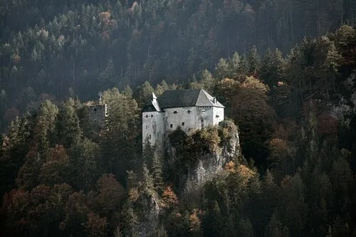 Schloss Stein Historic site, Dellach im Drautal7.1 km N
-
Plenge Mountain, Lesachtal7.7 km W
Sources & licences
Data last updated: