Hohe Tauern National Park
Located in Austria Coordinates: 47°08′08″ N 12°19′31″ E
- Elevation
- 2,944 m
- above sea level
- Local time
- UTC+01:00
- Europe/Vienna · UTC+01:00
About Hohe Tauern National Park
Hohe Tauern National Park is a natural site. Location: Austria.
In comparison
- 119 sights and natural places within 10 km Keeskogel, Untersulzbachkees
Nearest towns and villages
-
Hollersbach im Pinzgau Municipality, Zell am See District11 km NE
-
Prägraten am Großvenediger Municipality, Politischer Bezirk Lienz11 km S
-
Bramberg am Wildkogel Municipality, Zell am See District13 km N
-
Neukirchen am Grossvenediger Municipality, Zell am See District13 km N
-
Sulzau Village, Neukirchen am Grossvenediger12 km N
-
Krimml Municipality, Zell am See District14 km NW
Nearby attractions & nature
Everything nearby-
Keeskogel Mountain, Neukirchen am Grossvenediger0.7 km W
-
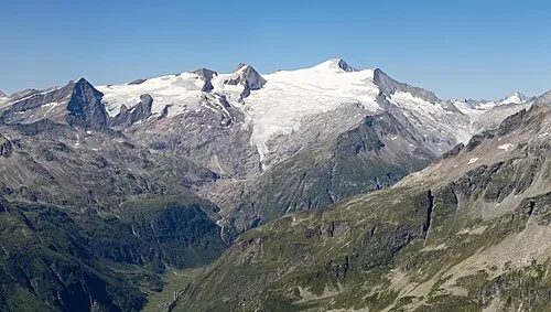 Großvenediger Mountain, Prägraten am Großvenediger3.3 km SE
-
Untersulzbachkees Natural site, State of Salzburg1.9 km E
-
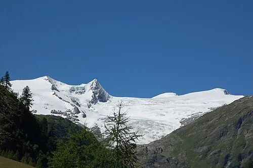 Kleinvenediger Mountain, Matrei in Osttirol3.3 km SE
-
Gamsmutter Mountain, Neukirchen am Grossvenediger2.5 km NE
-
Käferfeldeck Mountain, Neukirchen am Grossvenediger2.5 km NW
-
Obersulzbachkees Natural site, Neukirchen am Grossvenediger2.6 km SE
-
Hohe Fürleg Mountain, Bramberg am Wildkogel3 km E
More nature in Austria
-
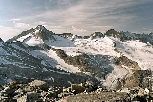 Großer Geiger Mountain, Prägraten am Großvenediger4.9 km S
-
Leiterkogel Mountain, Neukirchen am Grossvenediger3.5 km N
-
Törlbirgkopf Mountain, Bramberg am Wildkogel3.5 km NE
-
Türkische Zeltstadt (former) Natural site, Neukirchen am Grossvenediger3 km SW
-
Plattiger Habach Mountain, Matrei in Osttirol3.6 km E
-
Viltragenkees Natural site, Tyrol3.1 km E
Sources & licences
Data last updated: