Krimml
Located in Zell am See District, State of Salzburg Coordinates: 47°13′00″ N 12°11′00″ E
- Population
- 847
- 847
- Elevation
- 1,231 m
- above sea level
- Local time
- UTC+01:00
- Europe/Vienna · UTC+01:00
- Places inside
- 41
- listed under Krimml
- Airports
- INN Innsbruck Airport64 km
- SZG Salzburg Airport89 km
About Krimml
Krimml is a municipality. Location: Zell am See District, State of Salzburg. Population: 847. Elevation: 1,231 m. The best months to visit are July–August. The nearest airport is Innsbruck Airport (64 km). Nearby sights include Krimmler Ache and Kleefelder Kopf.
Photos of Krimml
-
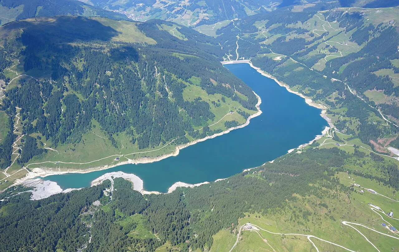
Speicher Durlaßboden Carsten Steger · CC BY-SA 4.0 -
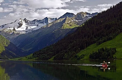
Wildgerlosspitze DanielZanetti · CC BY-SA 3.0 -
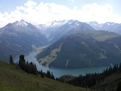
Schönbichl Schlipstraeger · CC BY-SA 4.0 -
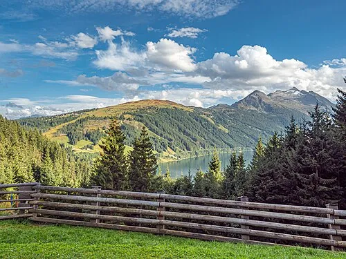
Plattenkogl Frans Berkelaar · CC BY 2.0 -
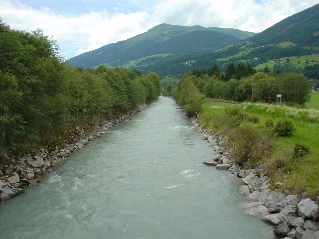
Laubkogel The original uploader was J11 at German Wikipedia · CC BY-SA 3.0


Climate of Krimml
Best months for sightseeingBest months for sightseeing: July–August.
This month · November
A cold month
Day 6° · Night -1° · Rain 91 mm
- Hottest month
- July (day 20°)
- Coldest month
- January (night -5°)
- Wettest month
- July (167 mm)
- Driest month
- February (63 mm)
Bars: average monthly low and high temperature. Below: precipitation. Monthly averages for 1970–2000 at about 18 km resolution, adjusted for elevation. Highlighted months are mild and relatively dry. Source: WorldClim 2.1 (CC BY 4.0).
Show values as a table
| Month | Jan | Feb | Mar | Apr | May | Jun | Jul | Aug | Sep | Oct | Nov | Dec |
|---|---|---|---|---|---|---|---|---|---|---|---|---|
| Average high (°C) | 2° | 2° | 5° | 8° | 14° | 17° | 20° | 19° | 16° | 12° | 6° | 2° |
| Average low (°C) | -5° | -5° | -2° | 1° | 5° | 9° | 11° | 11° | 8° | 4° | -1° | -4° |
| Precipitation (mm) | 65 | 63 | 83 | 88 | 116 | 150 | 167 | 149 | 105 | 85 | 91 | 76 |
How to get to Krimml
The nearest airport is Innsbruck Airport (INN), 64 km to the west as the crow flies. The nearest large city is Innsbruck, 60 km to the west.
Airports
- Innsbruck Airport (INN) Innsbruck 64 kmwest
- Salzburg Airport (SZG) Salzburg 89 kmnortheast
- Bolzano Airport (BZO) Bolzano (BZ) 107 kmsouthwest
Nearby large cities
- Innsbruck Population: 132.5K 60 kmwest
- Salzburg Population: 157.2K 92 kmnortheast
- Munich Population: 1.5M 112 kmnorthwest
- Augsburg Population: 301.1K 160 kmnorthwest
- Klagenfurt Population: 100.3K 175 kmeast
Straight-line distances; road distances are longer. Airport data: OurAirports.
Day trips from Krimml
Within 100 km: 227 historic and cultural sites, 4,438 natural sites, 1,062 lakes, rivers and coasts.
0–25 km462 places
- Eissee Lake 23 kmSE
- Unterer Gerlossee Lake 7 kmSW
- Hintersee Lake 22 kmE
- Ober Gerlossee Lake 7 kmSW
25–60 km1,977 places
- Sille River 52 kmS
- Fürlegsee Lake 34 kmE
- Vorderer Langtalsee Lake 52 kmSE
- Brandlsee Lake 44 kmE
60–100 km3,288 places
- Bayerisches Oberland Mountain 78 kmNW
- Frauenchiemsee Island 75 kmN
- Schloss Hirschberg am Haarsee Historic site 98 kmNW
- Herreninsel Island 73 kmN
Straight-line distances.
Places in Krimml
41 placesBar: population relative to the most populous place in this list.
Cities & villages2
Mountains & nature31
- Achkogel · Mountain
- Arbeskopf · Mountain
- Farnbühel · Mountain
- Foiskarkogel · Mountain
- Gabler · Mountain
- Gamsspitzl · Mountain
- Grosse Jaidbach Spitze · Mountain
- Hinterer Maurerkeeskopf · Mountain
- Hoher Sonntagskopf · Mountain
- Hütteltalkopf · Mountain
- Krimmler Achental · Natural site
- Krimmler Fälle · Natural site
- Oberer Achenfall · Natural site
- Plattenkogl · Mountain
- Rainbachegg · Mountain
- Roßkopf · Mountain
- Schafl Kopf · Mountain
- Schlachtertauern · Mountain
- Schlieferspitze · Mountain
- Seekarkopf · Mountain
- Tauernkopf · Mountain
- Unterer Achenfall · Natural site
- Vorderer Maurerkeeskopf · Mountain
- Vorderkopf · Mountain
- Weiglkarkopf · Mountain
- Wildgerlosspitze · Mountain
- Wildgerlostal · Natural site
- Wildkarspitze · Mountain
- Windbachtalkogel · Mountain
- Zillerplattenspitze · Mountain
- Ziller Spitze · Mountain
Lakes, rivers & coasts4
- Eissee · Lake
- Ober Gerlossee · Lake
- Rainbachsee · Lake
- Wilde Gerlos · River
Nearby attractions & nature
Everything nearby-
Krimmler Ache River, State of Salzburg2.2 km NE
-
Kleefelder Kopf Mountain, Neukirchen am Grossvenediger3.1 km SE
-
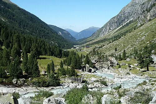 Obersulzbachtal Natural site, State of Salzburg5.4 km E
-
Ruine Friedburg Historic site, Wald im Pinzgau4.2 km NE
-
Laubkogel Mountain, Wald im Pinzgau5.6 km N
-
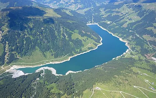 Speicher Durlaßboden Lake, Austria6.1 km W
-
Rossberg Mountain, Neukirchen am Grossvenediger6.7 km NE
-
Trattenbach River, State of Salzburg4.7 km NE
Sources & licences
Data last updated: