- Elevation
- 2,502 m
- above sea level
- Local time
- UTC+01:00
- Europe/Vienna · UTC+01:00
- Airports
- INN Innsbruck Airport64 km
- SZG Salzburg Airport95 km
About Rainbachegg
Rainbachegg is a mountain. Location: Krimml, Zell am See District. Elevation: 2,502 m. The nearest airport is Innsbruck Airport (64 km). Nearby sights include Rainbachsee and Schafl Kopf.
Photos of Rainbachegg
-
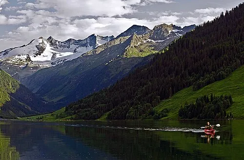
Wildgerlosspitze DanielZanetti · CC BY-SA 3.0 -
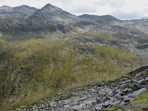
Tauernkopf Whgler · CC BY-SA 4.0 -
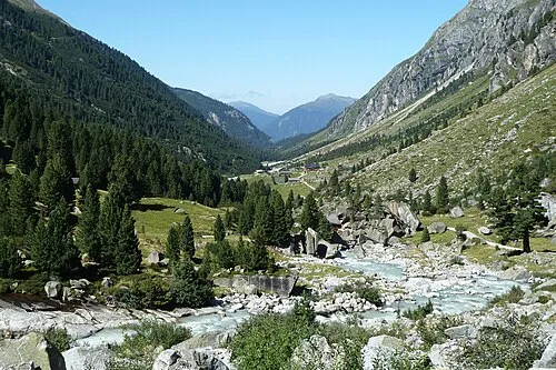
Obersulzbachtal Gerdsch · CC BY-SA 3.0 at -
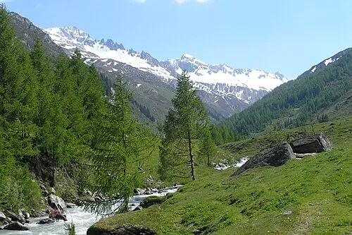
Steinkarspitze Christian Lösch, Karlstadt. The original uploader was Bonnlander at German Wikipedia · CC BY-SA 3.0 de


Climate of Rainbachegg
This month · November
A wet month
Day -2° · Night -7° · Rain 117 mm
- Hottest month
- July (day 10°)
- Coldest month
- February (night -12°)
- Wettest month
- July (168 mm)
- Driest month
- February (85 mm)
Bars: average monthly low and high temperature. Below: precipitation. Monthly averages for 1970–2000 at about 18 km resolution, adjusted for elevation. Highlighted months are mild and relatively dry. Source: WorldClim 2.1 (CC BY 4.0).
Show values as a table
| Month | Jan | Feb | Mar | Apr | May | Jun | Jul | Aug | Sep | Oct | Nov | Dec |
|---|---|---|---|---|---|---|---|---|---|---|---|---|
| Average high (°C) | -6° | -6° | -4° | -1° | 4° | 7° | 10° | 10° | 7° | 3° | -2° | -5° |
| Average low (°C) | -12° | -12° | -10° | -7° | -3° | 1° | 3° | 3° | 1° | -2° | -7° | -10° |
| Precipitation (mm) | 90 | 85 | 112 | 117 | 127 | 151 | 168 | 153 | 114 | 103 | 117 | 101 |
How to get to Rainbachegg
The nearest airport is Innsbruck Airport (INN), 64 km to the west as the crow flies. The nearest large city is Innsbruck, 60 km to the west.
Airports
- Innsbruck Airport (INN) Innsbruck 64 kmwest
- Salzburg Airport (SZG) Salzburg 95 kmnortheast
- Bolzano Airport (BZO) Bolzano (BZ) 101 kmsouthwest
Nearby large cities
- Innsbruck Population: 132.5K 60 kmwest
- Salzburg Population: 157.2K 97 kmnortheast
- Munich Population: 1.5M 118 kmnorth
- Augsburg Population: 301.1K 166 kmnorthwest
- Klagenfurt Population: 100.3K 173 kmeast
Straight-line distances; road distances are longer. Airport data: OurAirports.
Day trips from Rainbachegg
Within 100 km: 215 historic and cultural sites, 4,413 natural sites, 1,018 lakes, rivers and coasts.
0–25 km543 places
- Eissee Lake 19 kmSE
- Wildensee Lake 24 kmE
- Unterer Gerlossee Lake 3 kmNW
- Oberseitsee Lake 25 kmS
25–60 km1,719 places
- Sille River 46 kmSE
- Fürlegsee Lake 34 kmE
- Vorderer Langtalsee Lake 50 kmE
- Brandlsee Lake 46 kmE
60–100 km3,384 places
- Bayerisches Oberland Mountain 82 kmNW
- Frauenchiemsee Island 82 kmN
- Herreninsel Island 80 kmN
- Piz Gralba Mountain 76 kmS
Straight-line distances.
Nearest towns and villages
-
Krimml Village, Krimml7.2 km N
-
Oberkrimml Village, Krimml7 km N
-
Unterkrimml Village, Krimml8.9 km N
-
Lahn Village, Wald im Pinzgau10 km N
-
Vorderkrimml Village, Wald im Pinzgau9.2 km N
-
Kirchdorf Village, Krimml7 km N
Nearby attractions & nature
Everything nearby-
Rainbachsee Lake, Krimml1.4 km W
-
Schafl Kopf Mountain, Krimml2.2 km NW
-
Krimmler Achental Natural site, Krimml2.3 km NE
-
Roßkopf Mountain, Krimml2.5 km W
-
Foiskarkogel Mountain, Krimml3.8 km NE
-
Ober Gerlossee Lake, Krimml3 km W
-
Weiglkarkopf Mountain, Krimml3.5 km E
-
Vorderkopf Mountain, Krimml3.5 km E
More nature in Austria
-
Wildgerlosspitze Mountain, Krimml5.6 km W
-
Tauernkopf Mountain, Krimml7.4 km S
-
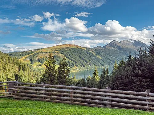 Plattenkogl Mountain, Krimml9.3 km N
-
Windbachtalkogel Mountain, Krimml4.4 km S
-
Wildkarspitze Mountain, Krimml4.4 km NW
-
Hütteltalkopf Mountain, Krimml4.5 km NE
Sources & licences
Data last updated: