Pyhra
Located in Politischer Bezirk Sankt Pölten, Lower Austria Coordinates: 48°08′39″ N 15°41′52″ E
- Population
- 3,536
- 3.5K
- Elevation
- 344 m
- above sea level
- Local time
- UTC+01:00
- Europe/Vienna · UTC+01:00
- Places inside
- 37
- listed under Pyhra
About Pyhra
Pyhra is a municipality. Location: Politischer Bezirk Sankt Pölten, Lower Austria. Population: 3,536. Elevation: 344 m.
In comparison
- No. 12 of 45 places in Politischer Bezirk Sankt Pölten by population
- Nearest larger town: Spratzern, 7 km NW
- 7 sights and natural places within 10 km Kirchmayer Höhe, Hegerberg
- Listed here: Village: 36, Mountain: 1
Airports nearest to Pyhra
- Vienna International Airport (VIE) Vienna 65 km
- Linz-Hörsching Airport (LNZ) Linz 113 km
- M. R. Štefánik Airport (BTS) Bratislava 113 km
Straight-line distance; airports with scheduled flights only. Source: OurAirports (public domain).
Places in Pyhra
37 places-
Pyhra Village1.2K
-
Heuberg Village432
-
Wald Village219
-
Perschenegg Village193
-
Schauching Village119
-
Brunn Village110
-
Reichenhag Village105
-
Nitzling Village100
-
Auern Village98
-
Schnabling Village85
-
Obertiefenbach Village75
-
Perersdorf Village73
-
Getzersdorf Village63
-
Kirchweg Village58
-
Fahra Village54
-
Reichgrüben Village51
-
Hinterholz Village45
-
Obergrub Village41
-
Oberburbach Village39
-
Atzling Village34
-
Zuleithen Village34
-
Zell Village33
-
Adeldorf Village32
-
Blindorf Village28
-
Ebersreith Village28
-
Egelsee Village27
-
Weinzettl Village27
-
Wieden Village23
-
Unterloitzenberg Village10
-
Oberloitzenberg Village9
-
Steinbach Village9
-
Baumgarten Village7
-
Windhag Village3
-
Berg Village
-
Hummelberg Village
-
Kirchmayer Höhe Mountain
-
Unterzell Village
Nearby attractions & nature
Everything nearby-
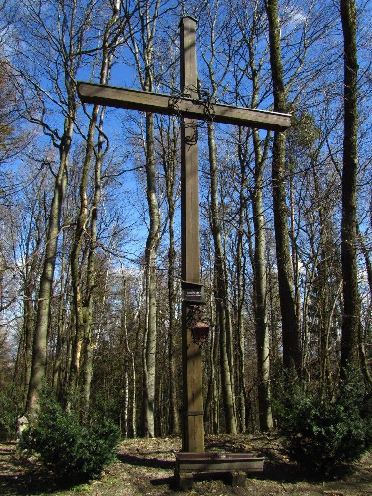 Hegerberg Mountain, Kasten bei Böheimkirchen6.1 km E
-
Schildberg Mountain, St. Pölten8.1 km N
-
Steinwandleiten Mountain, Sankt Veit an der Gölsen9.9 km SW
-
Filialkirche hl. Veit, Kirchstetten (Kirchstetten parish church) Attraction, Kirchstetten10 km NE
-
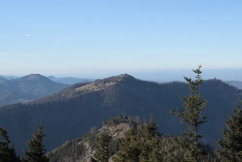 Hinteralpe Mountain, Lilienfeld19 km S
-
Kamin der Glanzstoffwerke Sankt Pölten Landmark, St. Pölten9.2 km NW
-
Schloss Bergau Historic site, Rohrbach an der Gölsen11 km S
-
Gföhlberg Mountain, Brand-Laaben12 km SE
Sources & licences
Data last updated: