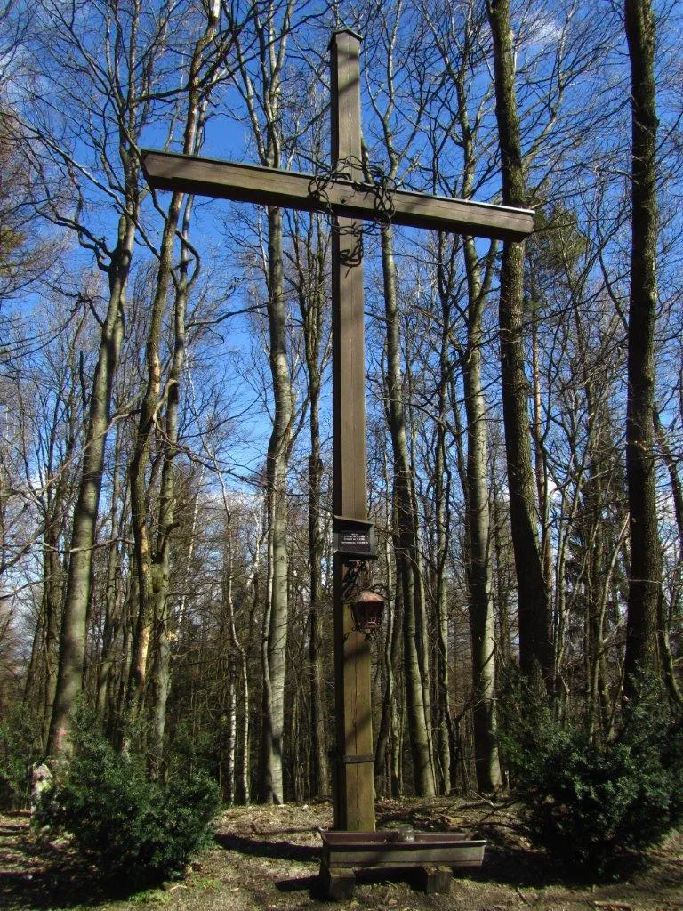
Hegerberg
Located in Kasten bei Böheimkirchen, Politischer Bezirk Sankt Pölten Coordinates: 48°07′55″ N 15°46′42″ E
- Elevation
- 655 m
- above sea level
- Local time
- UTC+01:00
- Europe/Vienna · UTC+01:00
- Airports
- VIE Vienna International Airport59 km
- BTS M. R. Štefánik Airport107 km
About Hegerberg
Hegerberg is a mountain. Location: Kasten bei Böheimkirchen, Politischer Bezirk Sankt Pölten. Elevation: 655 m. The best months to visit are June–August. The nearest airport is Vienna International Airport (59 km). Nearby sights include Gföhlberg and Kirchmayer Höhe.
Climate of Hegerberg
Best months for sightseeingBest months for sightseeing: June–August.
This month · November
A cold month
Day 6° · Night -2° · Rain 56 mm
- Hottest month
- July (day 22°)
- Coldest month
- January (night -6°)
- Wettest month
- July (99 mm)
- Driest month
- January (37 mm)
Bars: average monthly low and high temperature. Below: precipitation. Monthly averages for 1970–2000 at about 18 km resolution, adjusted for elevation. Highlighted months are mild and relatively dry. Source: WorldClim 2.1 (CC BY 4.0).
Show values as a table
| Month | Jan | Feb | Mar | Apr | May | Jun | Jul | Aug | Sep | Oct | Nov | Dec |
|---|---|---|---|---|---|---|---|---|---|---|---|---|
| Average high (°C) | 1° | 3° | 7° | 12° | 17° | 20° | 22° | 22° | 18° | 12° | 6° | 2° |
| Average low (°C) | -6° | -5° | -2° | 2° | 6° | 9° | 11° | 11° | 7° | 3° | -2° | -4° |
| Precipitation (mm) | 37 | 39 | 51 | 57 | 78 | 91 | 99 | 85 | 65 | 48 | 56 | 47 |
How to get to Hegerberg
The nearest airport is Vienna International Airport (VIE), 59 km to the east as the crow flies. The nearest large city is Bratislava, 99 km to the east.
Airports
- Vienna International Airport (VIE) Vienna 59 kmeast
- M. R. Štefánik Airport (BTS) Bratislava 107 kmeast
- Linz-Hörsching Airport (LNZ) Linz 119 kmwest
Nearby large cities
- Bratislava Population: 423.7K 99 kmeast
- Linz Population: 204.8K 113 kmwest
- Graz Population: 303.3K 121 kmsouth
- Brno Population: 404.3K 133 kmnortheast
- Győr Population: 129.3K 148 kmeast
Straight-line distances; road distances are longer. Airport data: OurAirports.
Day trips from Hegerberg
Within 100 km: 586 historic and cultural sites, 2,113 natural sites, 596 lakes, rivers and coasts.
0–25 km124 places
- Mitterberg Mountain 22 kmNE
- Schusterberg Mountain 18 kmN
- Schaflerberg Mountain 17 kmN
- Kühberg Mountain 23 kmNE
25–60 km1,320 places
- Gassner Camel Riding School Natural site 40 kmW
- Donauinsel Island 53 kmE
- Waldsee Lake 32 kmNE
- Vienna Forest Lake Lake 26 kmE
60–100 km1,851 places
- Devínska Kobyla Mountain 91 kmE
- Mirbach Palace Historic site 99 kmE
- Bratislava Castle Historic site 98 kmE
- Most SNP Landmark 99 kmE
Straight-line distances.
Nearest towns and villages
-
Kasten bei Böheimkirchen Village, Kasten bei Böheimkirchen2.4 km N
-
Kronberg Village, Kasten bei Böheimkirchen1.8 km W
-
Mitterfeld Village, Kasten bei Böheimkirchen2.7 km N
-
Fahrafeld Village, Kasten bei Böheimkirchen2.7 km NW
-
Dachsbach Village, Stössing1.6 km E
-
Stössing Municipality, Politischer Bezirk Sankt Pölten3 km SE
Nearby attractions & nature
Everything nearby-
Gföhlberg Mountain, Brand-Laaben7.5 km SE
-
Kirchmayer Höhe Mountain, Pyhra7.9 km SW
-
Sichelbach river River, Kirchstetten6.6 km N
-
Hendlberg Mountain, Brand-Laaben8.3 km SE
-
Valerie Höhe Mountain, Hainfeld10 km SE
-
Schildberg Mountain, St. Pölten10 km NW
-
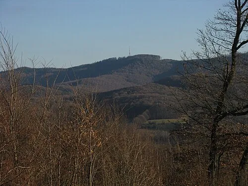 Jochgrabenberg Mountain, Pressbaum18 km E
-
Schöpfl Mountain, Brand-Laaben11 km SE
Sources & licences
Data last updated: · 2 independent sources