Schober
Located in Gutenstein, Politischer Bezirk Wiener Neustadt Coordinates: 47°49′05″ N 15°51′27″ E
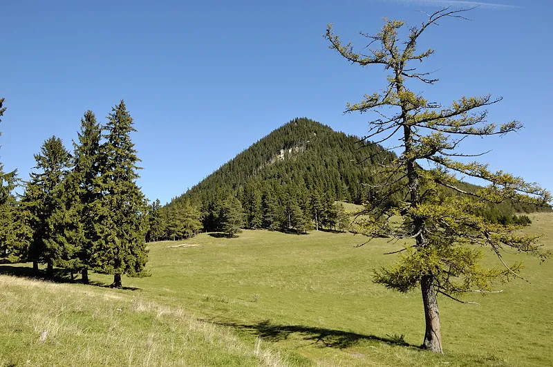
- Elevation
- 1,213 m
- above sea level
- Local time
- UTC+01:00
- Europe/Vienna · UTC+01:00
- Airports
- VIE Vienna International Airport62 km
- GRZ Graz Airport97 km
About Schober
Schober is a mountain. Location: Gutenstein, Politischer Bezirk Wiener Neustadt. Elevation: 1,213 m. The best months to visit are June–August. The nearest airport is Vienna International Airport (62 km). Nearby sights include Öhler and Grössenberg.
Photos of Schober
-

Herzi Pinki · CC BY-SA 3.0 -

Herzi Pinki · CC BY-SA 3.0 -
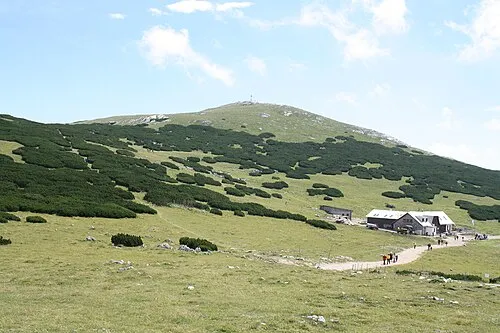
Waxriegel Karl Gruber · CC BY-SA 3.0 -
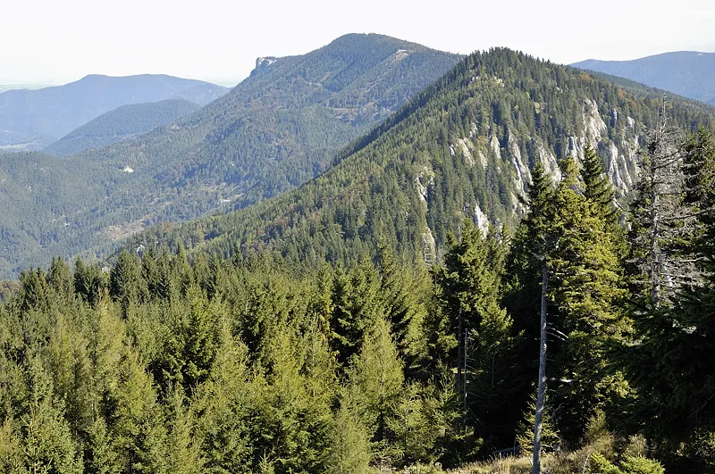
Öhler Doronenko · CC BY-SA 3.0 -
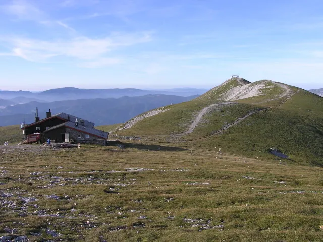
Klosterwappen ich · CC BY-SA 3.0


Climate of Schober
Best months for sightseeingBest months for sightseeing: June–August.
This month · November
A cold month
Day 4° · Night -4° · Rain 68 mm
- Hottest month
- July (day 19°)
- Coldest month
- January (night -8°)
- Wettest month
- July (123 mm)
- Driest month
- February (48 mm)
Bars: average monthly low and high temperature. Below: precipitation. Monthly averages for 1970–2000 at about 18 km resolution, adjusted for elevation. Highlighted months are mild and relatively dry. Source: WorldClim 2.1 (CC BY 4.0).
Show values as a table
| Month | Jan | Feb | Mar | Apr | May | Jun | Jul | Aug | Sep | Oct | Nov | Dec |
|---|---|---|---|---|---|---|---|---|---|---|---|---|
| Average high (°C) | -1° | 1° | 4° | 8° | 14° | 17° | 19° | 19° | 15° | 10° | 4° | 0° |
| Average low (°C) | -8° | -7° | -5° | -1° | 3° | 6° | 8° | 8° | 5° | 0° | -4° | -7° |
| Precipitation (mm) | 49 | 48 | 67 | 69 | 97 | 115 | 123 | 104 | 84 | 65 | 68 | 61 |
How to get to Schober
The nearest airport is Vienna International Airport (VIE), 62 km to the northeast as the crow flies. The nearest large city is Graz, 89 km to the south.
Airports
- Vienna International Airport (VIE) Vienna 62 kmnortheast
- Graz Airport (GRZ) Feldkirchen bei Graz 97 kmsouth
- M. R. Štefánik Airport (BTS) Bratislava 108 kmeast
Nearby large cities
- Graz Population: 303.3K 89 kmsouth
- Bratislava Population: 423.7K 100 kmeast
- Linz Population: 204.8K 129 kmnorthwest
- Győr Population: 129.3K 134 kmeast
- Brno Population: 404.3K 163 kmnorth
Straight-line distances; road distances are longer. Airport data: OurAirports.
Day trips from Schober
Within 100 km: 565 historic and cultural sites, 1,884 natural sites, 524 lakes, rivers and coasts.
0–25 km175 places
- Winsaberg Mountain 7 kmNW
- Windberg Mountain 24 kmSW
- Wendlgupf Mountain 24 kmNW
- Waxeneck Mountain 18 kmNE
25–60 km1,116 places
- Vienna Forest Lake Lake 45 kmNE
- Steinsee Lake 51 kmNE
- Schellensee Lake 48 kmNE
- Türnsee Lake 57 kmW
60–100 km1,682 places
- Gassner Camel Riding School Natural site 66 kmNW
- Devínska Kobyla Mountain 94 kmNE
- Bratislava Castle Historic site 100 kmE
- Most SNP Landmark 100 kmE
Straight-line distances.
Nearest towns and villages
-
Schober Village, Puchberg am Schneeberg0.8 km S
-
Puchberg am Schneeberg Municipality, Politischer Bezirk Neunkirchen4.8 km SE
-
Puchberg am Schneeberg Village, Puchberg am Schneeberg5.4 km SE
-
Putzenhof Village, Gutenstein3.8 km W
-
Gutenstein Village, Gutenstein6.9 km N
-
Sonnleiten Village, Puchberg am Schneeberg3.1 km S
Nearby attractions & nature
Everything nearby-
Öhler Mountain, Puchberg am Schneeberg1.9 km E
-
Grössenberg Mountain, Puchberg am Schneeberg2.8 km SE
-
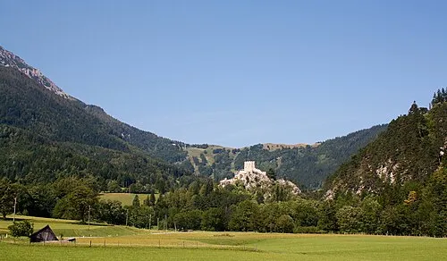 Feiden Mountain, Gutenstein3.6 km SW
-
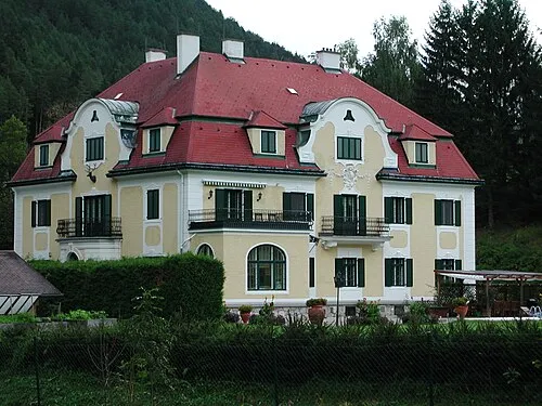 Schloss Somaruga Historic site, Gutenstein2.5 km NW
-
Nebelstein Mountain, Gutenstein3.6 km N
-
 Hohes Eck Mountain, Gutenstein4.8 km NE
-
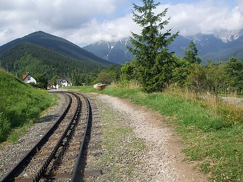 Hoher Hengst Mountain, Puchberg am Schneeberg5.7 km S
-
Hutberg Mountain, Gutenstein4.6 km W
More nature in Austria
-
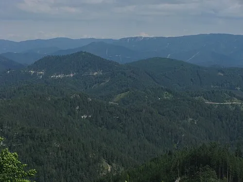 Haberkogel Mountain, Gutenstein9.6 km N
-
Matzingthaler Höhe Mountain, Gutenstein9.3 km N
-
Großer Geißkopf Mountain, Gutenstein7.5 km N
-
Schönbodenhöhe Mountain, Gutenstein11 km N
Sources & licences
Data last updated: · 2 independent sources